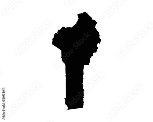
Benin Map. Beninese Country Map. Dahomey Black and White National Outline Border Boundary Shape Geography Territory EPS Vector Illustration Clipart

Download sample
File Details
Published: 2022-08-03 07:39:56.475349 Category: Graphic Resources Type: Vector Model release: NoShare
Contributor: xileodesigns
ID : 520935041