• Login
  • Sign Up
Member Area
  • Login
  • Sign Up
 English
    • Afrikaans formal
    • Afrikaans informal
    • Arabic
    • Azerbaijan
    • Brazilian
    • Bulgarian
    • Catalan
    • Chinese simplified
    • Chinese traditional
    • Croatian
    • Czech
    • Danish
    • Dutch
    • English
    • Estonian
    • Finnish
    • French
    • Georgian
    • German
    • Greek
    • Hebrew
    • Hungarian
    • Icelandic
    • Indonesian
    • Italian
    • Japanese
    • Latvian
    • Lithuanian
    • Malaysian
    • Norwegian
    • Persian
    • Polish
    • Portuguese
    • Romanian
    • Russian
    • Serbian
    • Slovakian
    • Slovenian
    • Spanish
    • Swedish
    • Thai
    • Turkish
    • Ukrainian
    • Vietnamese
VideotonStock
Your Shopping Cart is empty.
  • Files

    Stock

    • Photo
    • Video

    Special offer

    • Collections
    • Packages
    • Lightboxes

    Licenses

    • Royalty free
    • Rights managed
    • Creative
    • Editorial

    Items

    • Most downloaded
    • Featured
    • Most popular
    • New
    • Free
  • Categories

    Browse categories

  • Site info

    Site info

    • About
    • Support
    • Privacy Policy
    • Privacy Policy
    • FAQ
    • Contact Us
    • Contact Us
    • Terms and Conditions
    • Buyer Agreement
    • Seller Agreement

    Customers

    • Users
    • Credits

    Photographers

    • Boby Richards   0
    • Boby Richards   0
    • Videoton1   286

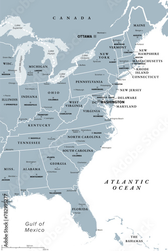
East Coast of the United States, gray political map. Also Eastern Seaboard, Atlantic Coast, and Atlantic Seaboard. The Region and coastline where the Eastern United States meets the Atlantic Ocean.

    {PATH}


Download sample
File Details
Published: 2024-04-12 12:06:51.786798 Category: Travel Type: Vector Model release: Yes
Share
Contributor: Peter Hermes Furian
ID : 782995277

TitleFilesize
Vector3162x4743


Buy on VideotonStock

Keywords
east coast, us, map, atlantic, east, coast, state, seaboard, region, us, us, america, eastern, coastline, atlantic ocean, ocean, canada, great lake, new england, southeast, new york city, florida, washington, boston, pittsburgh, philadelphia, miami, american, north america, state, geographic, capital, border, country, group, mapping, atlas, cartography, geography, infographic, overview, grey, isolated, illustration


Related items

  • Home
  • About
  • Support
  • Privacy Policy
  • News

Copyright © 2022 Videoton Media Stock