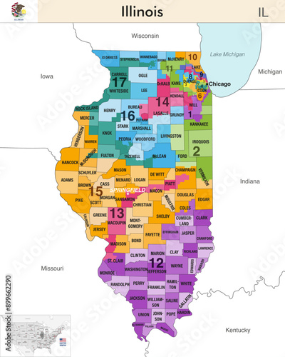
Illinois state map with counties borders and colored congressional districts boundaries due to The 2020 United States census and which is valid since 2023. Flag of Illinois. Vector
Download sample
File Details
Published: 2024-07-27 15:42:56.644209 Category: Graphic Resources Type: Vector Model release: NoShare
Contributor: brichuas
ID : 899662290