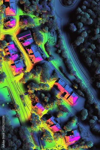
LiDAR GIS aerial map of a suburban area highlighting elevation road systems and vegetation in vibrant hues.

Download sample
File Details
Published: 2024-12-15 13:33:43.890398 Category: Graphic Resources Type: Illustration Model release: NoShare
Contributor: Andrii Gatchenko
ID : 1136285336