• Login
  • Sign Up
Member Area
  • Login
  • Sign Up
 English
    • Afrikaans formal
    • Afrikaans informal
    • Arabic
    • Azerbaijan
    • Brazilian
    • Bulgarian
    • Catalan
    • Chinese simplified
    • Chinese traditional
    • Croatian
    • Czech
    • Danish
    • Dutch
    • English
    • Estonian
    • Finnish
    • French
    • Georgian
    • German
    • Greek
    • Hebrew
    • Hungarian
    • Icelandic
    • Indonesian
    • Italian
    • Japanese
    • Latvian
    • Lithuanian
    • Malaysian
    • Norwegian
    • Persian
    • Polish
    • Portuguese
    • Romanian
    • Russian
    • Serbian
    • Slovakian
    • Slovenian
    • Spanish
    • Swedish
    • Thai
    • Turkish
    • Ukrainian
    • Vietnamese
VideotonStock
Your Shopping Cart is empty.
  • Files

    Stock

    • Photo
    • Video

    Special offer

    • Collections
    • Packages
    • Lightboxes

    Licenses

    • Royalty free
    • Rights managed
    • Creative
    • Editorial

    Items

    • Most downloaded
    • Featured
    • Most popular
    • New
    • Free
  • Categories

    Browse categories

  • Site info

    Site info

    • About
    • Support
    • Privacy Policy
    • Privacy Policy
    • FAQ
    • Contact Us
    • Contact Us
    • Terms and Conditions
    • Buyer Agreement
    • Seller Agreement

    Customers

    • Users
    • Credits

    Photographers

    • Boby Richards   0
    • Boby Richards   0
    • Videoton1   286

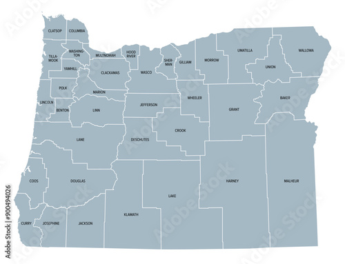
Oregon counties, gray political map with borders and county names. State in the Pacific Northwest region of the United States, subdivided into 36 counties. Nicknamed The Beaver State. Illustration.

    {PATH}


Download sample
File Details
Published: 2024-07-28 14:54:48.744007 Category: Travel Type: Vector Model release: Yes
Share
Contributor: Peter Hermes Furian
ID : 900494026

TitleFilesize
Vector4425x3390


Buy on VideotonStock

Keywords
oregon, state, county, us, division, map, silhouette, pacific, subdivision, or, marion, washington, lane, pacific ocean, name, region, area, state, america, us, us, administrative, border, boundary, federal, nation, structure, land, country, america, atlas, mapping, overview, cartography, infographic, geography, travel, destination, grey, isolated, illustration


Related items

  • Home
  • About
  • Support
  • Privacy Policy
  • News

Copyright © 2022 Videoton Media Stock