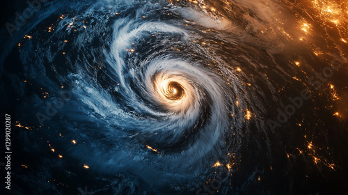
The cutting-edge combination of satellite imagery enhances weather prediction, disaster management, urban planning, environmental monitoring, and real-time geospatial analysis with high accuracy.
Download sample
File Details
Published: 2025-02-28 17:24:51.647822 Category: Science Type: Illustration Model release: NoShare
Contributor: Ashgan
ID : 1299020287