Login
Sign Up
Member Area
Login
Sign Up
English
Afrikaans formal
Afrikaans informal
Arabic
Azerbaijan
Brazilian
Bulgarian
Catalan
Chinese simplified
Chinese traditional
Croatian
Czech
Danish
Dutch
English
Estonian
Finnish
French
Georgian
German
Greek
Hebrew
Hungarian
Icelandic
Indonesian
Italian
Japanese
Latvian
Lithuanian
Malaysian
Norwegian
Persian
Polish
Portuguese
Romanian
Russian
Serbian
Slovakian
Slovenian
Spanish
Swedish
Thai
Turkish
Ukrainian
Vietnamese
Toggle navigation
VideotonStock
Your Shopping Cart is empty.
Files
Stock
Photo
Video
Special offer
Collections
Packages
Lightboxes
Licenses
Royalty free
Rights managed
Creative
Editorial
Items
Most downloaded
Featured
Most popular
New
Free
Categories
Browse categories
Site info
Site info
About
Support
Privacy Policy
Privacy Policy
FAQ
Contact Us
Contact Us
Terms and Conditions
Buyer Agreement
Seller Agreement
Customers
Users
Credits
Photographers
Boby Richards
0
Boby Richards
0
Videoton1
286
Search
Keywords:
Creator ID:
Type:
Photo
Illustration
Vector
Video
Template
3d
Categories:
Animals
Buildings and Architecture
Business
Drinks
The Environment
States of Mind
Food
Graphic Resources
Hobbies and Leisure
Industry
Landscapes
Lifestyle
People
Plants and Flowers
Culture and Religion
Science
Social Issues
Sports
Technology
Transport
Travel
News
Entertainment
Sport News
Languages:
Brazilan Portuguese - Brazil
English - Canada
French - Canada
Spanish - Mexico
English - United States
English - Belgium
French - Belgium
Dutch - Belgium
Czech - Czech Republic
English - Cyprus
Danish - Danmark
German - Germany
English - Estonia
Spanish - Spain
French - France
French - Marocco
English - Greece
English - Ireland
Italian - Italia
English - Latvia
English - Lithuania
German - Luxembourg
English - Luxembourg
French - Luxembourg
English - Hungary
English - Malta
Dutch - Nederlands
Bokmal Norwegian - Norway
German - Austria
Polish - Poland
Portuguese - Portugal
English - Romania
German - Switzerland
English - Slovenia
Slovakian - Slovakia
French - Switzerland
English - Finland
Swedish- Sweden
Italian - Switzerland
English - United Kingdom
English - Bulgaria
English - Australia
Japanese - Japan
Korean - South Korea
English - New Zealand
Russian - Russia
English - Ukrain
English - Thailand
Orientation:
All
Horizontal
Vertical
square
Color:
Model property release:
All
Yes
No
Duration Video:
All
Up to 10 seconds
Up to 20 seconds
Longer than 30 seconds
Results
(0)
Site
Getty/iStock
Bigstockphoto
Pixabay
Adobe Stock
Relevance
New
Most popular
Most downloaded
Undiscovered
12
24
36
48
96
Auto paging
Menu
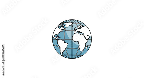
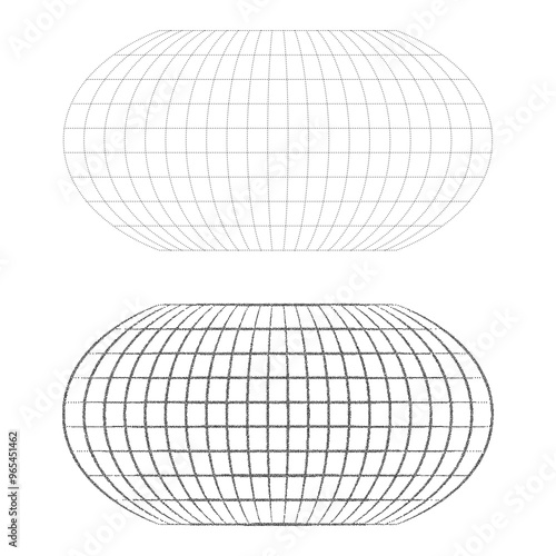
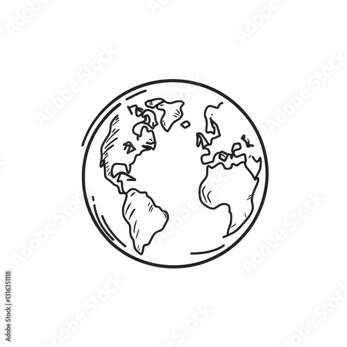
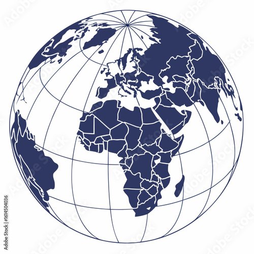
Illustration of an oval shaped world globe with visible continents and grid lines on a white background
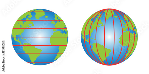
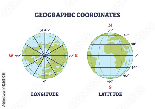
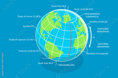
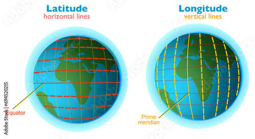
latitude and longitude diagram of earth
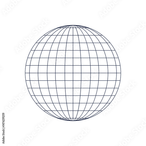
Front view of planet earth. globe grid. latitude and longitude. wire globe icon. symbol of global social. 3D vector illustration
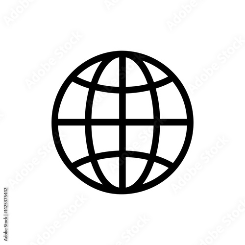
globe global icon sign vector
Vector illustration of map location pin marker isolated on white background
Simplified world map with latitude and longitude grid using Aitoff projection in monochrome vector style, modern flat illustration style
Flat earth globe icon with latitude and longitude lines
World globe earth vector icon outline, geography, map, planet, travel, global, international
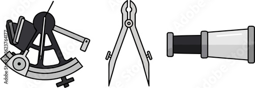
old nautical sextant with optics isolated on colored background
multiverse or alternative universe concept
Stylized globe with continents and meridians in dark blue
Abstract digital artwork, latitude longitude point location line in mountain
Globe Grid World Map Teal and White Detailed Earth Representation
A digital representation of the world on a circuit board, symbolizing global connectivity.
Simple black globe icon with a white grid representing latitude and longitude lines.
Simple stipple black blank world grid of meridians and parallels on a white background. Futuristic or retro halftone grain, pointillism style concept for presentation, or poster. Vector illustration
Geographic coordinates diagram shows Earth with longitude and latitude lines, demonstrating global position measurement. Outline diagram
3D Isometric Flat Vector Conceptual Illustration of Latitude And Longitude Diagram, Geographic Coordinate System
Earth Globe with Orbit Path
Icon of a globe with latitude and longitude lines, representing the world, global network, and internet. Vector pictogram with thin black lines on a transparent background. Line thickness is editable
Gold and Bronze Pixel Art Globe on Dark Background
Coordinate glyph icon
Outline of a globe with latitude and longitude lines displayed on a plain background. Generative AI
Solitary polar bear wandering across vast icy Arctic landscape under clear blue sky.
World globe grids in circle form with stars shapes. Linear striped spheres, earth latitude and longitude line grid. Retro futuristic design elements. Vector illustration
Three Earth Globes in Space, Depicting the Planet From Different Angles
rotation oscillating globe
Globe earth world map vector icon for geography and global network connection internet symbol design element
Illustration of a globe with latitude and longitude lines is showcased
Globe grid spheres. Striped 3D spheres, geometry globe grid, earth latitude and longitude line grid vector symbol set. Spherical grid globe shapes. Illustration globe striped, global geography surface
World globe grids icon set, Earth longitude and latitude line, set Earth globe hemispheres, linear striped globes
Black and white icon of a spinning globe with latitude and longitude lines on a white background
Latitude longitude lines grid, earth mapping . Geographic coordinate system. World prime meridian parallel. Birmingham, equator. horizontal vertical strokes in sphere. Cartography illustration vector
Globe icon symbol pictogram. stroke designs.
Globe wireframe grid earth map global navigation isolated
Black and white globe with latitude and longitude lines
Globe grid spheres. Striped 3D wireframe spheres, geometry globe grid, earth latitude and longitude line grid vector symbols set
Sun rays hit the earth at angles. Ray of light facing the sun facing the earth
Red map pointer icon isolated on white background. Navigation and location concept. Destination pin symbol for direction and positioning on a map.
Vector a black and white globe with continents and grid lines showing earth's geography and global representation
Simple black outline globe icon with latitude and longitude lines, representing world or internet
15-Degree world map graticule (latitude-longitude) grid vector in WGS 84
Flat earth globe icon with longitude and latitude grid
A Black and White Illustration of the Earth Globe Showing Continents and Latitude and Longitude Gridlines
3d line globe on white background. world worldwide latitude shape global earth grid planet globe longitude sphere 3d perspective
Latitude and Longitude marker. Coimbra, Portugal
hand drawn cute out doodle style isolated latitude interpolation table latitude sun altitude meter latitude projection latitude calculator dial latitude segment map latitude compass rose
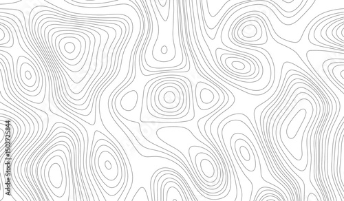
Modern design with White background with topographic wavy pattern design
Collection, set of old compasses on the table. Travel, geography, navigation, tourism, histoory and exploration concept background. Old compass background.
Earth Globe Outline Illustration Showing Continents within a Bold Double Circle Design
map pin location icon sign vector
Coordinate lineal color icon
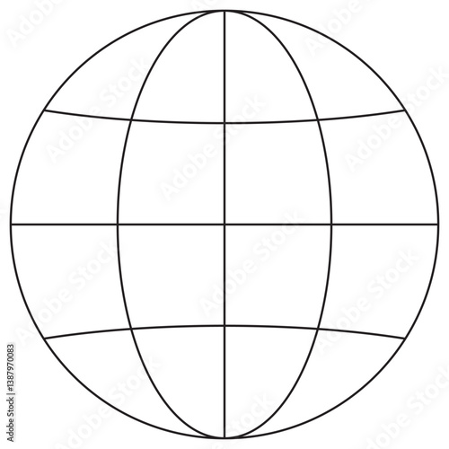
A line drawing of a globe on a stand showing the continents and lines of latitude and longitude
Vector image of a globe with latitude and longitude lines in a minimalist style and copies of resorts
Four different views of Earth
Blue world map, Robinson projection, with grid lines on blue backdrop
Grey world map with latitude and longitude grid on The Robinson projection. Vector Map Illustration.
A globe, its surface covered in unmarked latitude and longitude lines, presents a challenge for any mapmaker.
Blue globe with continents and latitude longitude lines
A sleek, D icon showcasing a globe defined by latitude and longitude lines, designed in a minimalist style.
Vector black and white world map projection with visible continents and grid lines showing latitude and longitude
Metallic globe with continents and latitude lines isolated on a transparent background
A 3D-style icon of a globe with longitude and latitude lines
Two girls look at the ocean from a high hill
Flat earth globe icon with longitude and latitude lines
A Black and White illustration of the Earth Globe with Gridlines Highlighting Continents
Globe icon with latitude and longitude lines, simple globe symbol, abstract earth illustration with grid design, network, communication, connection, map, world, symbol
globe with latitude and longitude lines vector ico
Illustration of a stylized globe with continents and latitude longitude lines in a vase shape design
Stylized globe with continents and meridians isolated on dark background
A sketch of a globe showing continents and lines of latitude and longitude on a white background
Nautical Navigation Tools Illustration Featuring a Sextant Dividers and Telescope for Maritime Travel and Exploration
Stylized globe with continents and meridians in dark blue
Background of contour topographic map. Abstract topography and geography grid background. Topographic map. Contour abstract background. Vector illustration.
Globe with Latitude and Longitude Lines Icon
A graphic design that evokes navigation and exploration by featuring abstract latitude and longitude lines intersecting.
hand drawn cute out doodle style isolated latitude coordinate latitude marker latitude gauge compass latitude zone band chart latitude projection map latitude position sensor
Magnetic compass on old world map. Travel, geography, navigation, tourism and exploration concept background.
World globe grids in oval form. Linear striped spheres, earth latitude and longitude line grid. Retro futuristic design elements. Vector illustration.
Wireframe gold grid globe mesh spherical object set. Network line, HUD three-dimensional design sphere with latitude longitude structure vector illustration isolated on black background illustration
15-Degree world map graticule (latitude-longitude) grid vector in Robinson projection
Middle of the World Monument, Ciudad Mitad del Mundo, Ecuador. 0 latitude.
Simple globe icon with latitude and longitude lines
A weathered pirate map and antique spyglass on a rustic wooden table, with the blurred silhouette of a pirate ship sailing in the background, creating a mysterious atmosphere
Flat earth globe icon with latitude and longitude lines
Black linear globe grid on white background. Isometric perspective
Dynamic diagonal parallel slanted lines abstract vertical geometric pattern.
globe with latitude and longitude lines vector ico
Globe world earth global sphere planet geographic meridian latitude longitude network connection map icon
globe earth icon sign vector
Topographic Map Illustration with Contour Lines and Ambient Lighting in Minimalist Style
A globe, its surface covered in unmarked latitude and longitude lines, presents a challenge for any mapmaker.
A minimalistic vector image of a globe icon with latitude and longitude lines, set against a transparent background.
old nautical sextant with optics isolated on colored background
A stunning visual representation of the world's grid system, featuring longitude and latitude lines intersecting across
A close-up image of a weathered, torn nautical chart with a compass rose in the lower left corner. The chart is marked with lines of latitude and longitude, indicating direction and location. It is fa
flat black solid icon items isolated on white background aurora borealis (conditions): clear sky high latitude solar activity darkness cold air remote location
Elliptical globe outline with black grid lines representing latitude and longitude on white background
Abstract Globe with Dots Representing Locations or Connections on Black
Vector world map in Patterson cylindrical projection. A plain geographical map with latitude and longitude lines, centered at 120 degrees W longitude.