Login
Sign Up
Member Area
Login
Sign Up
English
Afrikaans formal
Afrikaans informal
Arabic
Azerbaijan
Brazilian
Bulgarian
Catalan
Chinese simplified
Chinese traditional
Croatian
Czech
Danish
Dutch
English
Estonian
Finnish
French
Georgian
German
Greek
Hebrew
Hungarian
Icelandic
Indonesian
Italian
Japanese
Latvian
Lithuanian
Malaysian
Norwegian
Persian
Polish
Portuguese
Romanian
Russian
Serbian
Slovakian
Slovenian
Spanish
Swedish
Thai
Turkish
Ukrainian
Vietnamese
Toggle navigation
VideotonStock
Your Shopping Cart is empty.
Files
Stock
Photo
Video
Special offer
Collections
Packages
Lightboxes
Licenses
Royalty free
Rights managed
Creative
Editorial
Items
Most downloaded
Featured
Most popular
New
Free
Categories
Browse categories
Site info
Site info
About
Support
Privacy Policy
Privacy Policy
FAQ
Contact Us
Contact Us
Terms and Conditions
Buyer Agreement
Seller Agreement
Customers
Users
Credits
Photographers
Boby Richards
0
Boby Richards
0
Videoton1
286
Search
Keywords:
Creator ID:
Type:
Photo
Illustration
Vector
Video
Template
3d
Categories:
Animals
Buildings and Architecture
Business
Drinks
The Environment
States of Mind
Food
Graphic Resources
Hobbies and Leisure
Industry
Landscapes
Lifestyle
People
Plants and Flowers
Culture and Religion
Science
Social Issues
Sports
Technology
Transport
Travel
News
Entertainment
Sport News
Languages:
Brazilan Portuguese - Brazil
English - Canada
French - Canada
Spanish - Mexico
English - United States
English - Belgium
French - Belgium
Dutch - Belgium
Czech - Czech Republic
English - Cyprus
Danish - Danmark
German - Germany
English - Estonia
Spanish - Spain
French - France
French - Marocco
English - Greece
English - Ireland
Italian - Italia
English - Latvia
English - Lithuania
German - Luxembourg
English - Luxembourg
French - Luxembourg
English - Hungary
English - Malta
Dutch - Nederlands
Bokmal Norwegian - Norway
German - Austria
Polish - Poland
Portuguese - Portugal
English - Romania
German - Switzerland
English - Slovenia
Slovakian - Slovakia
French - Switzerland
English - Finland
Swedish- Sweden
Italian - Switzerland
English - United Kingdom
English - Bulgaria
English - Australia
Japanese - Japan
Korean - South Korea
English - New Zealand
Russian - Russia
English - Ukrain
English - Thailand
Orientation:
All
Horizontal
Vertical
square
Color:
Model property release:
All
Yes
No
Duration Video:
All
Up to 10 seconds
Up to 20 seconds
Longer than 30 seconds
Results
(0)
Site
Getty/iStock
Bigstockphoto
Pixabay
Adobe Stock
Relevance
New
Most popular
Most downloaded
Undiscovered
12
24
36
48
96
Auto paging
Menu
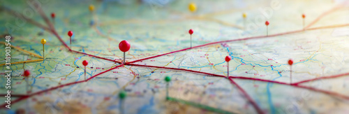
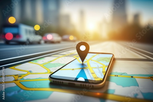
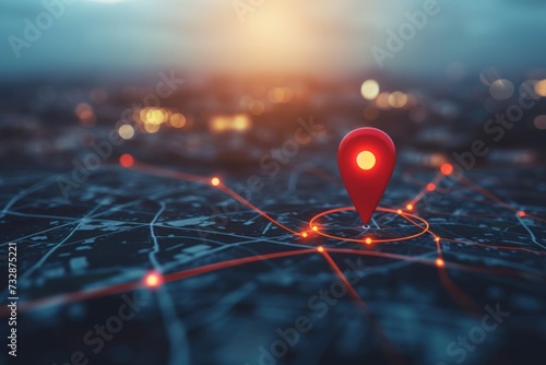
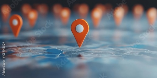
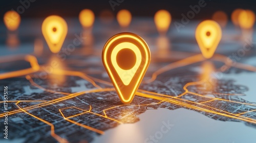
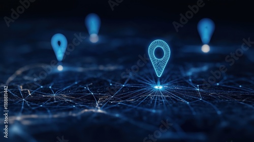
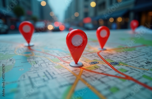
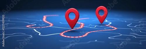
Find your way. Location marking with a pin on a map with routes. Adventure, discovery, navigation, communication, logistics, geography, transport and travel theme concept background.
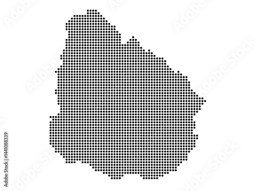
Dotted map of Uruguay Medium
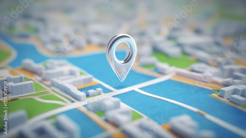
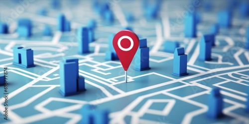
City map concept shows location pin. Business location pinpoint on map. 3D rendering of detailed street layout, buildings. Orange pin points business on city map. Trees, buildings part of scene.
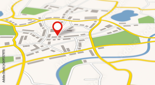
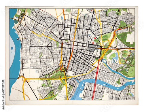
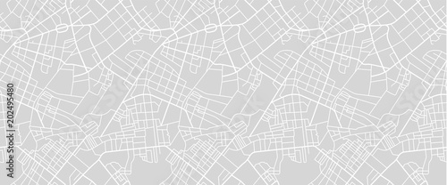
A generic city map with a pin
Close-up of creative business team analyzing ideas on mind map during new project in the office.
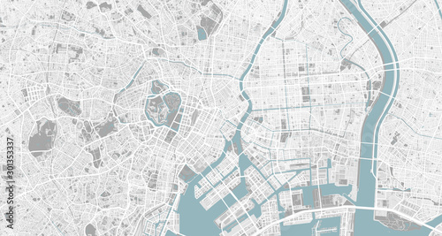
Detailed map of Tokyo, Japan
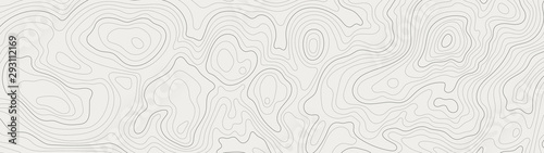
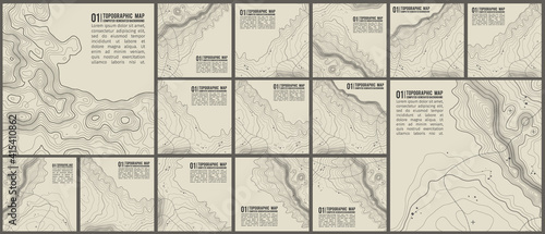
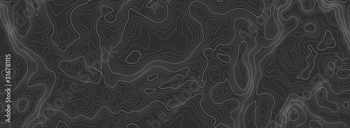
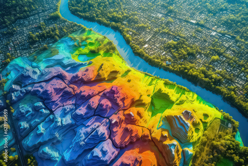
topographic line contour map background, geographic grid map
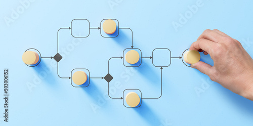
Business process management and automation concept with person moving wooden pieces on flowchart diagram. Workflow implementation to improve productivity and efficiency. Management and organization.
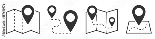
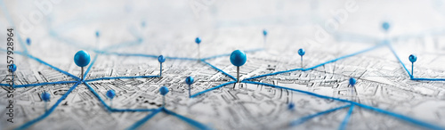
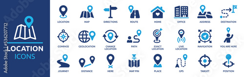
Map and location symbols set. Mapping icon collection. Geolocation map path distance. GPS cartography position. Pinpoint, map search, route, navigator - stock vector.
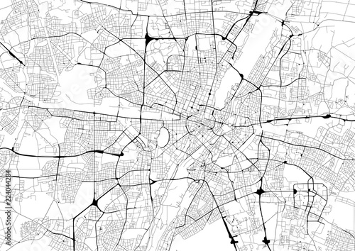
Monochrome city map with road network of Munich
Red location pin symbolizing navigation and direction in digital maps, cut out on transparent background
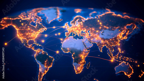
A world map highlighting glowing city connections
Topographic pattern texture vector Set. Grey contours vector topography. Geographic mountain topography vector illustration. Map on land vector terrain. Elevation graphic contour height lines.
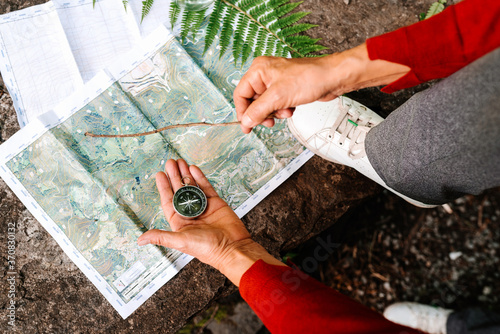
From above of anonymous female tourist orientating on map and compass while standing on rock in forest
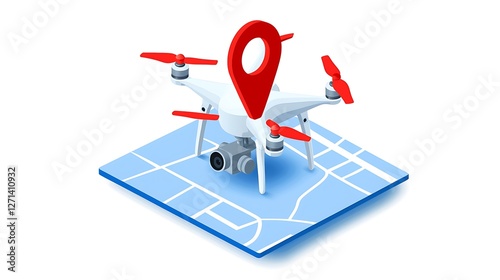
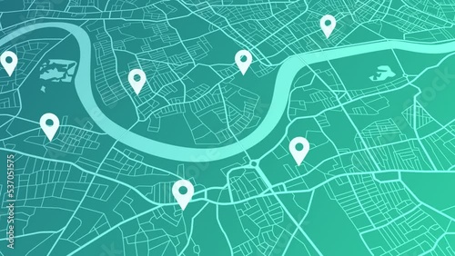
Drone mapping location on city map illustration
geolocation concept for navigation and mapping
Background of the topographic map. Topographic map lines, contour background. Geographic abstract grid. EPS 10 vector illustration.
Check the map
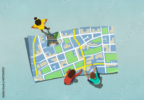
View from above kids looking at large map
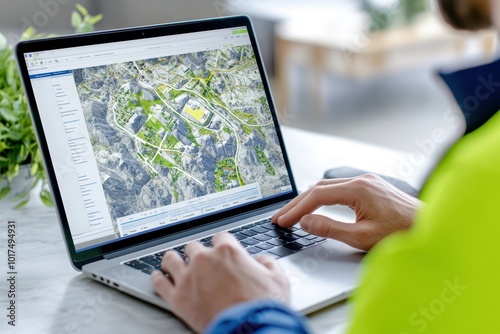
An urban planner using GIS mapping tools to visualize urban growth patterns and development trends.
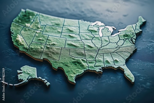
Exploring the topographical map of the United States showcasing varied landscapes and regions of the country
Europe blue map big data visualization. Futuristic map infographic. Information aesthetics. Visual data complexity. Complex europe data graphic visualization. Abstract data on map graph.
Point on smartphone with gps navigator icon and map on blur traffic road abstract background. Generative AI
Find your way. Location marking with a pin on a map with routes. Adventure, discovery, navigation, communication, logistics, geography, transport and travel theme concept background.
Covid-19 virus variant outbreaks, conceptual illustration
Dotted map of Belgium Small
Cityscape Roads Map Design, Illustrative, Transparent Background
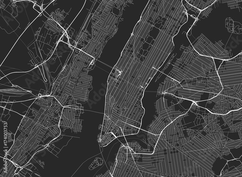
Vector black map of New york
Close-upof finger on city map
Topographic world map with hyper realistic mountains and terrain features. This detailed representation showcases various elevations and landforms across continents, creating visually striking
Street map of town
world map with shapes of regions
Creative Brainstorming Session with Sticky Notes on a Whiteboard for Planning
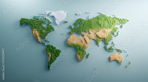
A Lush Green World Map Crafted From Moss, Adorning a Textured Concrete Surface
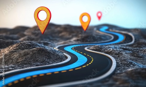
Curved road with blue driving path and location pins over rocky terrain under clear sky
Illuminated world map with city lights showing population density and urbanization at night view from space
Ukraine Map Flag Shaded Relief Color Height Map On Ukraine Flag Colors 3d Illustration
Location pin map marker pointer gps navigation destination symbol icon sign spot pinpointing
Red location marker on map over city background.
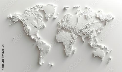
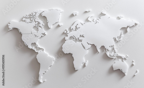
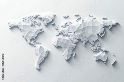
Minimalistic white 3D map of the world on a plain surface, highlighting global themes and clean design aesthetics.
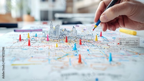
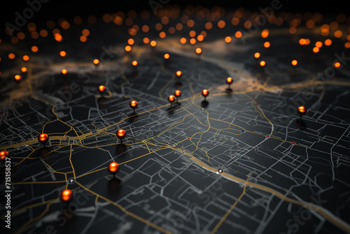
Detailed aerial map view showcasing vibrant red blue and yellow markers with a hand actively using a pen to mark various points of interest for navigation analysis and strategic planning
Location Pin on Digital Map Futuristic Technology and Navigation Concept with Vibrant Colors and Circuitry Details
Traveling man with red map pointer on seashore
Exploring the intersection of technology and navigation the significance of location markers in modern mapping systems
Location icon set. Containing map, map pin, gps, destination, directions, distance, place, navigation and address icons. Solid icons vector collection.
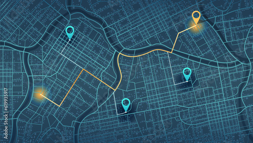
Location tracks dashboard. City street road. City streets and blocks, route distance data, path turns and destination tag or mark. Huge city top view. ector, illustration. Abstract background.
A Smartphone Displaying a Map with Location Pins Highlighting Navigation and Geolocation Technology
Dotted square map of Poland Medium
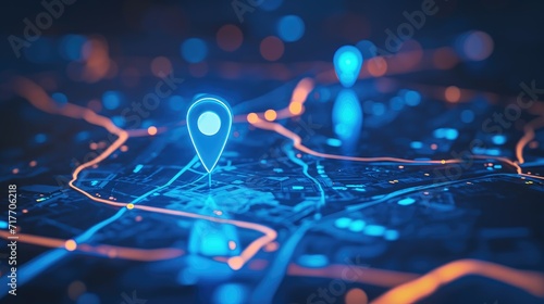
futuristic map pin location AI technology background
Detailed physical political map of Syria
GPS arrow/pin on map for navigation and mapping concept
Glowing Location Icons on Digital Map Background
3D digital illustration of a blue map with red location pins
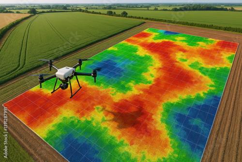
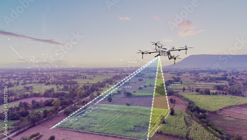
Drone analyzing agricultural field with infrared data mapping for precision farming
Gps pins showing location on digital map of city
Navigational equipment
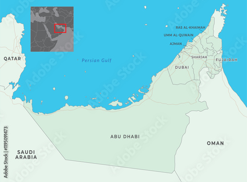
United Arab Emirates map with capital Abu Dhabi, most important cities and national borders
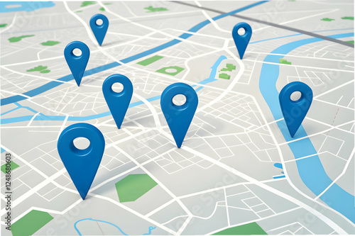
A digital map featuring multiple blue location pins marking various points of interest across a city layout.
Flat icon set of location and map pins
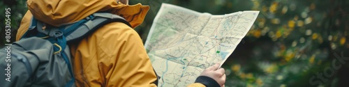
a person looking at map
Aerial view of land with network markers representing land development planning and connectivity.
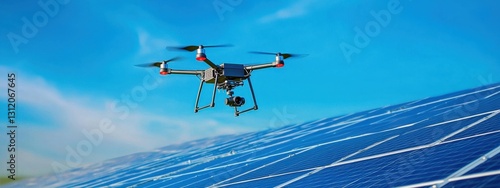
A solar-powered drone mapping unexplored terrains.
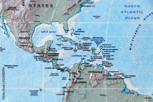
world map of south and north america, with separation of panama canal, latin american countries in focus
GIS product made after processing aerial pictures taken from a drone. AI
Gps vehicle tracking on a map with different locations
A professional analyzes satellite imagery on a laptop, representing geographic information systems, mapping, and remote sensing technology.
A stylized polygonal world map highlights global connectivity and geographic diversity symbolizing international business and strategy
Digital map interface shows glowing location pins on network connections. Futuristic tech navigation system. Glowing blue pins highlight data points. Abstract design. Virtual world exploration
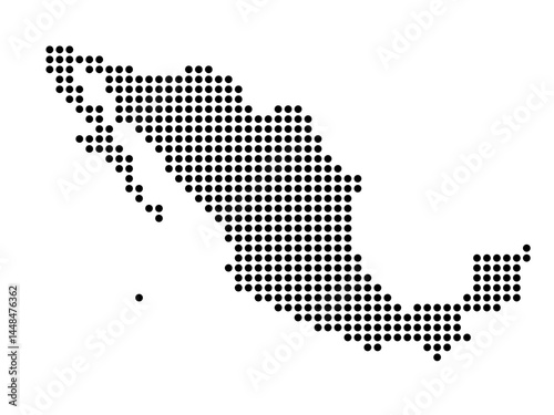
Dotted map of Mexico Small
small business, GPS tracking concept, digital UX/UI, geolocation
Digital mapping of eu network enhancing data and business exchange across western europe
cheerful map pin on colorful map, symbolizing adventure and exploration
A world mapping design where shades gradate. The artwork creates an illusion of curvature, making the map seem almost spherical despite its flat representation.
Event map pin location on a colorful background with various icons and symbols, mapping, iconography
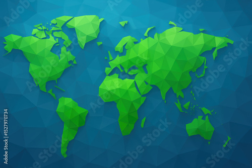
Flat vector illustration of a gray world map on a white background
Map with multiple red location pins. City map shows routes, destinations. GPS technology, route planning concept. Innovation in transport logistics. New address location, pinpoint navigation. Future
Map with route and blue location pins on city map. Blue route on map with location pins
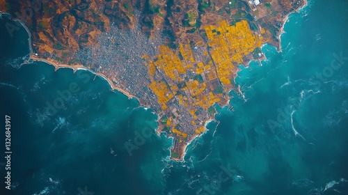
This satellite observation highlights a coastal area with a rich blend of urban landscapes and agricultural fields.
Alaskan bear trail network. Aerial mapping reveals animal highways winding through the forest, showcasing wildlife movement patterns
Destinations. Gps tracking map. Track navigation pins on street maps, navigate mapping technology and locate position pin. Futuristic travel gps map or location navigator vector illustration
topographic map with colored needles pushpins close up
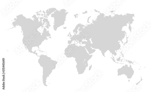
World map on white background. World map template with continents, North and South America, Europe and Asia, Africa and Australia
Two People Looking At City Map
A futuristic concept with a drone scanning the city with blue laser beams, representing surveillance or mapping technology.
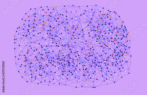
Colorful Web Network on Lilac Background
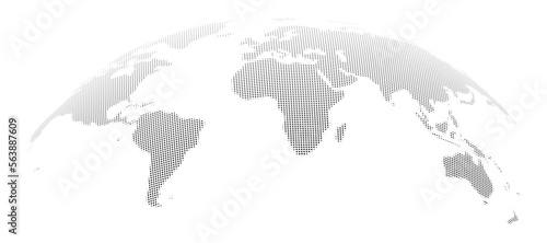
Rounded globe with continents and countries. Isolated world map with grained texture. Traveling and business infographics background. Vector in flat style
Navigation and Path, Concept of Choosing the Right Direction And Move to Goal on Blue Topography Map
A red marker on a map symbolizing location or navigation. Suitable for articles about travel, geolocation and mapping services.
mapping Gradient icon
Dotted map of El Salvador Medium
Explore the Vibrant Lights of Asia at Night A Stunning Satellite View Showcasing Urban Landscapes, Natural Beauty, and Technological Advancement Discover the Contrasting Blend of Dense Cityscapes and
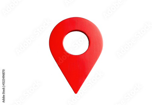
Red location pin icon with circular hole in center, symbolizing navigation and mapping. glossy finish adds modern touch, making it ideal for digital maps and apps
red pin point. map address location pointer symbol
Census of trees in cities - green management and tree mapping concept with imaginary city map with highlighted trees
gps concept for navigation and geolocation mapping
GPS arrow/pin on map for navigation and mapping concept
gps map navigator system animation. route destination 3d city streets. searching direction, track or address. pin location detection. mapping technology and locate position high tech motion background
Smartphone with map and location pin display for navigation purposes
geolocation concept for navigation and mapping
Agriculture drone working with mapping work area