Login
Sign Up
Member Area
Login
Sign Up
English
Afrikaans formal
Afrikaans informal
Arabic
Azerbaijan
Brazilian
Bulgarian
Catalan
Chinese simplified
Chinese traditional
Croatian
Czech
Danish
Dutch
English
Estonian
Finnish
French
Georgian
German
Greek
Hebrew
Hungarian
Icelandic
Indonesian
Italian
Japanese
Latvian
Lithuanian
Malaysian
Norwegian
Persian
Polish
Portuguese
Romanian
Russian
Serbian
Slovakian
Slovenian
Spanish
Swedish
Thai
Turkish
Ukrainian
Vietnamese
Toggle navigation
VideotonStock
Your Shopping Cart is empty.
Files
Stock
Photo
Video
Special offer
Collections
Packages
Lightboxes
Licenses
Royalty free
Rights managed
Creative
Editorial
Items
Most downloaded
Featured
Most popular
New
Free
Categories
Browse categories
Site info
Site info
About
Support
Privacy Policy
Privacy Policy
FAQ
Contact Us
Contact Us
Terms and Conditions
Buyer Agreement
Seller Agreement
Customers
Users
Credits
Photographers
Boby Richards
0
Boby Richards
0
Videoton1
286
Search
Keywords:
Creator ID:
Type:
Photo
Illustration
Vector
Video
Template
3d
Categories:
Animals
Buildings and Architecture
Business
Drinks
The Environment
States of Mind
Food
Graphic Resources
Hobbies and Leisure
Industry
Landscapes
Lifestyle
People
Plants and Flowers
Culture and Religion
Science
Social Issues
Sports
Technology
Transport
Travel
News
Entertainment
Sport News
Languages:
Brazilan Portuguese - Brazil
English - Canada
French - Canada
Spanish - Mexico
English - United States
English - Belgium
French - Belgium
Dutch - Belgium
Czech - Czech Republic
English - Cyprus
Danish - Danmark
German - Germany
English - Estonia
Spanish - Spain
French - France
French - Marocco
English - Greece
English - Ireland
Italian - Italia
English - Latvia
English - Lithuania
German - Luxembourg
English - Luxembourg
French - Luxembourg
English - Hungary
English - Malta
Dutch - Nederlands
Bokmal Norwegian - Norway
German - Austria
Polish - Poland
Portuguese - Portugal
English - Romania
German - Switzerland
English - Slovenia
Slovakian - Slovakia
French - Switzerland
English - Finland
Swedish- Sweden
Italian - Switzerland
English - United Kingdom
English - Bulgaria
English - Australia
Japanese - Japan
Korean - South Korea
English - New Zealand
Russian - Russia
English - Ukrain
English - Thailand
Orientation:
All
Horizontal
Vertical
square
Color:
Model property release:
All
Yes
No
Duration Video:
All
Up to 10 seconds
Up to 20 seconds
Longer than 30 seconds
Results
(0)
Site
Getty/iStock
Bigstockphoto
Pixabay
Adobe Stock
Relevance
New
Most popular
Most downloaded
Undiscovered
12
24
36
48
96
Auto paging
Menu
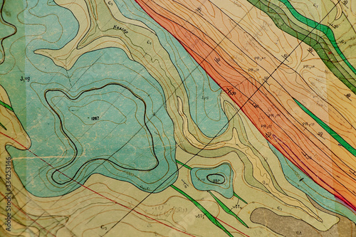
geological map as a background close-up in green colors
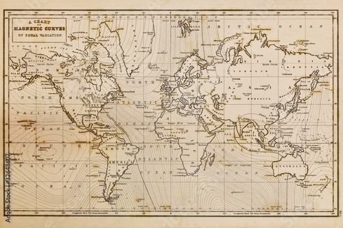
Antique world map background with aged parchment texture and vintage cartography details
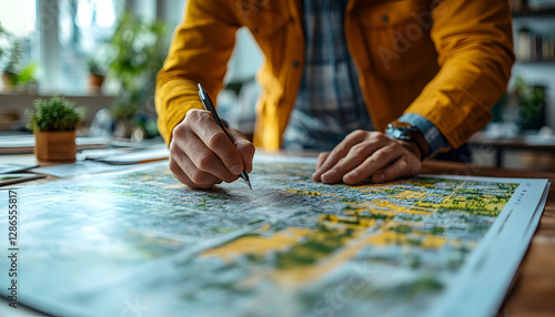
Cropped image of woman's hand pointing on mark on cartography planning adventure route on journey, top view of map of country checking direction and location for explore during travel vacation.
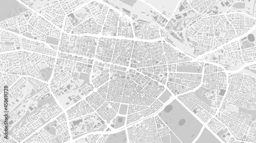
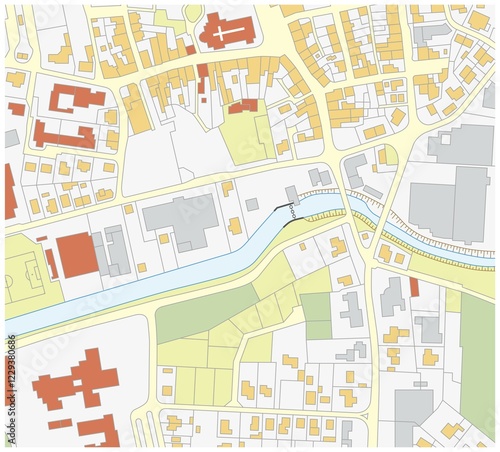
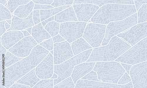
White and light grey Sofia City area vector background map, streets and water cartography illustration.
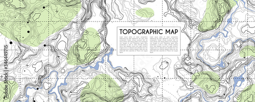
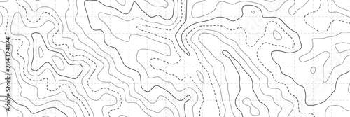
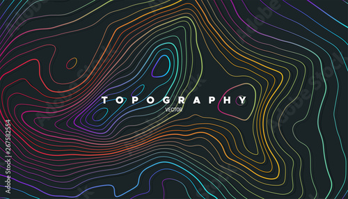
Colorful topographic map with contour lines. Geographic terrain grid, relief height elevation. Ground path pattern. Travel and navigation, cartography design element. Vector illustration
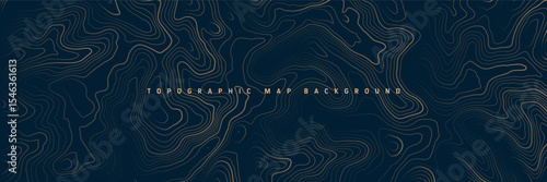
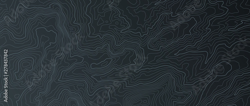
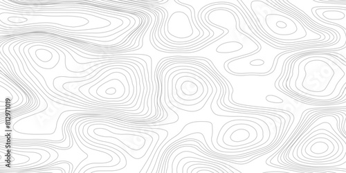
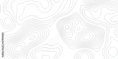
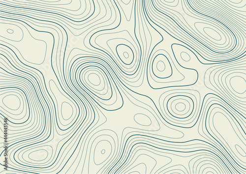
Abstract topographic map background. Topo backdrop lines, contour, geographic grid
Cadastre Land Development Map,
Old hand drawn vintage world map
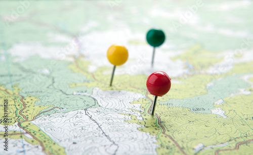
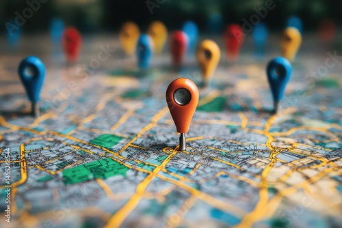
Red location pin on city map gps navigation destination travel route planning and finding direction
Topographic map. Topographical background. Linear graphics. Vector illustration.
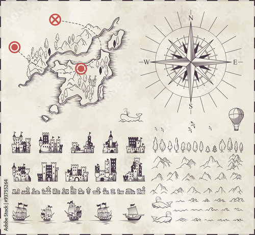
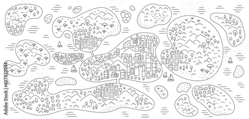
A quest map featuring treasure island and pirate symbols. Outdoor camping games with children. Treasure hunt.
topographic map with colored needles pushpins close up
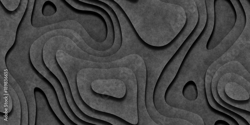
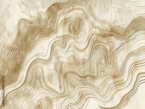
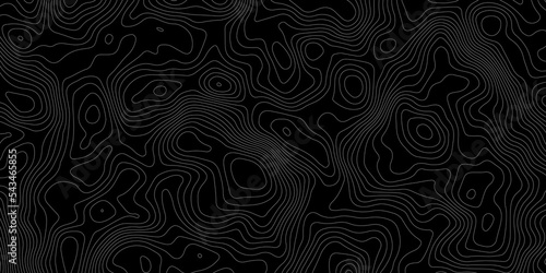
Gray Seamless Topographic Landscape Background. Wavy Relief Illustration Texture.
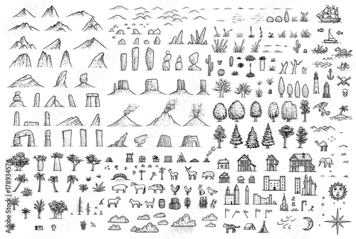
Fantasy map elements illustration, drawing, engraving, ink, line art, vector
Set in medieval cartography
Find your way. Location marking with a pin on a map with routes. Adventure, discovery, navigation, communication, logistics, geography, transport and travel theme concept background.
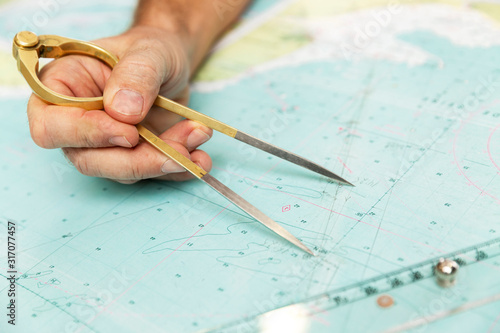
The captain measures the distance on the map with a compass. Close-up.
Hand writing on antique treasure map with quill pen
Terrain map. Contours trails, image grid geographic relief topographic contour line maps cartography texture, vector illustration
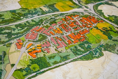
Geofencing technology. A stylized, miniature city model with a large geo pin prominently placed. The use of geofencing in urban areas for marketing, security, and
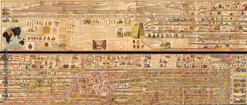
1878, Adams Monumental Illustrated Panorama of History
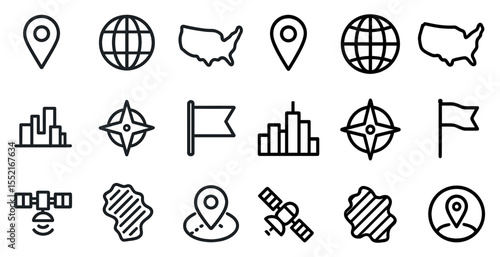
Global navigation icons set – outline, linear, map and location symbols
Geography background
White and light grey Birmingham city area vector background map, streets and water cartography illustration.
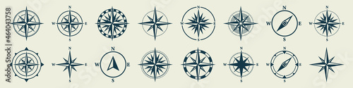
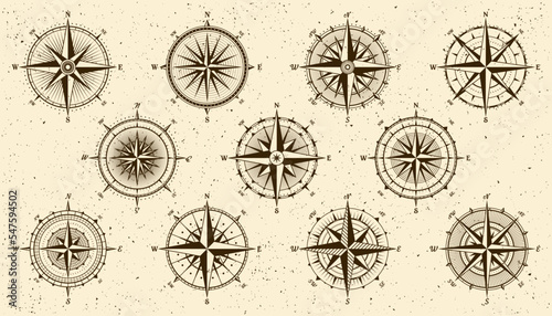
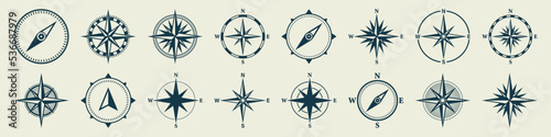
Vintage marine wind rose, nautical chart. Monochrome navigational compass with cardinal directions of North, East, South, West. Geographical position, cartography and navigation. Vector illustration.
Aged world map parchment background
Topographic Map
Close-up view of a traveler's hand placing yellow pushpins on a map, marking various locations for an upcoming journey while crafting a personalized itinerary for adventure
Antique compass on an ancient world map, highlighting a mesmerizing sunset over the vast ocean
Aerial top view, earth landscape, satellite
Black line art illustration of a compass and seven pointed star isolated on white
Vector abstract landscape geodesy topography map background. Art Line texture pattern.
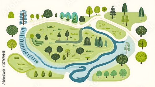
Park map trees with river, and landscape.
Detailed Map Under Plotting on Cartographer’s Table Featuring Geographic Survey Tools and Precise Topographic Annotations
Topographic contour map. similar cartography illustration.
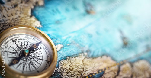
Magnetic compass on world map.Travel, geography, navigation, tourism and exploration concept background. Macro photo. Very shallow focus.
"Minimalist Transparent PNG Map Featuring Fluid Wavy Topographic Line Patterns on a Clean White Background, Ideal for Cutting-Edge Design, Professional Geospatial Mapping, and Visual Projects"
cartography icons set
Location Marker on a Winding Asphalt Road with Other Markers in the Background
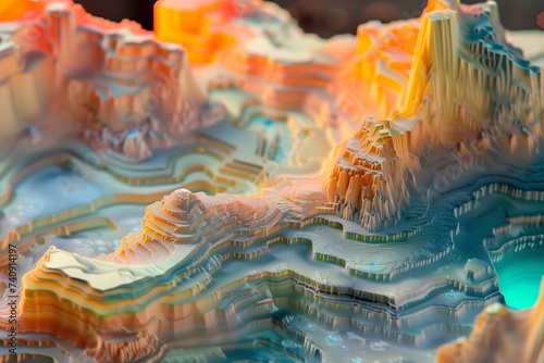
a colorful illuminated resin miniature topographical map of a desert environment
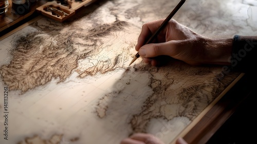
A cartographer sketching a detailed map by hand. Featuring delicate line work and old-world charm
Abstract pattern with lines. Abstract sea map geographic contour map and topographic contours map background. Abstract white pattern topography vector background. Topographic line map background.
Fantasy medieval cartography map elements, vector, drawing symbols, illustration
Surveyor measuring land in forested area during late afternoon light with modern instrument setup
Vintage marine wind rose, nautical chart. Monochrome navigational compass with cardinal directions of North, East, South, West. Geographical position, cartography and navigation. Vector illustration.
white landscape with mountains and hills
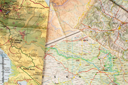
A map printed on a piece of paper
Imaginary cadastral map of an area with buildings and streets
Collection of antique globes showing geographic maps, world exploration and cartography in a vintage style.
Photo - Urban Planning Map Review Design Strategy Development
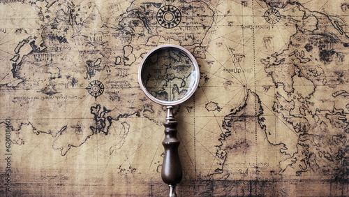
Magnifying glass and an ancient old map,Old map with an magnifying glass,Top view of glasses and world map
Vintage topographic map abstraction in sepia and cream tones with intricate contour lines, featuring distressed paper texture for antique cartography aesthetics, ideal for historical GIS projects
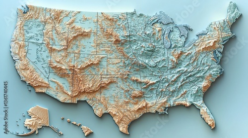
Detailed topographic map of the united states highlighting elevation changes and geographic features for study
Strategic pinpoint location on asphalt road, evoking travel, navigation and urban exploration within a modern cityscape context
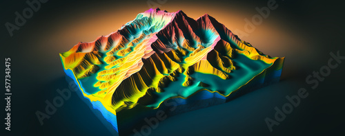
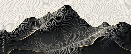
3D Topographic height map, geology survey. Topographic cartography Generative AI
Digital Terrain Map of Forested Mountain Range with GPS and Drone Data Overlays
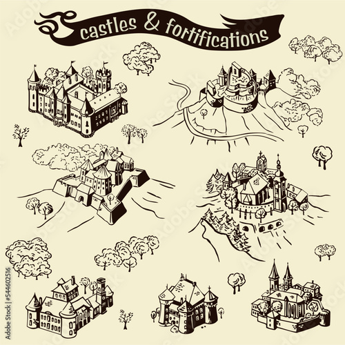
Line art draw simple illustrations with castles and fortifications
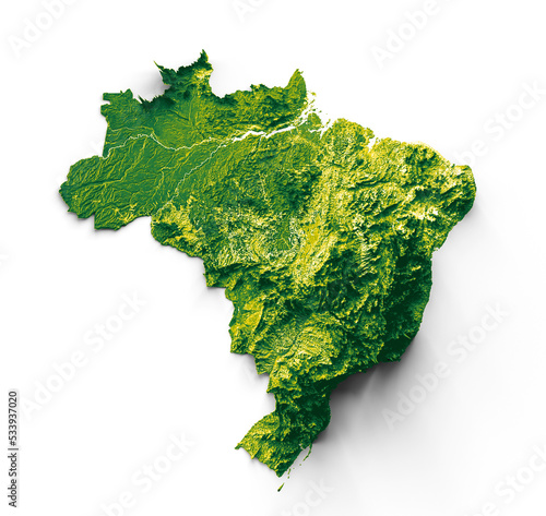
Brazil map with the flag Colors Red and yellow Shaded relief map 3d illustration
Colorful location pins displayed. Navigation icons, mapping, destination, location, cartography
Historical Map: A yellowed historical map is rolled up in an old scroll. Worn-out details on its surface carry the traces of the past
Geography tools including a compass and map High quality images
Vector abstract landscape geodesy topography map background. Art Line texture pattern.
GIS specialist using a tablet with a digital interface overlay showing geospatial data, satellite imagery, technology graphs location analysis, mapping trends, spatial patterns, geographic mapping
A detailed close-up view of a world map showing countries, continents, oceans, and major cities.
Vintage marine wind rose, nautical chart. Monochrome navigational compass with cardinal directions of North, East, South, West. Geographical position, cartography and navigation. Vector illustration.
Man sketching old-world map surrounded by antique tools
Geospatial GIS product provides visualization of urban areas with road networks created by generative ai.
Contour abstract map relief land outline. Topographic map patterns. White wave paper curved reliefs abstract background. Background of the topography map. Abstract pattern with lines.
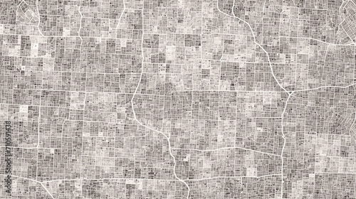
City map seamless pattern, town plan with streets and roads, vector background. City map pattern or abstract urban cartography background with road and street crossroad lines grid in top view
City on the island map. Editable outline sketch. Vector line illustration.
Developer Looking At Land Plot Map And Cadastre Plan
The photo idea is to capture a worker, architect, and engineer collaborating on a real estate construction project, using cartography and cadastral maps to guide the development of a city.
Topographic map background gray shaded relief textured geographic line map with modern design, minimal lines landscape with topographic contour lines abstract monochrome grid map seamless pattern.
Colorful map pins highlight locations on city map
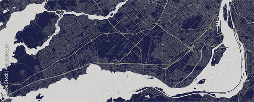
vector map of the city of Montreal , Canada
A vintage treasure map is spread out on a wooden table, with an antique compass and old navigational tools placed strategically
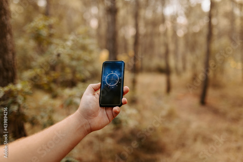
Anonymous person using smartphone app to look at compass
Vintage Geographical Map with Adventurous Exploration Tools
The survey team is using a theodolite and road construction plans. Civil engineers are measuring with surveying tools during the construction.
Background of the topographic map. Elevation contouring outline cartography texture. Geographic abstract grid. Futuristic wireframe landscape background. black and white seamless pattern
Flat vector illustration of cartography tools on a map compass pencil
Topographic Design Pattern with Seamless Lines Representing Area Spaces and Grid Layouts on a Modern Geometric Map
Fantasy map symbols for creating imaginative cartography line illustrations outlines 2D designs featuring mountains trees and mythical creatures
Navigational Contours: Abstract Geospatial Art, Upscaled High-Resolution Vector Graphic for Mapping, Cartography, GIS, GPS, Location Technology, Earth Science, Global Positioning, Geographic
Topographic background and texture, monochrome image. 3D waves. Cartography Background, topographic multicolored linear background for design, abstraction with place for text.
Vintage marine wind rose, nautical chart. Monochrome navigational compass with cardinal directions of North, East, South, West. Geographical position, cartography and navigation. Vector illustration.
Antique-style world map with color-coded regions, detailed coastlines, and compass rose
Abstract background with a contour topography landscape design
Topography relief. Abstract background. Vector illustration. Outline cartography landscape. Modern poster design. Trendy cover with wavy colorful lines
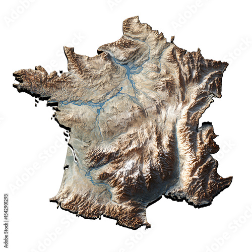
3D Topographic Map of France Showing Rivers and Mountains
Monochrome Topographic Map of a Mountainous Landscape, with River and Compass Rose, on a White Background, Detailed Illustration.
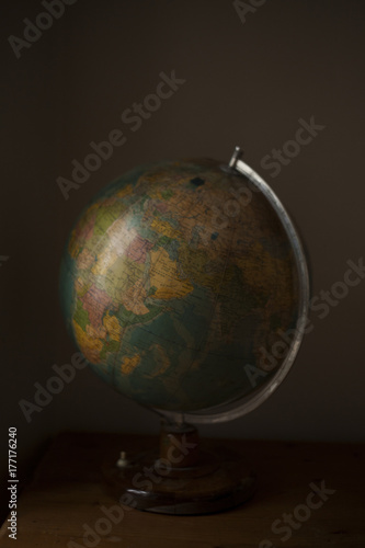
View of globe on desk
Terrain map. Contours trails, image grid geographic relief topographic contour line maps cartography texture, vector illustration
Abstract fictional city map. Monochrome city map with road network
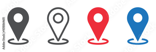
Set of location pin icons. Map marker pointer symbols, GPS location. Navigation map, location navigation icon, geo location point. Vector.
Topographic contour map. Vector cartography illustration. Topography and geography map grid abstract backdrop. Business concept. Fish Fillet Texture, Salmon fillet texture, fish pattern. paper texture
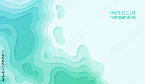
Paper cut topography relief imitation, blue and green colors multi layers banner. Abstract water flowing liquid texture art design, origami paper cut layer smooth shape vector illustration
3D city map with colorful routes on it
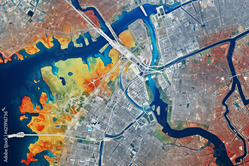
Close-up view of a textured world map highlighting geographical topography and regions in vivid colors, emphasizing physical features
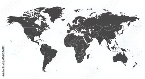
Dark Gray World Map on White Background Showing Continents