Login
Sign Up
Member Area
Login
Sign Up
English
Afrikaans formal
Afrikaans informal
Arabic
Azerbaijan
Brazilian
Bulgarian
Catalan
Chinese simplified
Chinese traditional
Croatian
Czech
Danish
Dutch
English
Estonian
Finnish
French
Georgian
German
Greek
Hebrew
Hungarian
Icelandic
Indonesian
Italian
Japanese
Latvian
Lithuanian
Malaysian
Norwegian
Persian
Polish
Portuguese
Romanian
Russian
Serbian
Slovakian
Slovenian
Spanish
Swedish
Thai
Turkish
Ukrainian
Vietnamese
Toggle navigation
VideotonStock
Your Shopping Cart is empty.
Files
Stock
Photo
Video
Special offer
Collections
Packages
Lightboxes
Licenses
Royalty free
Rights managed
Creative
Editorial
Items
Most downloaded
Featured
Most popular
New
Free
Categories
Browse categories
Site info
Site info
About
Support
Privacy Policy
Privacy Policy
FAQ
Contact Us
Contact Us
Terms and Conditions
Buyer Agreement
Seller Agreement
Customers
Users
Credits
Photographers
Boby Richards
0
Boby Richards
0
Videoton1
286
Search
Keywords:
Creator ID:
Type:
Photo
Illustration
Vector
Video
Template
3d
Categories:
Animals
Buildings and Architecture
Business
Drinks
The Environment
States of Mind
Food
Graphic Resources
Hobbies and Leisure
Industry
Landscapes
Lifestyle
People
Plants and Flowers
Culture and Religion
Science
Social Issues
Sports
Technology
Transport
Travel
News
Entertainment
Sport News
Languages:
Brazilan Portuguese - Brazil
English - Canada
French - Canada
Spanish - Mexico
English - United States
English - Belgium
French - Belgium
Dutch - Belgium
Czech - Czech Republic
English - Cyprus
Danish - Danmark
German - Germany
English - Estonia
Spanish - Spain
French - France
French - Marocco
English - Greece
English - Ireland
Italian - Italia
English - Latvia
English - Lithuania
German - Luxembourg
English - Luxembourg
French - Luxembourg
English - Hungary
English - Malta
Dutch - Nederlands
Bokmal Norwegian - Norway
German - Austria
Polish - Poland
Portuguese - Portugal
English - Romania
German - Switzerland
English - Slovenia
Slovakian - Slovakia
French - Switzerland
English - Finland
Swedish- Sweden
Italian - Switzerland
English - United Kingdom
English - Bulgaria
English - Australia
Japanese - Japan
Korean - South Korea
English - New Zealand
Russian - Russia
English - Ukrain
English - Thailand
Orientation:
All
Horizontal
Vertical
square
Color:
Model property release:
All
Yes
No
Duration Video:
All
Up to 10 seconds
Up to 20 seconds
Longer than 30 seconds
Results
(0)
Site
Getty/iStock
Bigstockphoto
Pixabay
Adobe Stock
Relevance
New
Most popular
Most downloaded
Undiscovered
12
24
36
48
96
Auto paging
Menu
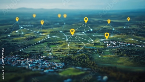
Rural Area Connected by Network Markers
Determined male hiker examining geographical charts in a mountainous landscape
cloud security with encryption and automation. Geo-Aware Encryption Automation Dynamically encrypting data based on its geographical location to meet residency requirements
The illustration of geographical or naturalistic objects composition
sand dune horizons hold great geological and geographical importance as they represent diverse environments and ecosystems that lie beyond what is immediately visible, evoking a sense of curiosity and
Exploring geographical data analysis digital workspace interactive map technology detailed view mapping concepts
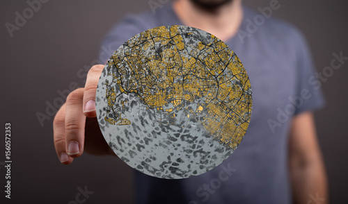
A man holds a circular map of a city, showcasing urban sprawl and geographical features.
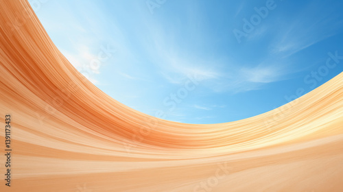
Expansive desert landscape under a bright blue sky showcasing sandstone erosion and natural geographical features
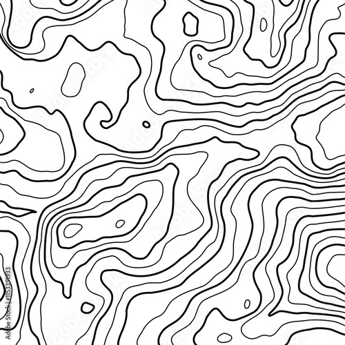
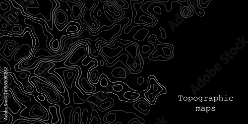
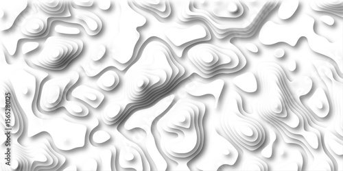
Topographic map background geographic line map with elevation assignments. Modern design with White background with topographic wavy pattern design. paper texture Imitation of a geographical map
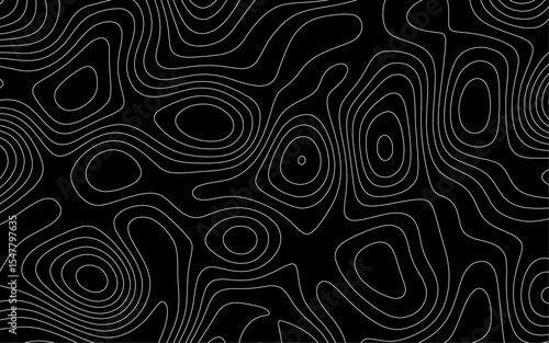
This intricate, abstract black layered topographic structure creates a mesmerizing artistic interpretation of geographical formations, perfect for imaginative backgrounds
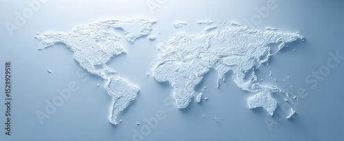
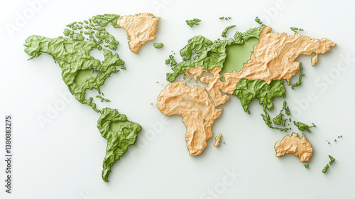
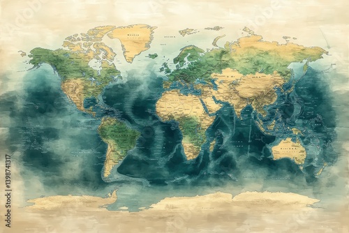
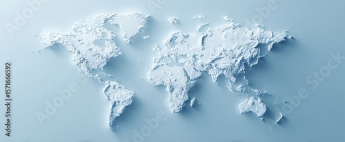
The textured world map showcasing detailed geographical relief in a minimalist design.
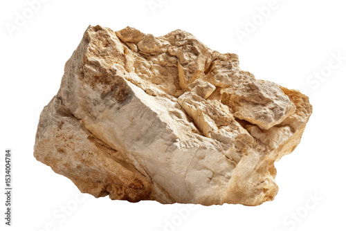
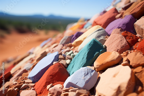
Geology in nature rock close-up
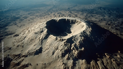
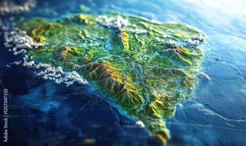
Aerial view of a geographical formation.
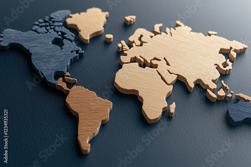
World Map Cutout on Wooden Texture Background world map wooden background map cutout geographical
An AI powered system enhancing natural disaster prediction by analyzing real time seismic data, weather patterns, and geographical shifts for accurate forecasting
Exploring digital map on tablet, showcasing geographical details and locations
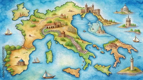
Detailed drawing of an Italian map with iconic landmarks and geographical features, travel
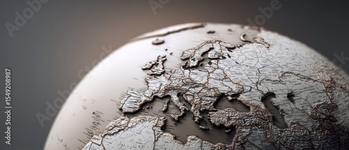
The intricately detailed globe showcasing Europe and its geographical features.
A person with short hair wearing glasses studies old maps spread across a table, engrossed in geographical exploration.
An AI powered system automating climate monitoring by analyzing real time environmental data, emissions levels, and geographical factors for accurate forecasting
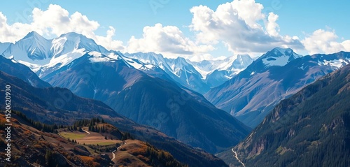
Majestic peaks, snow-capped summits, lush valley below, environment, geographical
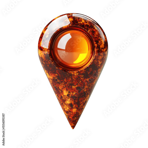
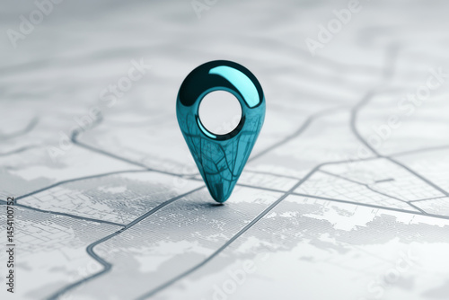
Glossy orange location pin marking precise point on transparent surface, indicating geographical position for digital navigation platforms.
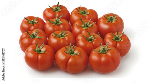
Overhead shot showing loosely scattered red tomatoes artistically positioned to mimic Spain’s geographical shape on a plain background
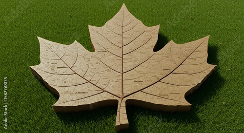
Intricate leaf map design rests on vibrant green grass, showcasing a detailed geographical layout.
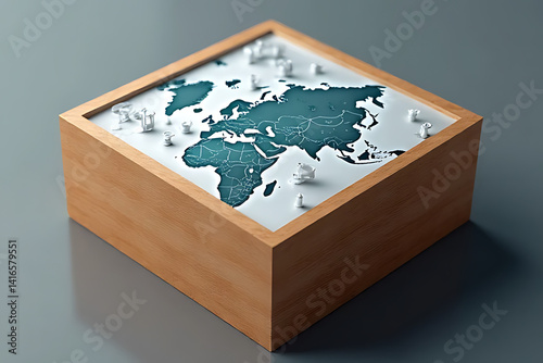
Global map model displaying geographical features modern workspace 3d art minimalist design
geographical and ecological significance of sand dunes lies in their role in protecting coastlines, supporting desert ecosystems, and representing dynamic nature of sand
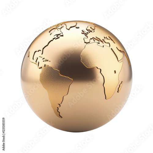
Golden globe representing world continents in relief
sand dune horizons hold great geological and geographical importance as they represent diverse environments and ecosystems that lie beyond what is immediately visible, evoking a sense of curiosity and
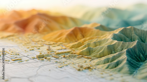
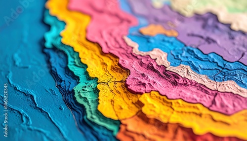
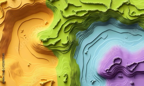
A detailed topographic map with vibrant, textured hills and valleys, highlighting miniature 3D buildings in a realistic geographical layout.
PNG Earth with detailed geographical features
gps geographical navigaton icon sign vector
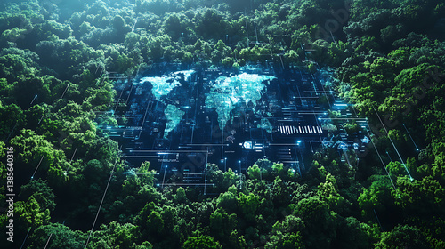
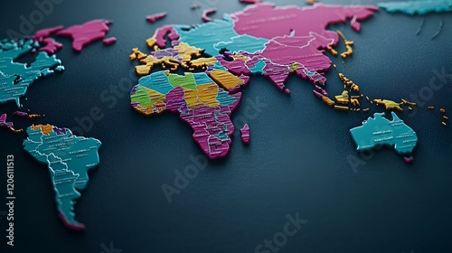
A comprehensive world map displaying geographical features and global connections for future technology and development
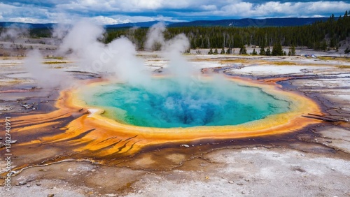
Spectacular geographical feature in Yellowstone National Park. Famous for its boiling water, steam vents and geysers.
Map creatively designed from weather data that showcases geographical features and time zones in an artistic manner
Giraffa camelopardalis tippelskirchi, a species of giraffe, are found standing in the East African savannah, with Kenya and Tanzania being part of their geographical range
Young handsome looking woman tasting white wine and writing notes to degustation card. Professional sommelier studies wine on lecture about varieties and geographical wine.
sand dune horizons hold great geological and geographical importance as they represent diverse environments and ecosystems that lie beyond what is immediately visible, evoking a sense of curiosity and
Connected data storage with geographical background
Exploration of intricate topographic maps showcasing contour lines and geographical features in a creative representation of terrain
A photorealistic depiction of a terrestrial sphere, exhibiting varied geographical features
Vibrant Atlas Map, an intricately designed map showcasing bright colors and clear geographical details, inviting exploration and discovery.
Surreal Environmental Warning, detailed world map showcasing landforms green and orange hues, emphasizing geographical features
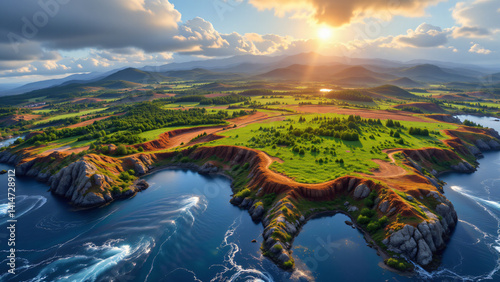
A stunning view of a mountain landscape with vibrant colors. This geographical feature showcases an array of red, blue, green and yellow hues on the hills, making it an attractive destination for
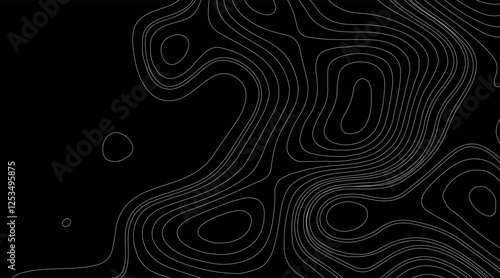
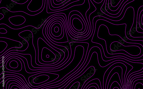
Abstract topographic map background concept. Topo contour map. Rendering abstract illustration. .Imitation of a geographical map .
A colorful, textured map showcasing various landforms and elevations, highlighting geographical features in vibrant hues
World map showcasing minimalistic design with geographical details and earthy tones
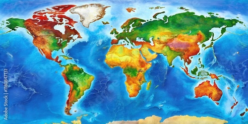
A colorful map of the world with diverse geographical features and oceanic boundaries , globe, oceans
A light-colored piece on a cracked, geographical surface.
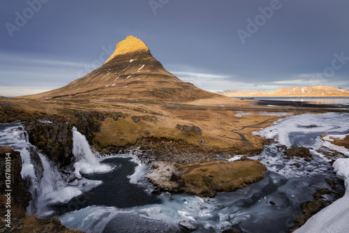
Kirkjufell mountain, Snaefellsnes Peninsula
High-resolution satellite map showcasing the geographical layout of South Korea.
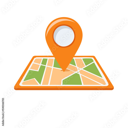
Location map with pin marker in flat design style illustration showing city streets and geographical points for maps or direction services
A folded world map displaying continents, countries, and geographical details in vibrant colors. cut out. transparent background
Abstract Wave line topography map background. topographic map of the terrain as contour. Seamless pattern. Background for geographical map. Vector illustration.
Exploration journey of a toy car with a globe travel environment fun concept geographical viewpoint
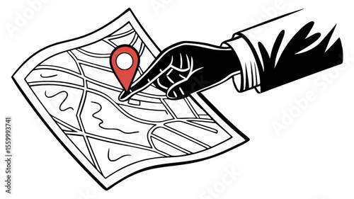
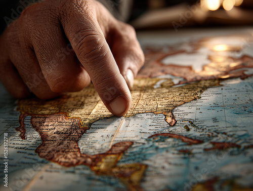
Hand points to a location on a detailed map using a marker, indicating travel planning or geographical focus, transparent background
Outline of Grenada featuring its geographical shape
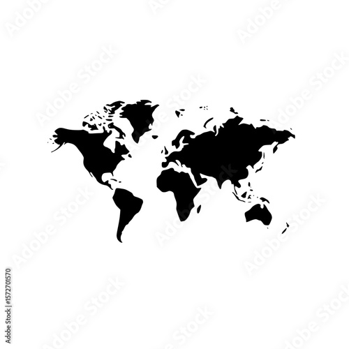
Global map silhouette for geographical representation in vector format
Topographic map with geographical coordinates, roads, terrain contours and marked locations
Vintage wooden map with detailed geographical features and artistic design.
The textured world map showcasing intricate geographical features in white design.
A geographical region under observation, its landmass reflecting seasonal changes and the influence of atmospheric conditions.
world map bursts with a kaleidoscope of intricate details and patterns, unveiling rich tapestry of geographical information and captivating narratives from diverse regions and populations
wooden world map with segmented continents on dark surface symbolizes global connections and diversity. map texture and design highlight geographical boundaries and cultural diversity
Hand painted North America map detail showing geographical features,
Nature force compressed prominent cracked rock layers structure formation details, in various shapes, colors, thicknesses, at south central coast of Crete, Greece. Nature Geological science concept.
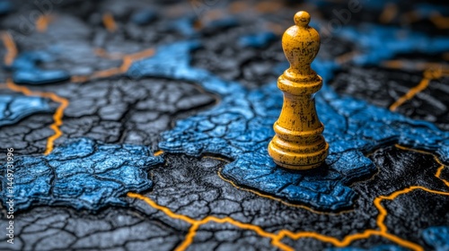
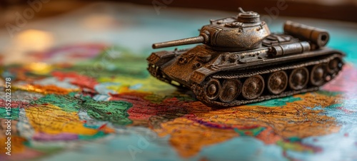
The tank model positioned on a colorful geographical map showcasing historical territories.
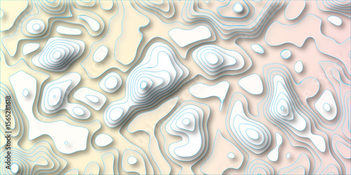
3D Papercut Stylized White topographic contour scheme and terrain. Abstract lines background paper texture Imitation of a geographical map shades beautiful white color palette colors, waves and layers
A detailed 3D rendering of Planet Earth, showcasing geographical features
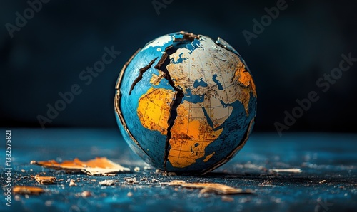
Cracked globe highlights division and conflict driven by tariffs and sanctions, contrasting vibrant colors with dark surroundings
Vintage Toronto city map, aerial view, showing streets, waterways, and parks; ideal for historical or geographical contexts
World geography made from stamps around the globe, geographical composition
Vibrant Terrain Map, intricately designed to showcase colorful elevation changes, highlighting geographical features and topographical details.
Abstract Wave line topography map background. topographic map of the terrain as contour. Seamless pattern. Background for geographical map. Vector illustration.
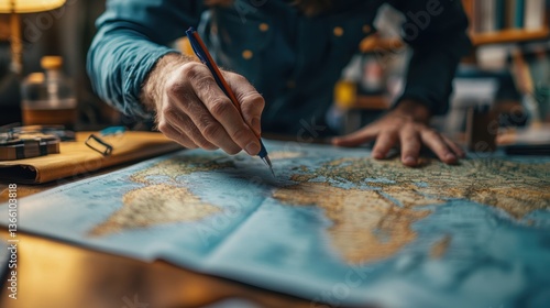
close up of person hand pointing to specific location on vintage map, showcasing intricate details and geographical features. scene evokes sense of exploration and discovery
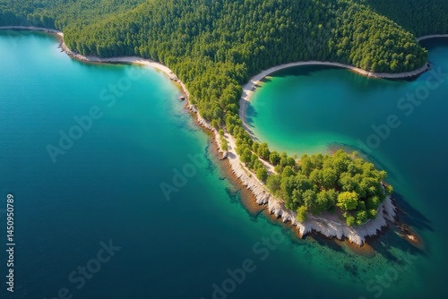
Island terrain, lush vegetation, rivers, mountains, ocean, aerial view, geographical map, tourism, travel
Abstract aerial view of a lake's shoreline, revealing a unique geographical pattern , ripples, reflection, abstract
An AI powered system enhancing natural disaster prediction by analyzing real time seismic data, weather patterns, and geographical shifts for accurate forecasting
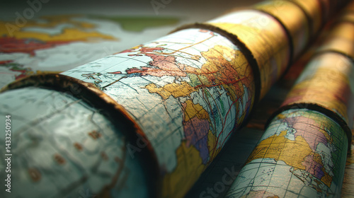
close up view of rolled maps showcasing detailed geographical features and vibrant colors, evoking sense of exploration
Topographic map for geographical use.
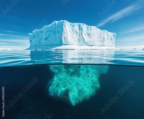
Iceberg floats majestically in calm waters revealing vibrant blue hues beneath the surface in a serene arctic landscape
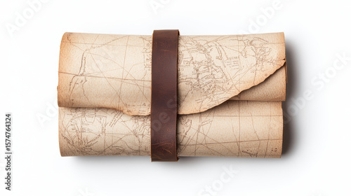
A rolled vintage map secured with a brown leather strap, showing old geographical details on aged paper.
Topographic map mountain landscape terrain model geographical elevation layers art
Map with pushpins showing destinations
Intricate relief map of Africa showcasing a blend of gold and blue textures highlighting the continent's geographical features
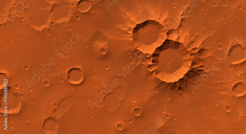
Aerial Martian Landscape View of Red Planet Surface Craters Plains and Rocky Terrain Geology Formation
Map showcasing geographical features of Fiji Islands
3D Papercut Stylized White topographic contour scheme and terrain. Abstract lines background paper texture Imitation of a geographical map shades beautiful white color palette colors, waves and layers
Abstract topographic map background concept. Topo contour map. Rendering abstract illustration. .Imitation of a geographical map .
A cartographer designing a world map, using digital tools and geographical data for accurate landmasses and coordinates
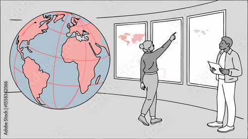
Two people discussing world maps and globe in a room with geographical representations shown on the wall
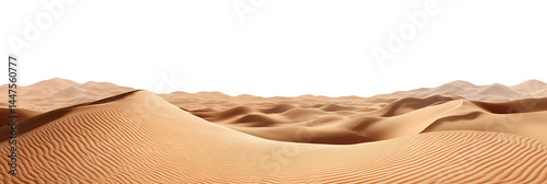
Wide sandy desert landscape isolated on transparent background cutout png
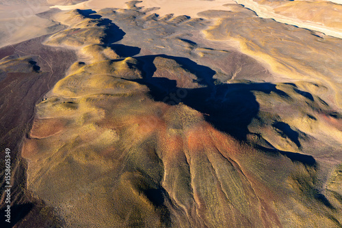
Aerial view of volcanic highlands in La Puna, Argentina
A detailed representation of global business growth analysis highlighting an upward trend over a geographical map. The visual emphasizes market expansion and progress
detailed digital illustration of globe showcasing continents and oceans, emphasizing geographical features and textures
A modern map pin icon placed on a detailed geographical map shows location tracking.
Mountainous terrain model studio 3d render desert environment aerial view geographical concept
Abstract aerial view of a lake's shoreline, revealing a unique geographical pattern , satellite, reflection
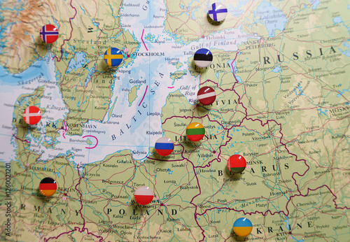
A close-up of a map focused on the Baltic Sea region, Eastern Europe, Scandinavia, with pushpins marking various locations and national flags indicating the countries.
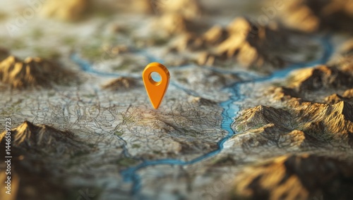
Detailed map with orange marker pinpointing a location
The edge of the world displays a scattering of faint, golden illumination highlighting rugged terrain and barely visible geographical features still cloaked in darkness