Login
Sign Up
Member Area
Login
Sign Up
English
Afrikaans formal
Afrikaans informal
Arabic
Azerbaijan
Brazilian
Bulgarian
Catalan
Chinese simplified
Chinese traditional
Croatian
Czech
Danish
Dutch
English
Estonian
Finnish
French
Georgian
German
Greek
Hebrew
Hungarian
Icelandic
Indonesian
Italian
Japanese
Latvian
Lithuanian
Malaysian
Norwegian
Persian
Polish
Portuguese
Romanian
Russian
Serbian
Slovakian
Slovenian
Spanish
Swedish
Thai
Turkish
Ukrainian
Vietnamese
Toggle navigation
VideotonStock
Your Shopping Cart is empty.
Files
Stock
Photo
Video
Special offer
Collections
Packages
Lightboxes
Licenses
Royalty free
Rights managed
Creative
Editorial
Items
Most downloaded
Featured
Most popular
New
Free
Categories
Browse categories
Site info
Site info
About
Support
Privacy Policy
Privacy Policy
FAQ
Contact Us
Contact Us
Terms and Conditions
Buyer Agreement
Seller Agreement
Customers
Users
Credits
Photographers
Boby Richards
0
Boby Richards
0
Videoton1
286
Search
Keywords:
Creator ID:
Type:
Photo
Illustration
Vector
Video
Template
3d
Categories:
Animals
Buildings and Architecture
Business
Drinks
The Environment
States of Mind
Food
Graphic Resources
Hobbies and Leisure
Industry
Landscapes
Lifestyle
People
Plants and Flowers
Culture and Religion
Science
Social Issues
Sports
Technology
Transport
Travel
News
Entertainment
Sport News
Languages:
Brazilan Portuguese - Brazil
English - Canada
French - Canada
Spanish - Mexico
English - United States
English - Belgium
French - Belgium
Dutch - Belgium
Czech - Czech Republic
English - Cyprus
Danish - Danmark
German - Germany
English - Estonia
Spanish - Spain
French - France
French - Marocco
English - Greece
English - Ireland
Italian - Italia
English - Latvia
English - Lithuania
German - Luxembourg
English - Luxembourg
French - Luxembourg
English - Hungary
English - Malta
Dutch - Nederlands
Bokmal Norwegian - Norway
German - Austria
Polish - Poland
Portuguese - Portugal
English - Romania
German - Switzerland
English - Slovenia
Slovakian - Slovakia
French - Switzerland
English - Finland
Swedish- Sweden
Italian - Switzerland
English - United Kingdom
English - Bulgaria
English - Australia
Japanese - Japan
Korean - South Korea
English - New Zealand
Russian - Russia
English - Ukrain
English - Thailand
Orientation:
All
Horizontal
Vertical
square
Color:
Model property release:
All
Yes
No
Duration Video:
All
Up to 10 seconds
Up to 20 seconds
Longer than 30 seconds
Results
(0)
Site
Getty/iStock
Bigstockphoto
Pixabay
Adobe Stock
Relevance
New
Most popular
Most downloaded
Undiscovered
12
24
36
48
96
Auto paging
Menu
Historic buildings in Wellington New South Wales
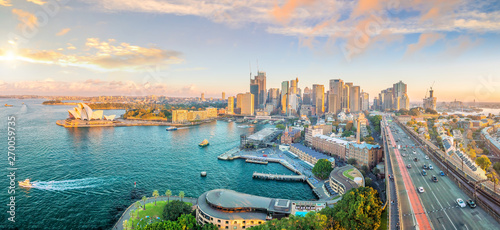
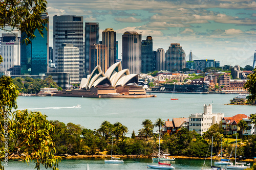
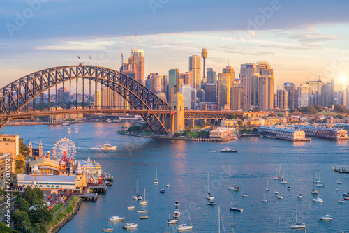
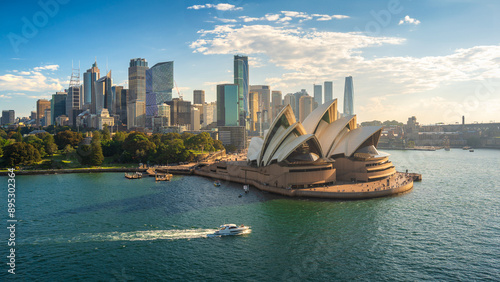
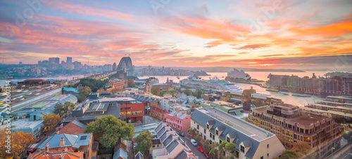
Downtown Sydney skyline in Australia
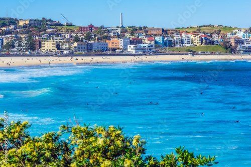
Australia, New South Wales, Sydney, Bondi Beach
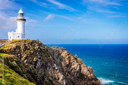
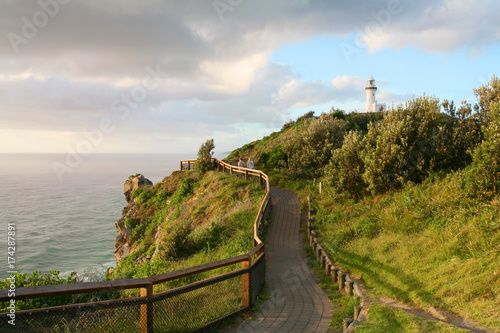
Cape Byron Lighthouse, Byron Bay, Australia
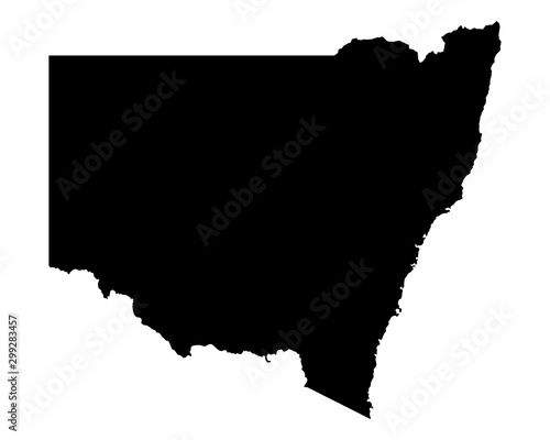
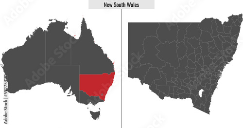
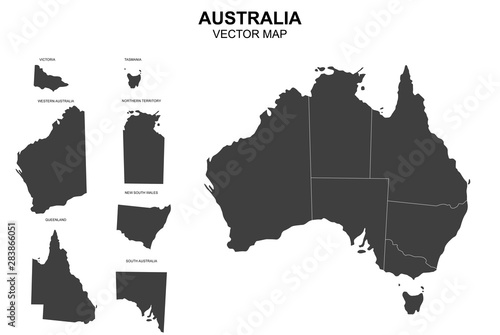
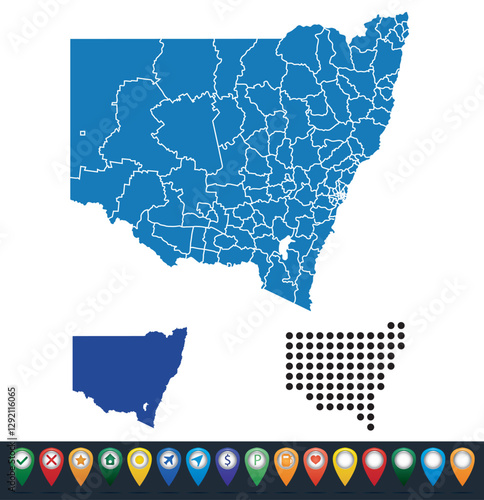
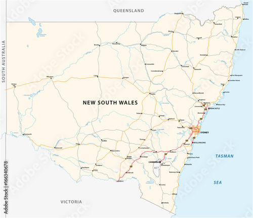
Karte von New South Wales
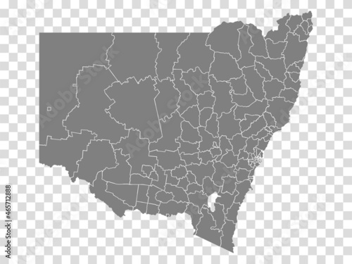
State of New South Wales map on transparent background. Blank Map State of New South Wales with districts for your web site design, logo, app, UI. Australia. EPS10.
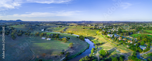
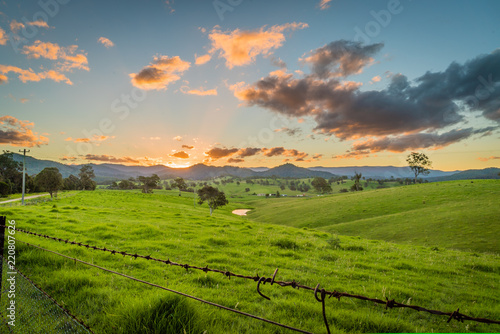
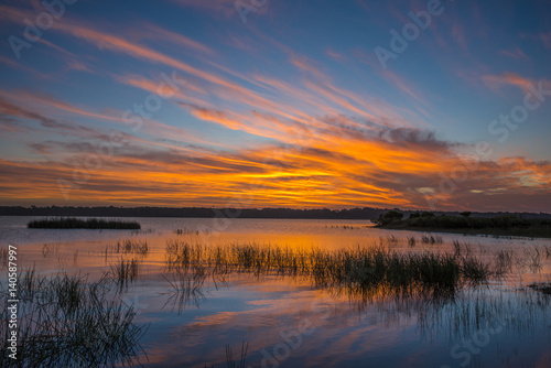
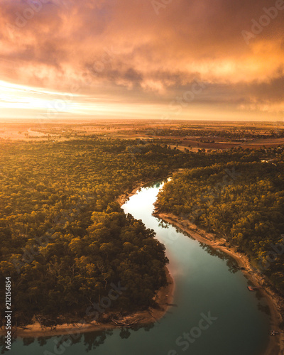
Aerial panorama of Yass River meandering through beautiful countryside at sunset. Yass, New South Wales, Australia
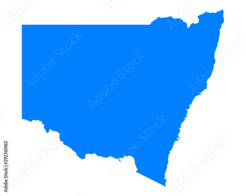
map of New South Wales state of Australia
Gravestones within Rookwood Cemetery in New South Wales, Australia
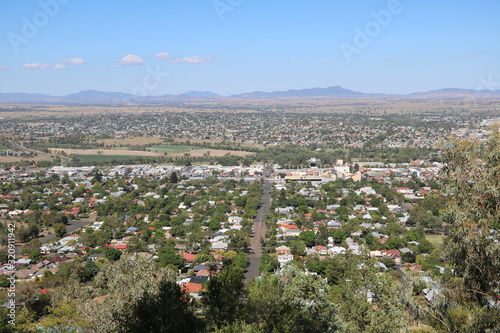
Oberon, Central tablelands nsw Australia
Sydney Skyline taken from Taronga Zoo
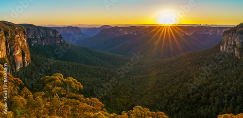
sunrise at govetts leap lookout, blue mountains, australia 52
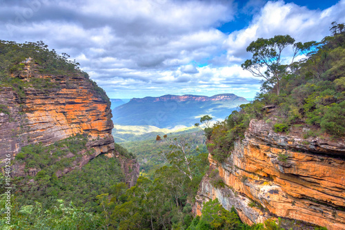
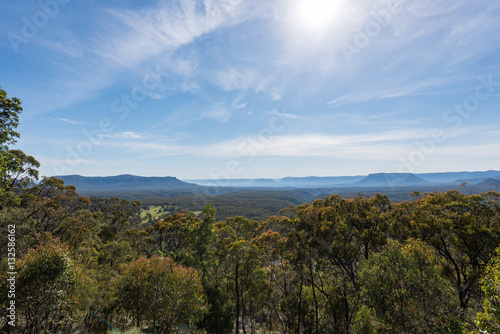
Blue mountains national park, Australia
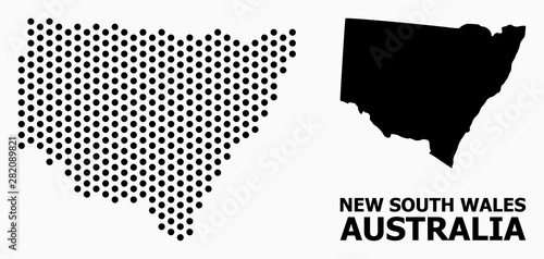
Pixel Pattern Map of New South Wales
Sunset over the mountains in New South Wales, Cobargo
vector map of australia with borders of states
Town Hall & Queen Victoria Building - Sydney - Australia
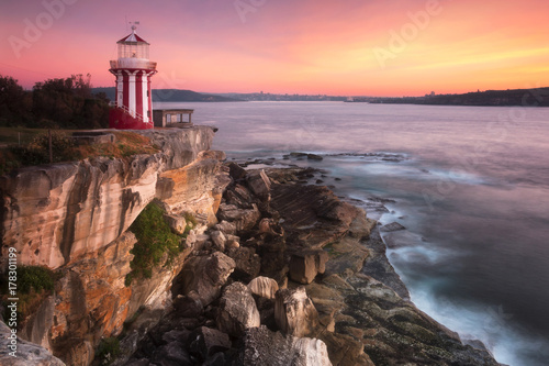
Hornby Lighthouse Sydney Watson Bay,Sydney,Australia
Myall Lakes National Park, New South Wales, New South Wales, Australia
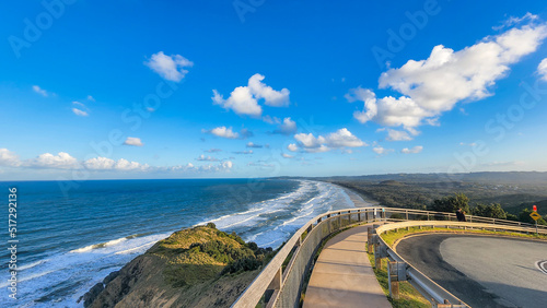
The Byron Bay lighthouse sits on Australia's most eastern mainland point. New South Wales, Australia.
New South Wales Map Black | Australian State Border | State Country | Transparent Isolated | Variations
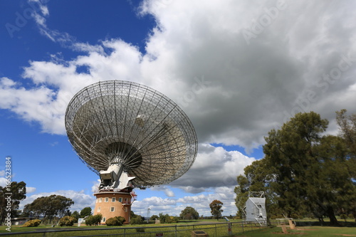
Radio telescope at Parkes in central New South Wales Australia
Mayfield Garden is a botanical garden located in Oberon, Central Plateau region of New South Wales, Australia.
Downtown Sydney skyline in Australia
blayney wind farm wind power station at lake carcoar in new south wales
Karte von New South Wales
The New South Wales south coast town of Narooma and Wagonga inlet.
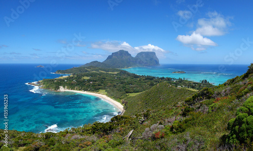
Lord Howe Island high view, New South Wales, Australia
Editorial Swansea, UK - August 30, 2023: Drone view from Swansea Marina including the new Swansea Arena, Leisure Centre and Maritime museum in South Wales UK
La Perouse Beach, New South Wales, Australia
Sunet from Fitz roy lake in Southern highlands NSW.
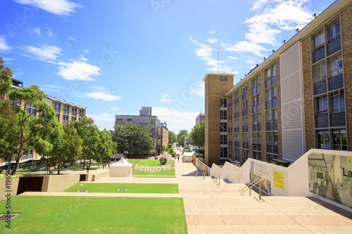
Landscape photo of University of New South Wales Kensington Campus
Set maps of New South Wales state
Bondi to Coogee walk in Sydney, New South Wales, Australia
The Mt Piper Power Station near Lithgow in New South Wales
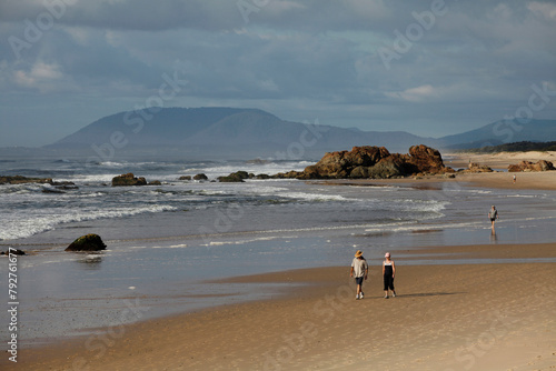
Swimming and walking at the Lighthouse Beach in Port Macquarie in New South Wales, Australia, Pacific
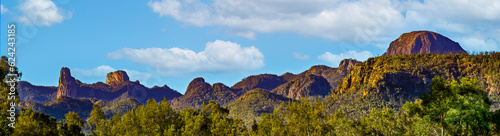
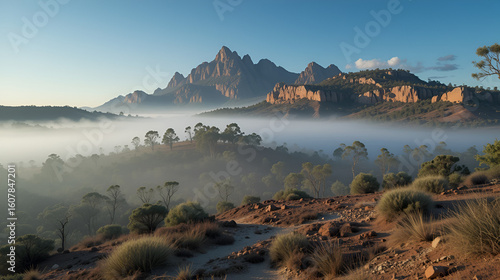
Main range of mountains in Warrumbungle National Park in New South Wales in Australia
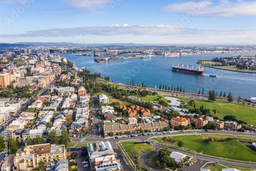
Newcastle Harbour- NSW Australia - Aerial View with ship entering port
River setting at Belegim, New South Wales, Australia.
Sydney Aerial View.
Road map of the Australian state New South Wales map
Black map country of New South Wales
Aerial panorama of Moama in New South Wales, Australia
Giant Tree Ferns - Blue Mountains - Australia
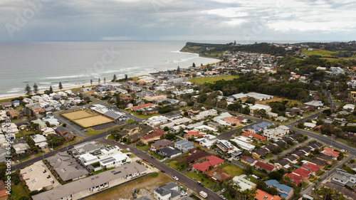
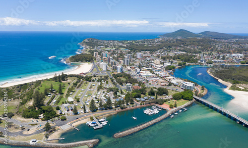
Aerial drone view of Shellharbour above Shellharbour North Beach on the New South Wales South Coast, Australia looking in the south direction toward Shell Cove on a sunny day
A modern, two-story apartment building with white walls and blue accents, situated on the beachfront in northern Australia Generative AI
Charming rural trail winding through picturesque landscapes of new south wales, Australia
Sydney Harbour Opera House Cityscape Skyline Aerial View, Sydney, Australia
The town of Gundagai on the Murrumbidgee river, New South Wales.
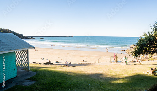
Surf lifesavers guide their dinghy out from the beach into heavy surf.
Bird's-eye view to Tamworth in New South Wales Australia
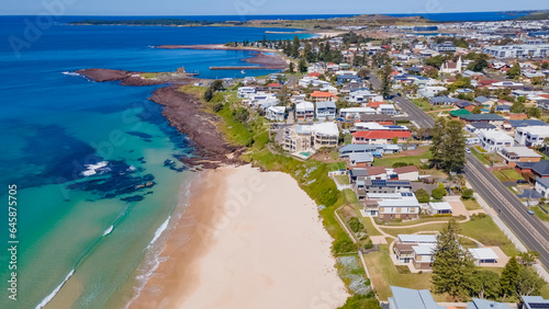
New South Wales South Coast, Australia
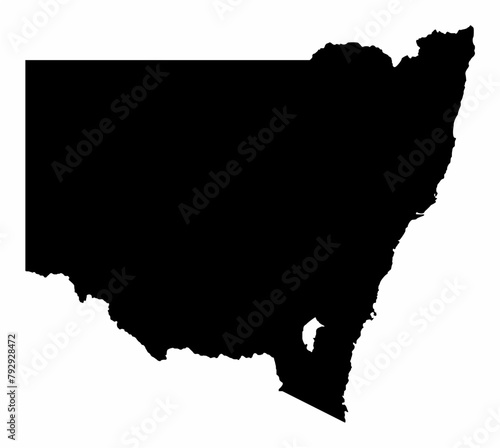
New South Wales silhouette map
Aerial view of the buildings and green trees in the town of Inverell, New South Wales, Australia
Aerial panoramic view of the southern half of Lennox Head, New South Wales, Australia
High-quality New South Wales 3D soil map, New South Wales 3D soil map render.
Middle Somersby Falls P
Walking path to the Cape Byron lighthouse overlooking Tallow Beach below
View from Lithgow contryside town in NSW Australia
Panorama over Pulpit Rock lookout famous landmark in Blue Mountains National Park, New South Wales, Australia. Australian landscape with scenic views of Grose Valley, Blue Gum Forest and Govetts Leap.
The rolling mountains around lake lyall, lithgow. Located up in the blue mountains of new south wales.
mountains
Vector map of Australia with separated territories. Colorful sketch illustration
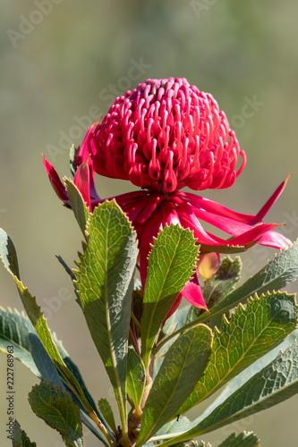
The beautiful Waratah Flower
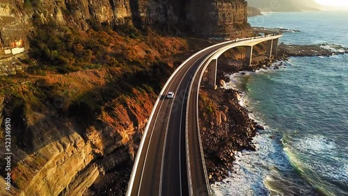
Scenic view of Seacliff Bridge, Wollongong, Australia
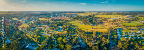
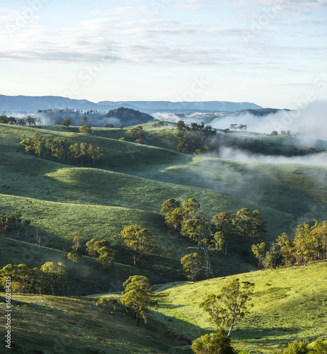
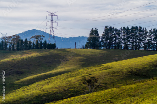
Stunning scenery in Northern New South Wales, Australia, featuring rolling hills, lush farmlands, dense forests, and serene views, offering a perfect blend of nature and tranquility
Morton National Park New South Wales Australia
Lord Howe Island, New South Wales, Australia
Views over islands and beaches around Port Stephens on the NSW Mid North Coast
Panoramic shot of a beautiful sunny day over South Wales
The town of Forster on the New South Wales north coast.
Grain silos on a railway track in the country
serene misty rugged mungo national park
Murray River Australia
La Perouse Beach, New South Wales, Australia
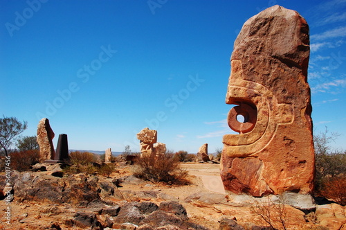
Sculpture symposium, Broken hill, New South Wales, Australia
Mount Tomaree View toward Nelson Bay
Yamba Beach from the top in Yamba, NSW (New South Wales), Australia
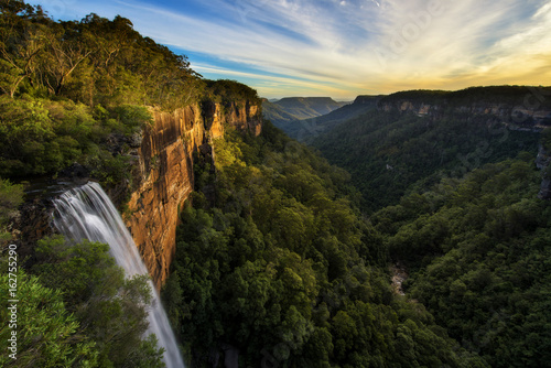
Fitzroy Falls in New South Wales, Australia
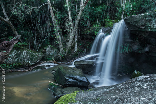
Vertical shot of a waterfall in Macquarie Pass National Park, New South Wales, Australia
Fitzroy falls in Sydney
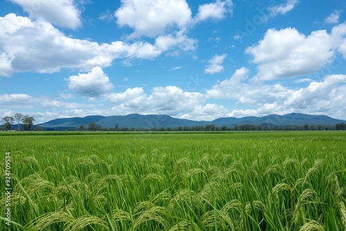
Wide shot of a rice paddy in new south wales with mountains in the distance under a blue sky
Downtown Sydney skyline in Australia
An image of the Tree Sisters Blue Mountains Australia sunset
4K Aerial view Real time Footage of Sydney City various building in CBD downtown district via Central station, Sydney, New South Wales, Australia, Business and Financial, Travel and Transportation
beautiful sunset above famous ebor falls in new south wales, guy fawkes river national park near dorrigo; unique and spectacular double waterfall in australia, halfway between brisbane and sydney
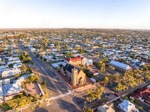
Early morning sunrise high angle aerial drone view of the Cathedral of the Sacred Heart of Jesus, a catholic church, and the historic outback mining town of Broken Hill, New South Wales, Australia.
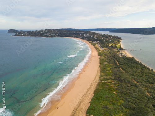
A view of Palm Beach, Sydney from Barrenjoey Head.
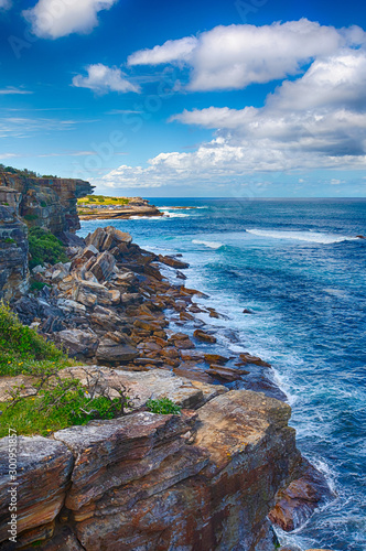
Aerial Forward Shot Of Cars Moving On Sea Cliff Bridge - New South Wales, Australia
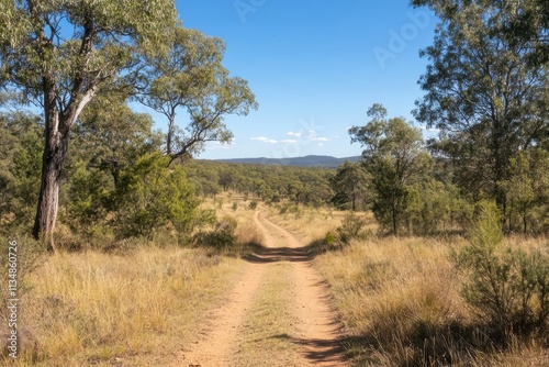
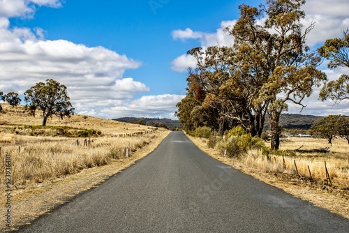
Long dirt road is leading through green meadows to distant mountains under a cloudy blue sky
Capertee Valley in Lithgow, New South Wales, Australia. Surrounded by the wonders of World Heritage listed wilderness, the Capertee Valley is the world's second largest canyon.
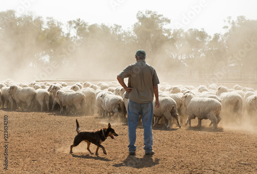
sheep mustering in outback New South Wales, Australia.
Gold Road near the rural areas of Emmaville, New South Wales, Australia
flat map marker icon with new south wales state flag isolated on white background. vector illustration
Gravestones within Rookwood Cemetery in New South Wales, Australia
Coogee to Bondi coastwalk. View to Gordons Bay in New South Wales, Sydney, Australia
Woronora River surrounded by lush greenery in Sutherland Shire, Sydney, New South Wales, Australia
Windang Island in Illawarra, New South Wales
Aerial view of Lord Howe Island (World Heritage-listed paradise), turquoise blue lagoon and Mount Gower on background - New South Wales - Tasman Sea - Australia from above, 4k UHD
Aerial shot of Macquarie Pass National Park, New South Wales, Australia