Login
Sign Up
Member Area
Login
Sign Up
English
Afrikaans formal
Afrikaans informal
Arabic
Azerbaijan
Brazilian
Bulgarian
Catalan
Chinese simplified
Chinese traditional
Croatian
Czech
Danish
Dutch
English
Estonian
Finnish
French
Georgian
German
Greek
Hebrew
Hungarian
Icelandic
Indonesian
Italian
Japanese
Latvian
Lithuanian
Malaysian
Norwegian
Persian
Polish
Portuguese
Romanian
Russian
Serbian
Slovakian
Slovenian
Spanish
Swedish
Thai
Turkish
Ukrainian
Vietnamese
Toggle navigation
VideotonStock
Your Shopping Cart is empty.
Files
Stock
Photo
Video
Special offer
Collections
Packages
Lightboxes
Licenses
Royalty free
Rights managed
Creative
Editorial
Items
Most downloaded
Featured
Most popular
New
Free
Categories
Browse categories
Site info
Site info
About
Support
Privacy Policy
Privacy Policy
FAQ
Contact Us
Contact Us
Terms and Conditions
Buyer Agreement
Seller Agreement
Customers
Users
Credits
Photographers
Boby Richards
0
Boby Richards
0
Videoton1
286
Search
Keywords:
Creator ID:
Type:
Photo
Illustration
Vector
Video
Template
3d
Categories:
Animals
Buildings and Architecture
Business
Drinks
The Environment
States of Mind
Food
Graphic Resources
Hobbies and Leisure
Industry
Landscapes
Lifestyle
People
Plants and Flowers
Culture and Religion
Science
Social Issues
Sports
Technology
Transport
Travel
News
Entertainment
Sport News
Languages:
Brazilan Portuguese - Brazil
English - Canada
French - Canada
Spanish - Mexico
English - United States
English - Belgium
French - Belgium
Dutch - Belgium
Czech - Czech Republic
English - Cyprus
Danish - Danmark
German - Germany
English - Estonia
Spanish - Spain
French - France
French - Marocco
English - Greece
English - Ireland
Italian - Italia
English - Latvia
English - Lithuania
German - Luxembourg
English - Luxembourg
French - Luxembourg
English - Hungary
English - Malta
Dutch - Nederlands
Bokmal Norwegian - Norway
German - Austria
Polish - Poland
Portuguese - Portugal
English - Romania
German - Switzerland
English - Slovenia
Slovakian - Slovakia
French - Switzerland
English - Finland
Swedish- Sweden
Italian - Switzerland
English - United Kingdom
English - Bulgaria
English - Australia
Japanese - Japan
Korean - South Korea
English - New Zealand
Russian - Russia
English - Ukrain
English - Thailand
Orientation:
All
Horizontal
Vertical
square
Color:
Model property release:
All
Yes
No
Duration Video:
All
Up to 10 seconds
Up to 20 seconds
Longer than 30 seconds
Results
(0)
Site
Getty/iStock
Bigstockphoto
Pixabay
Adobe Stock
Relevance
New
Most popular
Most downloaded
Undiscovered
12
24
36
48
96
Auto paging
Menu
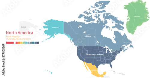
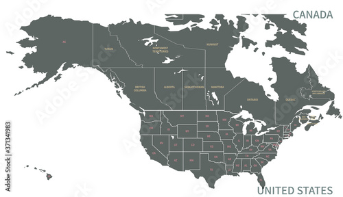
Visual representation of United States and Canada symbols Generative AI
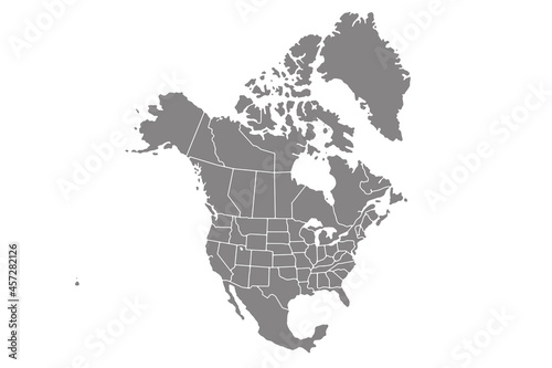
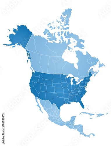
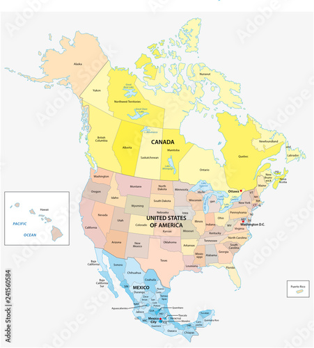
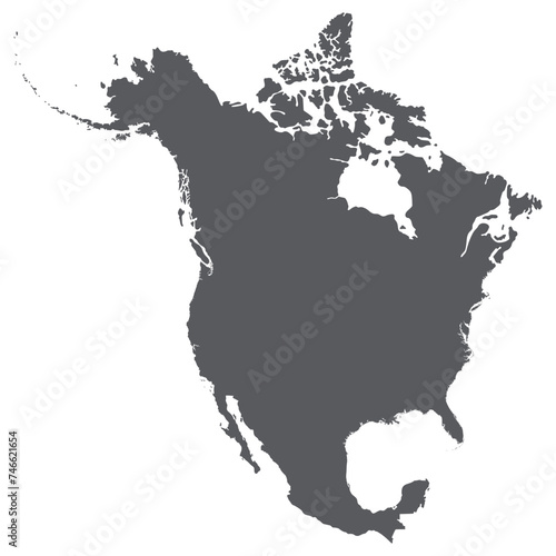
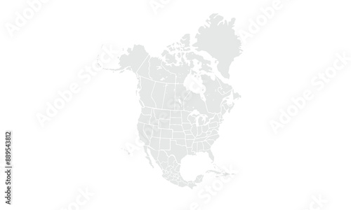
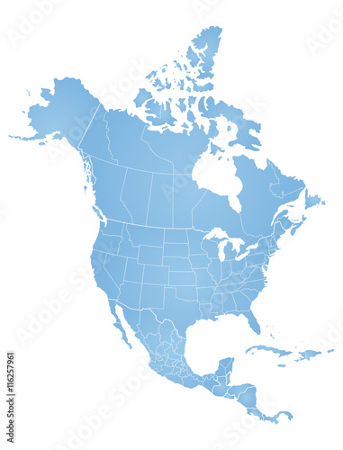
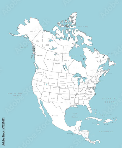
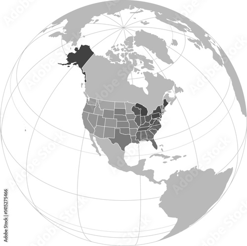
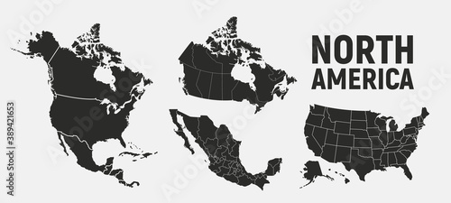
Map of North america
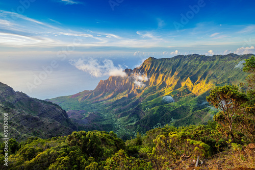
Pali sea cliffs at Kalalau lookout, Napali coast, Kokee State Park, Kauai Island, Hawaii, United States of America, North America
Great Blue Heron standing in water near Chincoteague Island, Virginia
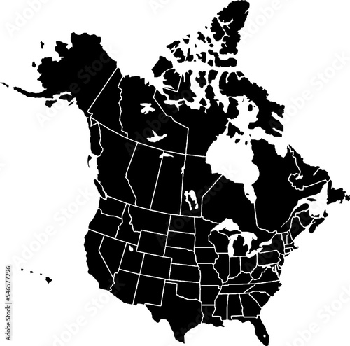
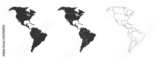
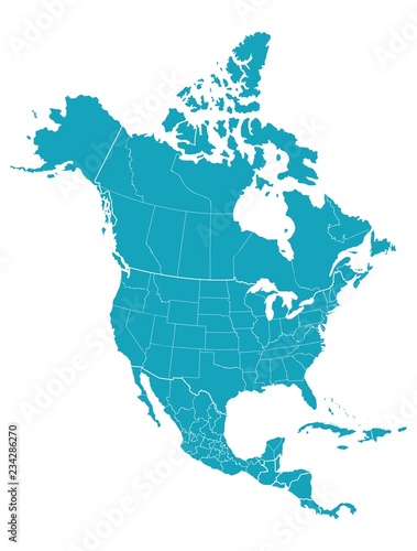
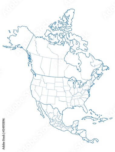
Map of North America, isolated on white background. Vector EPS.10
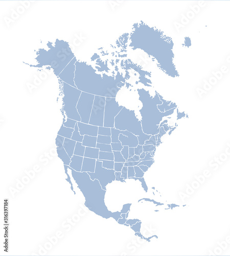
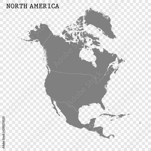
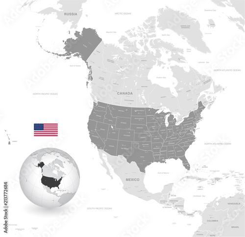
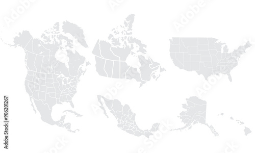
North America with countries Map grey
Eagle soars at dawn. Bird flies over field. Sunrise colors the sky. Fog covers the ground. Peaceful nature scene. Wildlife image.
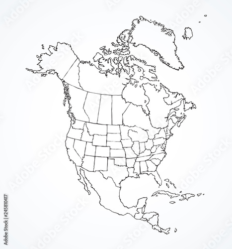
North American continent with contours of countries. Vector drawing
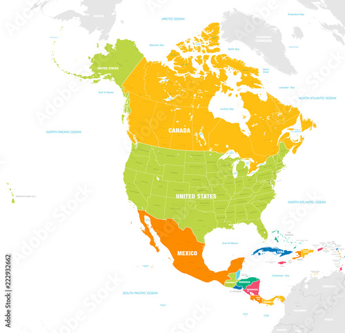
Colorful Vector map of North and Central America
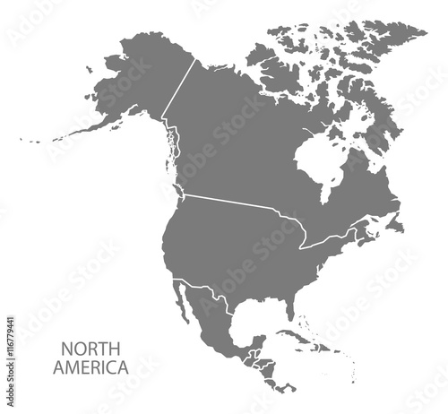
High quality map of North America
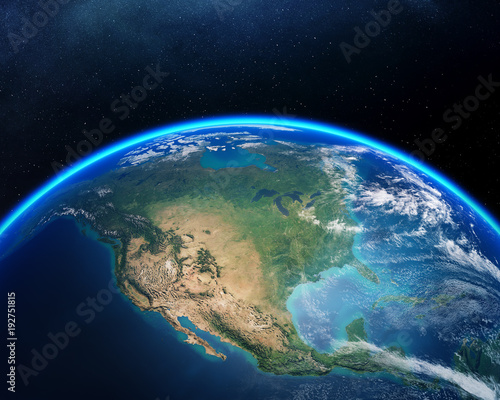
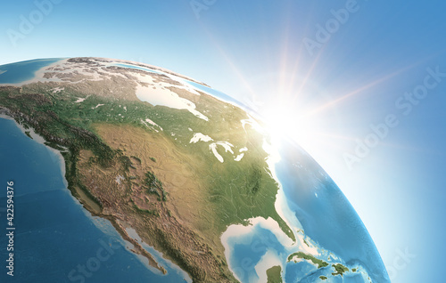
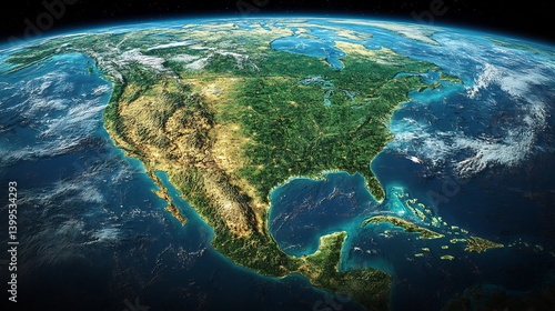
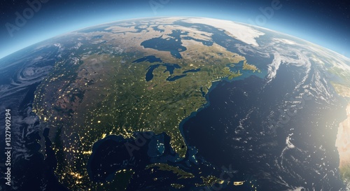
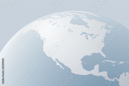
Earth from space North America
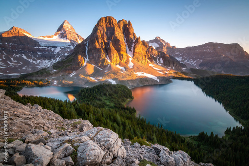
mount assiniboine provincial park, british columbia, canada
Black colored North America outline map. Political north american map. Vector illustration map.
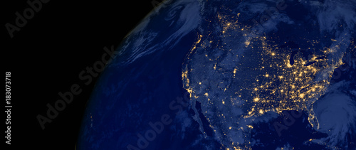
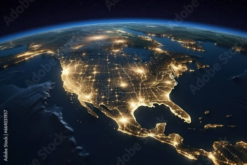
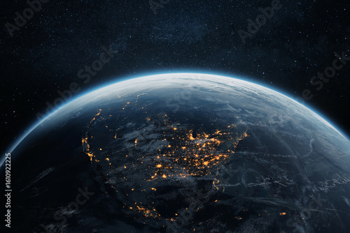
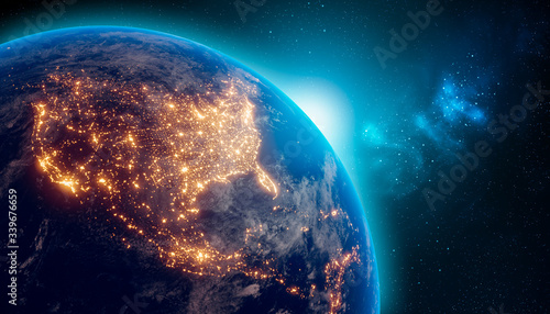
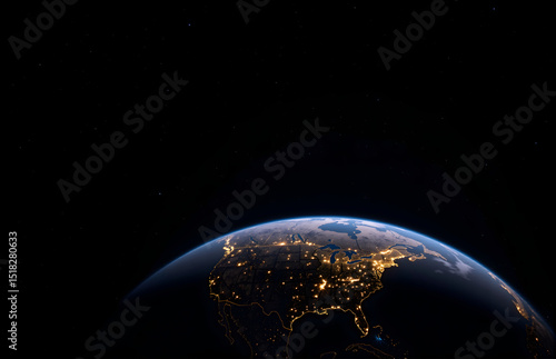
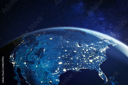
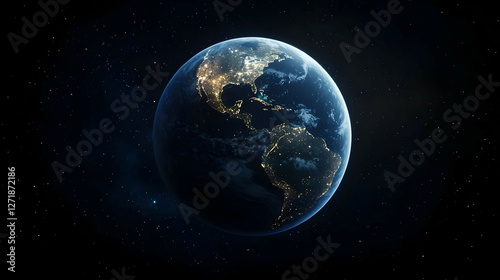
United States of America lights during night as it looks like from space. Elements of this image are furnished by NASA
Global Network: A vibrant digital illustration depicting a global network of connections, with a focus on North America, illuminated by glowing lines that symbolize data transfer and communication.
America map set with states borders isolated on white. Grey coloured map set. Vector
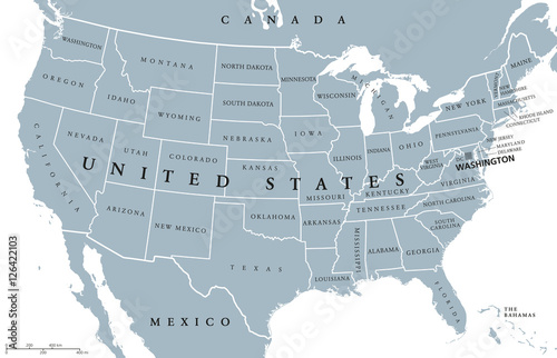
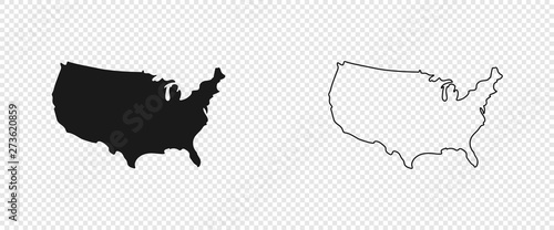
USA United States of America political map with capital Washington, single states, neighbor countries and borders except Hawaii and Alaska. Gray colored illustration with English labeling and scaling.
Colorful detailed vector map of the north American country.
Kitchener, Ontario, Canada
North America map vector icon. Flat design blue color
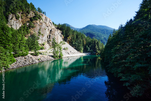
Skagit River, North Cascades National Park, Washington State, United States, North America
Global network connections over North America.
North America with country borders, vector illustration.
Map of North America
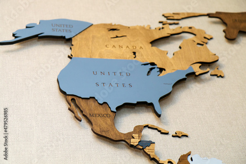
Wooden map of the world on the wall. Mainland North America continent with the names of countries and capitals. Geographic concept of plywood, laser cutting.
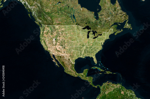
Satellite image of USA with borders and state lines (Isolated imagery of USA. Elements of this image furnished by NASA)
Vector Map of North America and Central America
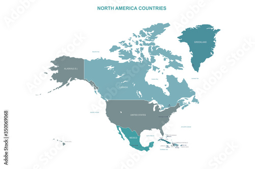
Administrative and political vector map of the three North American states, Mexico, Canada and the United States of America
North American continent with contours of countries. Vector drawing
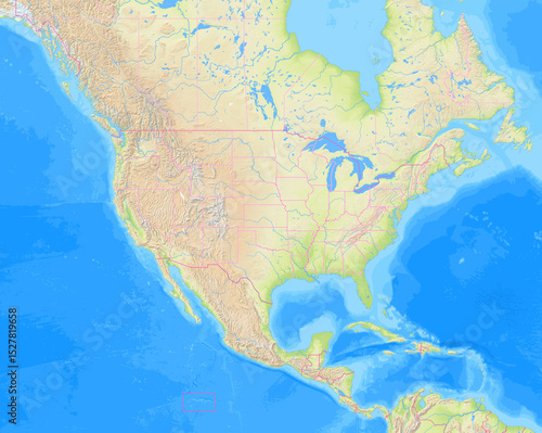
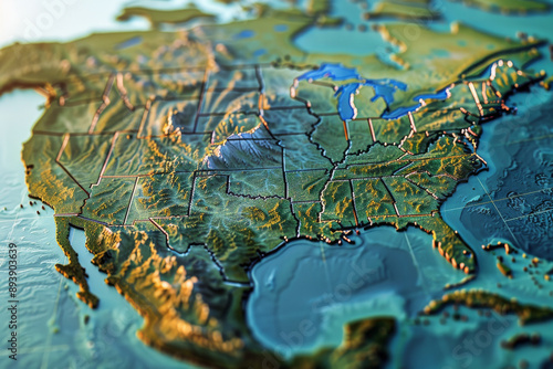
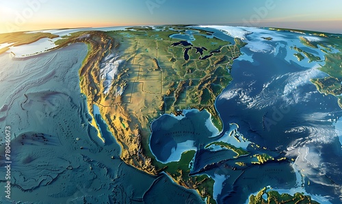
Detailed topographic representation of North America showcasing
North America Map Digital Cyber Background
Sun shining over a high detailed view of Planet Earth, focused on North America, USA and Canada. 3D illustration - Elements of this image furnished by NASA
Two Milkweed bugs on a Milkweed flower; North Carolina, United States of America
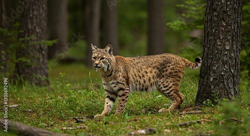
Solitary Hunter The Bobcat in its Natural Environment
Great Horned owl with wide bright yellow eyes perched on a branch surrounded by fall leaves on a warm sunny fall afternoon. The owl is a beautiful contrast in the yellow tree.
North America country Map. Map of North America in grey color.
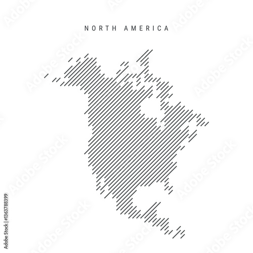
North America map from pattern of black slanted parallel lines. Continent map with gray diagonal lines. Silhouette made of oblique hatching. Vector illustration isolated on white.
Map of the United States of America and surrounding countries without any labels
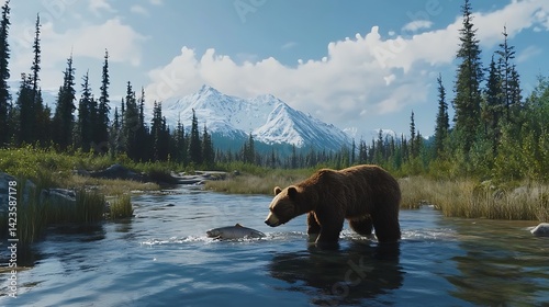
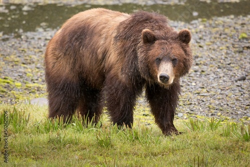
Brown Bear Stalking Salmon in River with Snowcapped Mountains Backdrop
North American Countries Map. The main boundary map of Canada, the United States.
Grey Vector Political Map of the USA
Global Network Hub, America-Centric Digital World Globe, Signifying High-Speed Data Transfer, Cyber Technology, and International Information Exchange
Aerial view of futuristic North America with snowy mountains and coastal cities
USA from space at night with city lights
Map of North America
States of America territory. North and South America. Asia, Eurasia, Europe, Africa, Australia
grizzly bear leading her cubs across a small hilltop. Grand Teton National Park, Wyoming
Pink salmon (Oncorhynchus gorbuscha) migrating up the Campbell River, Vancouver Island, British Columbia, Canada.
Satellite image of USA with borders (Isolated imagery of USA. Elements of this image furnished by NASA)
Puerto Rico country location within North America. 3d map
North America Satellite Image with Detailed Terrain.
Brown bear (Ursus arctos) in a field, Pack Creek, Admiralty Island National Monument, Admiralty Island, Alaska, USA
North America map Grayscale,isolated on white background for website layouts,background,education, precise,customizable,Travel worldwide,map silhouette backdrop,earth geography, political,reports.
Night view of Earth from space, showing illuminated cities like New York, Washington, Atlanta, and Chicago. Stunning North America lights under a starry sky.
Futuristic digital landscape of North America in vibrant neon colors for slow motion video technology content
Global digital network with earth representation connecting continents bright internet technology showing world connectivity for global business expansion and data transfer
North America continent dark blue highlighted silhouette on Earth globe. Country name labels visible. Vector illustration
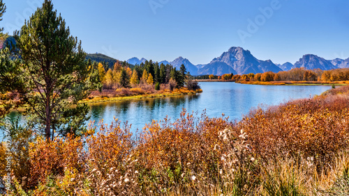
A beautiful and colorful fall scene along the water's edge with the background of the grand teton mountains
North America country Map. Map of North America in multicolor.
World vector map with country boundaries and graticules (Canada-centered view, orthographic projection, PPT-compatible & fully editable)
North American continent with contours of countries. Vector drawing, vector 10 eps.
northern cardinal
Bald eagle, USA, North America
USA, Canada, Mexico border map. North America countries vector map.
Beautiful aerial view of downtown Vancouver skyline, British Columbia, Canada at sunset
USA map. American map. United States of America map in flat and lines design
Bison walking toward misty Yellowstone River, grasses in foreground, flora, north america, morning
Translucent Blue Globe of North America with Reflective Surface
Map of North America
A breathtaking view of North America from space at night, highlighting illuminated cities, diverse landscapes of forests and mountains, and the surrounding vast ocean.
paper cut style world map, white background
Glowing cities and starfilled sky seen from space at night demonstrate the beauty of our planet and cosmos
A beautifully illustrated topographic map of North America, highlighting elevations, state borders, and diverse terrain.
Northern hawk-owl (Surnia ulula) close up.
Stethoscope with pills in shape of North America
Earth Viewed from Space Americas
North America vector map with countries
North America map vector illustration, scribble sketch North America
Earth at night from outer space with city lights on North America continent. 3D rendering illustration. Earth map texture provided by Nasa. Energy consumption, electricity, industry, ecology concepts.
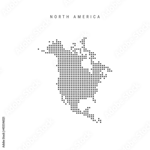
Square dots pattern map of North America. Dotted pixel map. Vector illustration
Earth Night View Overlook
Digital map of North America, showcasing the interconnectedness of the continent through glowing lines and dots, representing communication, technology, and global connections.
World vector map with U.S. administrative boundaries and graticules (United States–centered and highlighted view, orthographic projection, PPT-compatible & fully editable)
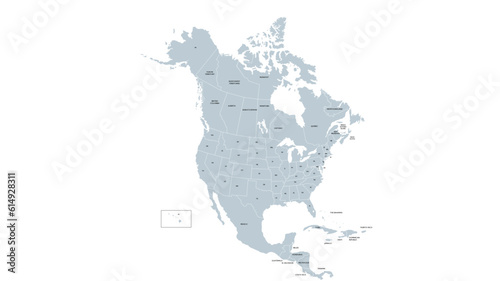
North America map templates. USA, Canada and Mexico map Grayscale,isolated on white background for website layouts,background,education, precise,customizable,Travel worldwide,map silhouette backdrop.
north america map. vector map of north america countries.
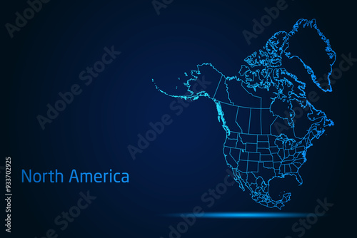
Abstract High Detailed Glow Blue Map on Dark Background of Map of North America symbol for your web site design map logo, app, Travel. Vector illustration eps 10.
Line shape world map vector highlighting North and South America, Africa, and Eurasia. Geometric and abstract, ideal for modern cartographic visuals. Realistic line shape world map in vertical shape
North America, World, earth, globe, planet, map, continent, geography, universe, blue
Labrador Retriever in stream
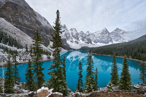
Wenkchemna Peaks Or Ten Peaks Rising Over Moraine Lake In The Snow, Near Lake Louise, Banff National Park, Alberta, Canada, North America
Infographics Vector Background #Global Map_North America
North America map
USA from space at night with city lights showing American cities in United States, global overview of North America, 3d rendering of planet Earth, elements from NASA
North America map templates. USA, Canada and Mexico map isolated on white background. North America maps set. Vector illustration
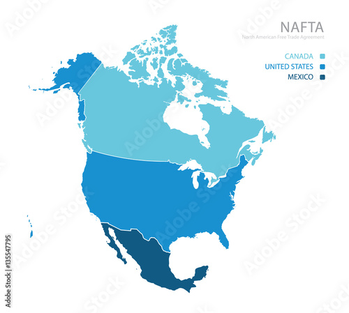
Map of NAFTA (North American Free Trade Agreement)
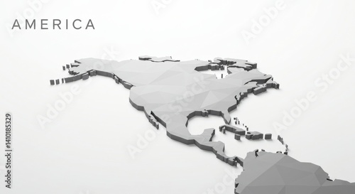
Gray Low Polygonal Map Of North America
geography and topography of the USA through a detailed physical map, showcasing Earth's landforms in a 3D illustration
North America country Map. Map of North America in blue color.
Pixelated Earth at Night Viewed from Space
Lights from urban areas connect across North America, showcasing a web of cities and technology. The view captures the blend of natural and man-made features at night from altitude