Login
Sign Up
Member Area
Login
Sign Up
English
Afrikaans formal
Afrikaans informal
Arabic
Azerbaijan
Brazilian
Bulgarian
Catalan
Chinese simplified
Chinese traditional
Croatian
Czech
Danish
Dutch
English
Estonian
Finnish
French
Georgian
German
Greek
Hebrew
Hungarian
Icelandic
Indonesian
Italian
Japanese
Latvian
Lithuanian
Malaysian
Norwegian
Persian
Polish
Portuguese
Romanian
Russian
Serbian
Slovakian
Slovenian
Spanish
Swedish
Thai
Turkish
Ukrainian
Vietnamese
Toggle navigation
VideotonStock
Your Shopping Cart is empty.
Files
Stock
Photo
Video
Special offer
Collections
Packages
Lightboxes
Licenses
Royalty free
Rights managed
Creative
Editorial
Items
Most downloaded
Featured
Most popular
New
Free
Categories
Browse categories
Site info
Site info
About
Support
Privacy Policy
Privacy Policy
FAQ
Contact Us
Contact Us
Terms and Conditions
Buyer Agreement
Seller Agreement
Customers
Users
Credits
Photographers
Boby Richards
0
Boby Richards
0
Videoton1
286
Search
Keywords:
Creator ID:
Type:
Photo
Illustration
Vector
Video
Template
3d
Categories:
Animals
Buildings and Architecture
Business
Drinks
The Environment
States of Mind
Food
Graphic Resources
Hobbies and Leisure
Industry
Landscapes
Lifestyle
People
Plants and Flowers
Culture and Religion
Science
Social Issues
Sports
Technology
Transport
Travel
News
Entertainment
Sport News
Languages:
Brazilan Portuguese - Brazil
English - Canada
French - Canada
Spanish - Mexico
English - United States
English - Belgium
French - Belgium
Dutch - Belgium
Czech - Czech Republic
English - Cyprus
Danish - Danmark
German - Germany
English - Estonia
Spanish - Spain
French - France
French - Marocco
English - Greece
English - Ireland
Italian - Italia
English - Latvia
English - Lithuania
German - Luxembourg
English - Luxembourg
French - Luxembourg
English - Hungary
English - Malta
Dutch - Nederlands
Bokmal Norwegian - Norway
German - Austria
Polish - Poland
Portuguese - Portugal
English - Romania
German - Switzerland
English - Slovenia
Slovakian - Slovakia
French - Switzerland
English - Finland
Swedish- Sweden
Italian - Switzerland
English - United Kingdom
English - Bulgaria
English - Australia
Japanese - Japan
Korean - South Korea
English - New Zealand
Russian - Russia
English - Ukrain
English - Thailand
Orientation:
All
Horizontal
Vertical
square
Color:
Model property release:
All
Yes
No
Duration Video:
All
Up to 10 seconds
Up to 20 seconds
Longer than 30 seconds
Results
(0)
Site
Getty/iStock
Bigstockphoto
Pixabay
Adobe Stock
Relevance
New
Most popular
Most downloaded
Undiscovered
12
24
36
48
96
Auto paging
Menu
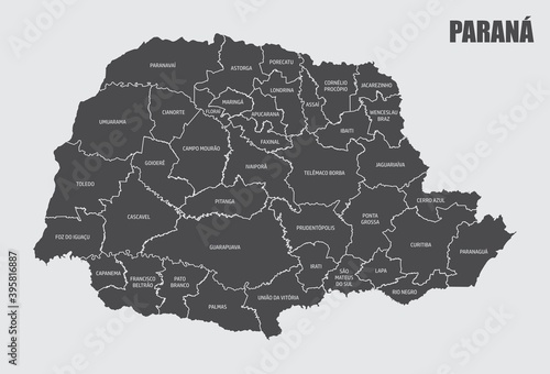
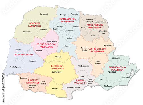
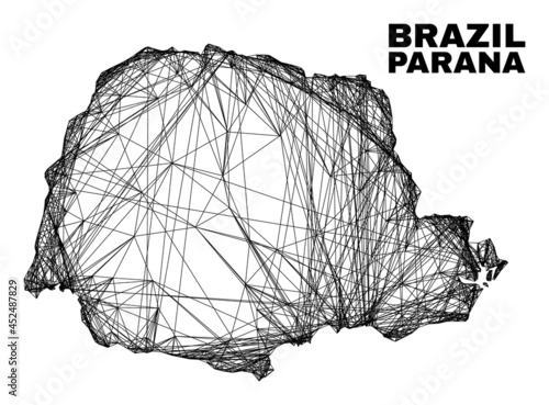
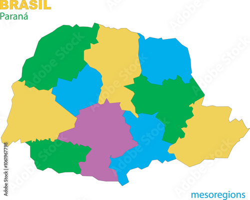
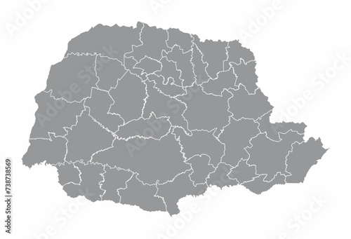
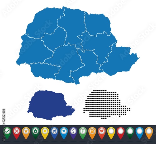
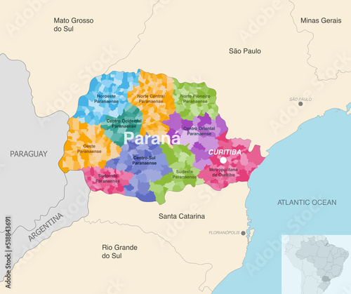
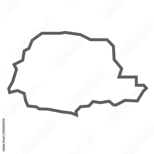
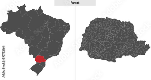
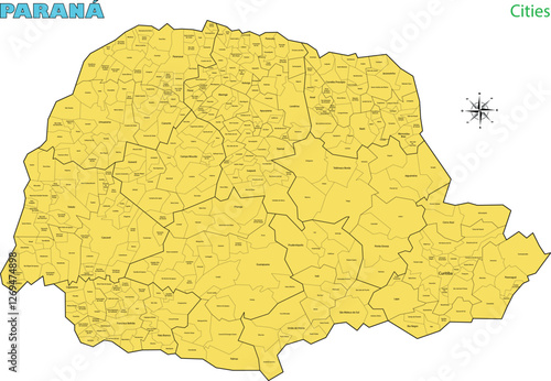
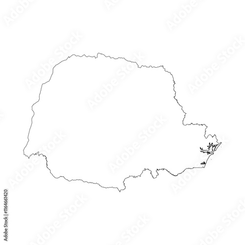
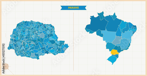
Parana State regions map
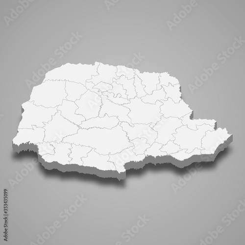
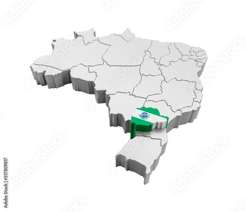
parana 3d map state of Brazil Template for your design
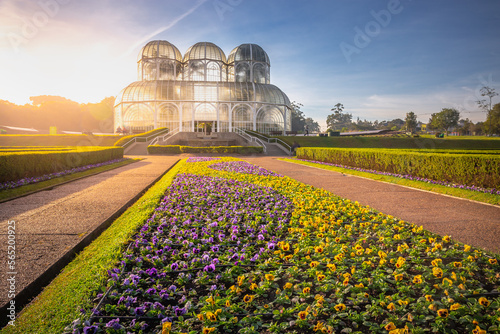
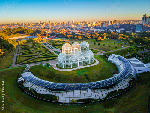
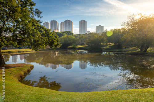
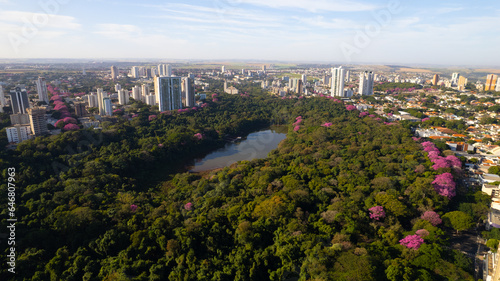
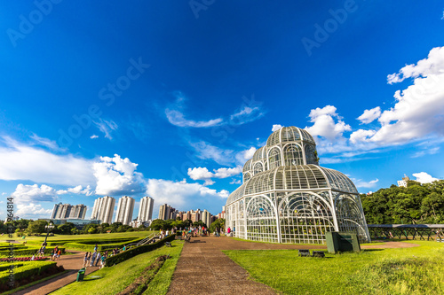
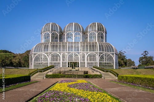
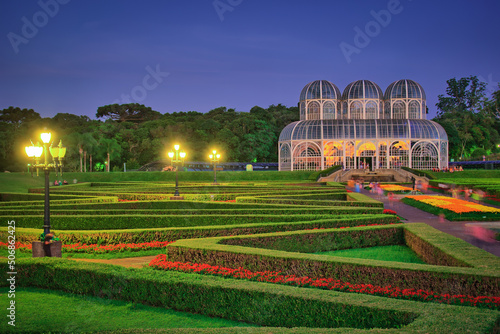
Public park around Botanical garden greenhouse in Curitiba, Parana, Brazil
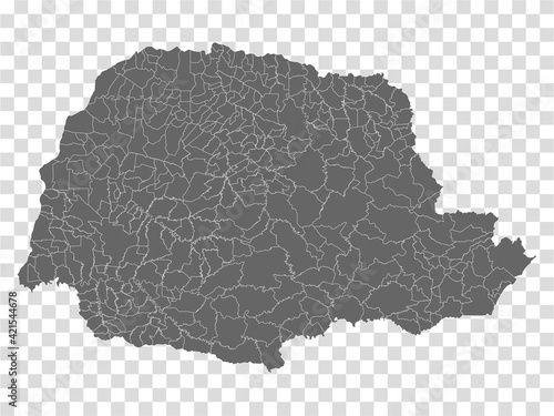
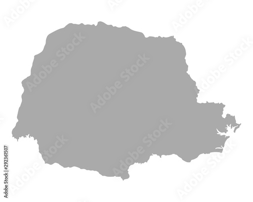
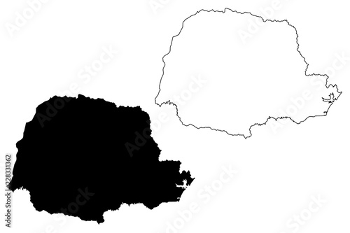
Blank map Parana of Brazil. High quality map Parana with municipalities on transparent background for your web site design, logo, app, UI. Brazil. EPS10.
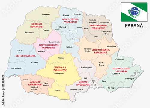
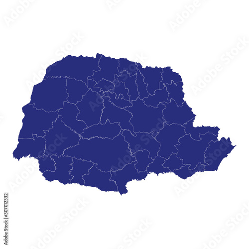
parana administrative map
Karte von Parana
Parana state of Brazil flag waving on the top sunrise mist fog
JARDIM BOTÂNICO
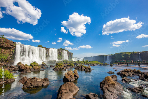
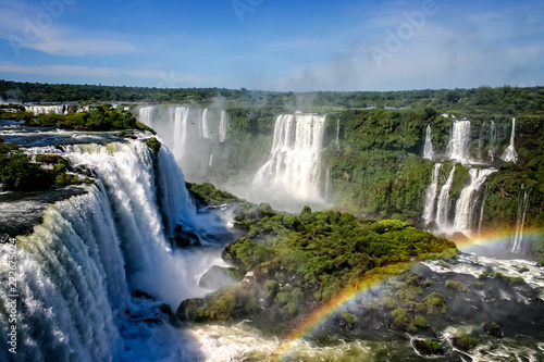
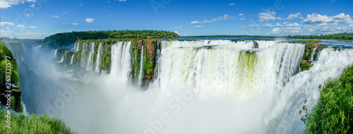
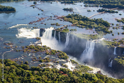
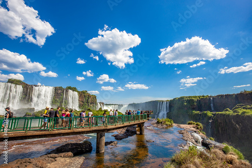
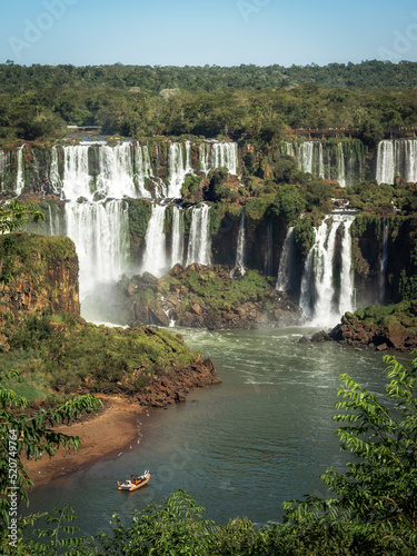
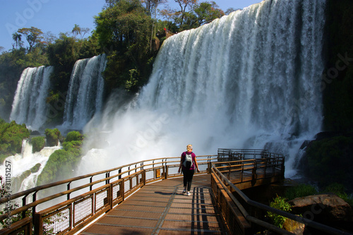
View of the Iguazu Falls, border between Brazil and Argentina.
Water cascading over the Iguacu falls with rainbow in foreground in Brazil
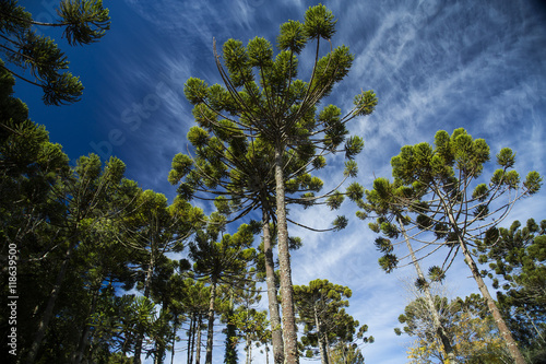
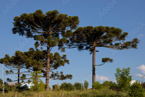
Closeup of upper part of Araucaria angustifolia ( Brazilian pine
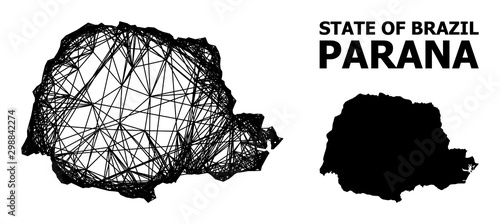
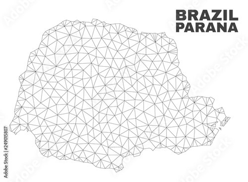
Wire frame irregular mesh Parana State map. Abstract lines are combined into Parana State map. Wire frame 2D network in vector format.
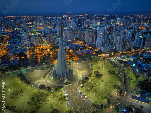
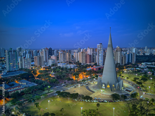
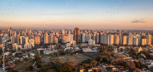
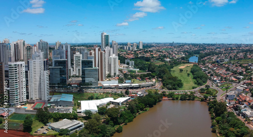
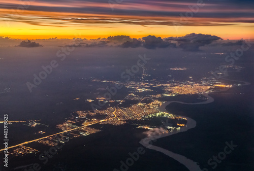
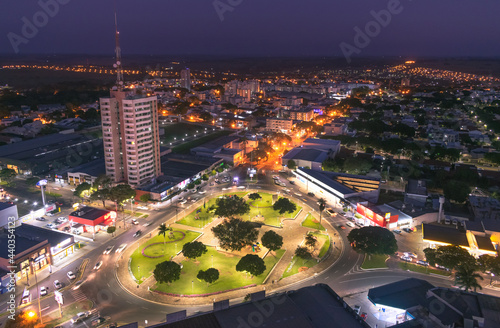
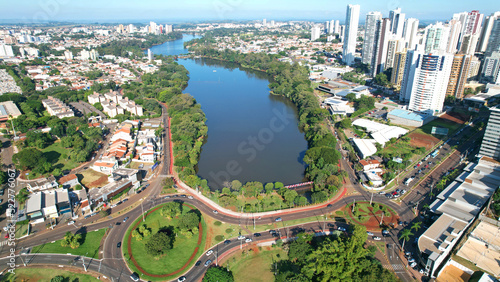
Aerial View of Maringa, Cathedral and downtown. Several buildings. Paraná, Brazil.
Sunset above the Parana River Delta near Buenos Aires in Argentina
Typical tree from southern Brazil. It grows in high and cold places. With the scientific name of Araucaria angustifolia. Photo taken in Rio Azul, Parana, Brazil.
Silhouette of Araucarias at sunset, a genus of evergreen coniferous trees typical of the southern Brazil
Panoramic of Iguazu Falls seen from the top of the falls, Argentina
parana map with map pin
Map of the territory of the state of Parana with divisions by highlighted mesoregions, vector with simple lines of political divisions
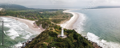
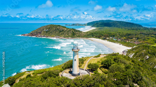
Lighthouse of Farol das Conchas, built in 1872, Ilha do Mel, Paranagua, Parana State, Brazil, Panoramic view. July 2018.
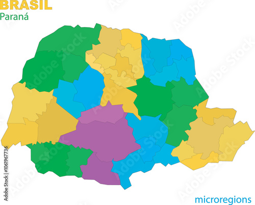
Parana regions map
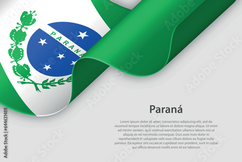
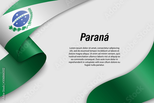
3d ribbon with flag Parana. Brazilian state. isolated on white background
Park Barigui in Curitiba at sunrise with lake reflection, Parana State, Brazil
Set maps of Parana state
parana administrative and political map with flag
Parana Waving Flag Against a Cloudy Sky
Iguazu Falls Sunset: Majestic Brazilian Waterfall at Golden Hour
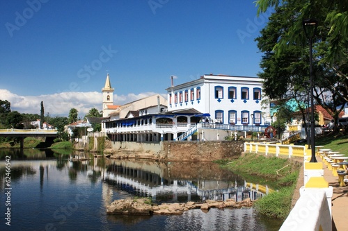
Colonial City of Morretes, Parana, Brazil
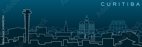
Curitiba Multiple Lines Skyline and Landmarks
Parana (Brazil) flag waving on the wind
flag Parana, state of Brazil, isolated on background with copyspace
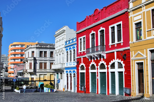
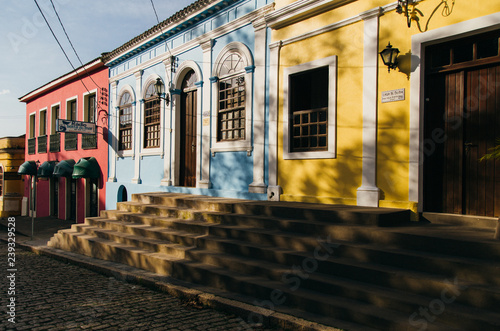
Old houses in Curitiba - Brazil
Aerial View of Maringa, Cathedral and downtown. Several buildings. Paraná, Brazil.
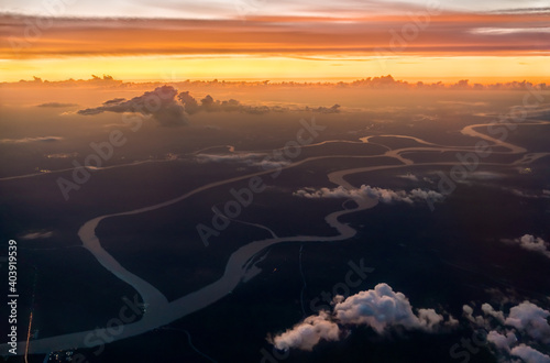
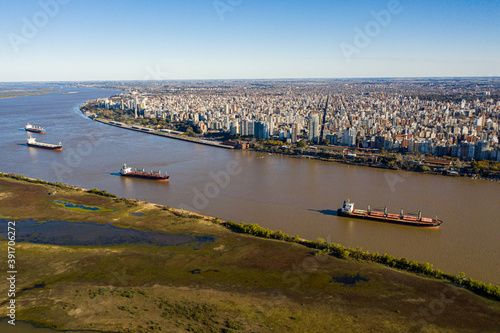
aerial view of the parana river, a cargo ship on the horizon.
Brazil State Flags: Waving Fabric Flag of Paraná
Mountain (Pico Parana - Brazil).
Brazil state Parana administrative map showing municipalities colored by state regions (mesoregions)
Panoramica Tanguá
Map of the territory of the state of Parana with divisions by highlighted microregions, vector with simple lines of political divisions
Maringá, vista aérea da cidade de maringá, paraná, brasil. Catedral de Maringá, Parque do Ingá.
Aerial view of Iguazu Falls; Parana, Brazil
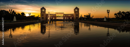
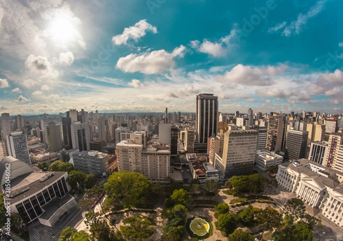
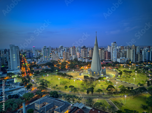
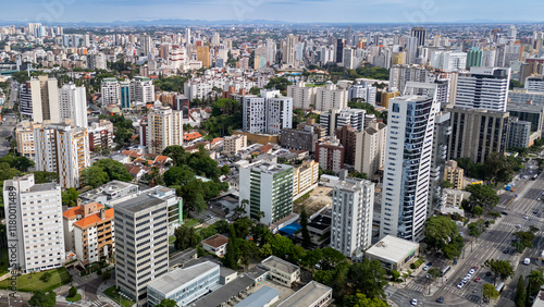
Aerial wide-angle landscape view of urbanized center with colorful skyscrapers in the morning - Santos Andrade Square - Curitiba, capital of Paraná State, Brazil
Waving ribbon or banner with flag
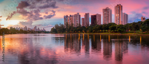
Aerial view of Curitiba City at sunset - Curitiba, Parana, Brazil
Botanical Garden, Curitiba. Parana State, Brazil
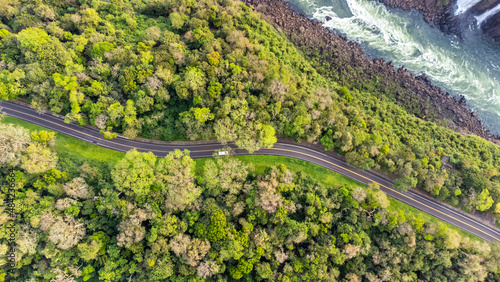
Aerial top view of a highway beside a river in Iguaçu National Park, Parana, Brazil
Parana Flag Vector Illustration on White Background. States Flag of Brazil.
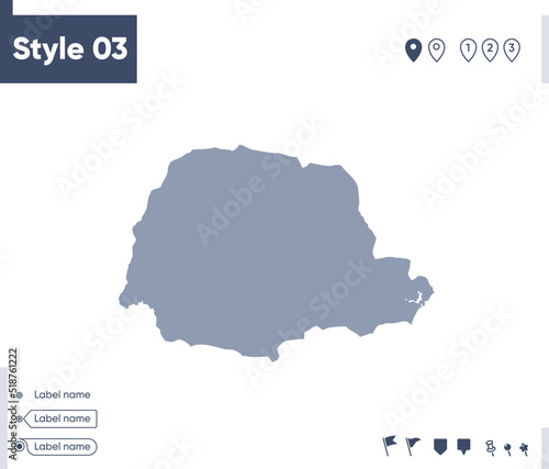
Carcass Map of Parana State
Parana Flag, state of Brazil. Vector Illustration.
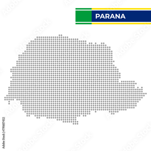
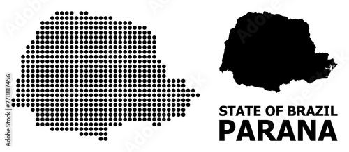
Dotted map of the State of Parana in Brazil
Atardecer en el rio parana
Parana State of Brazil vector map in gray color in line
Aerial shot over Parana River in Front of Rosario City
Aerial View of Maringa, Cathedral and downtown. Several buildings. Paraná, Brazil.
Abstract Parana State map isolated on a white background. Triangular mesh model in black color of Parana State map. Polygonal geographic scheme designed for political illustrations.
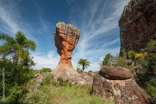
Arenitos avermelhados da formação Vila Velha no Parque Estadual de Vila Velha. Posta Grassa.
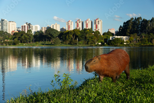
Capybara in Barigui Park in Curitiba Parana Brazil.
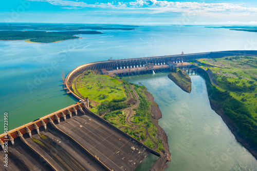
Aerial view of the Itaipu Hydroelectric Dam on the Parana River.
Botanical Garden - Curitiba, Paraná - Brazil
Ilha do Mel - Paraná. Aerial view of the Conchas lighthouse and beaches of Ilha do Mel
Government palace illuminating under golden sunlight at sunset in argentina
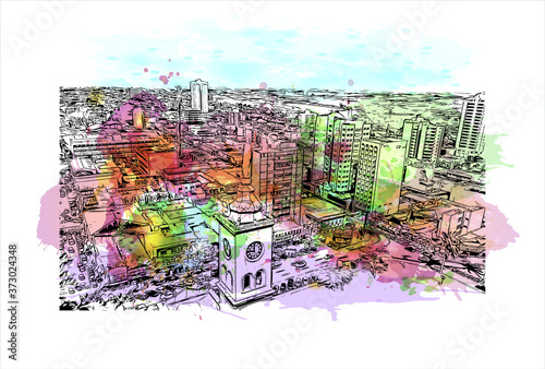
Building view with landmark of Apucarana is a municipality in the state of Paraná in Brazil. Watercolor splash with hand drawn sketch illustration in vector.
map of Parana state of Brazil
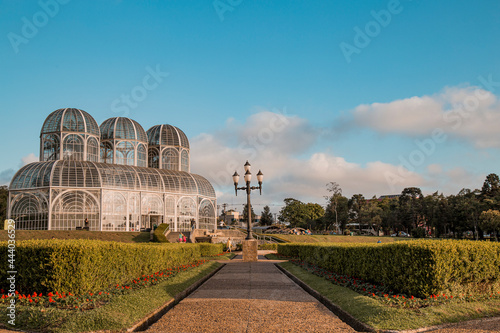
Greenhouse of Curitiba Botanical Garden - Curitiba, Parana, Brazil
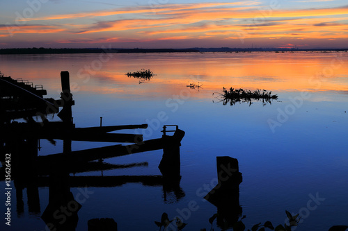
Beautiful sunset on the river parana in entre rios, Argentina, south america. An old wooden pier, the sky in orange tones is reflected on the water and aquatic plants pass by the river.
araucaria tree set. stock vector illustration
Iguazu Waterfalls, Foz do Iguacu, Iguazu National Park, Parana, Brazil, South America
Map of the territory of the state of Paraná with divisions by highlighted cities, vector with simple lines of political divisions
Pixel Pattern Map of Parana State
Curitiba, Parana, Brazil - August 08, 2019: Train in the Hugo Lange neighborhood of Curitiba, local time 02:24 PM.
Beautiful sunset illuminating Igapó Lake in the city of Londrina, Paraná State, Brazil.
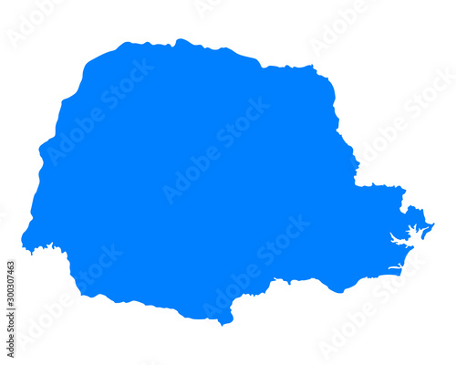
Parana state blank outline map
Aerial view of the Parque da Raposa ecological municipal park in Apucarana.
Historic Building in Antonina - Paraná - Brasil
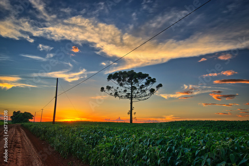
Sunset in Cascavel Parana - Araucaria and soybean plantation. Pinheiro do Paraná.
Vista aérea de Londrina e o lago Igapó, Paraná, Brasil
Karte von Parana
A view from a height of a mountain peak with green trees in the fog.Aerial view. Panoramic shot. Generative AI
Japanese Square in Curitiba Parana Brazil.
Parana, Brazil - map isolated on white background. Outline map. Vector map. Shape map.
Sunset above Zarate and Campana at the Parana River near Buenos Aires in Argentina
church in the historic center of antonina parana brazil brasil
Panorama of Iguazu Falls from drone. Iguazú Falls, Iguaçu Waterfall aerial view
parana High Quality map is a state of Brazil
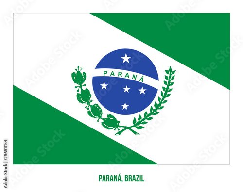
Parana state flag, Brazil
View of the Iguazu Falls, border between Brazil and Argentina.
View of a city from above, city of Umuarama, Paraná, Brazil City
flag Parana state Brazil
Tourist boat exploring Iguazu Falls on the border of Brazil and Argentina.
Seen with a drone on a sunny day in the central region of Curitiba, capital of the state of Parana
A Map highlighting Parana in the Brazil Map, Parana and Brazil modern map with Colorful Hi detailed Vector, geographical borders
State of Paraná, Brazil Stamp Map Postal. Silhouette. Passport Round Design. Vector Icon. Design Retro Travel National Symbol.
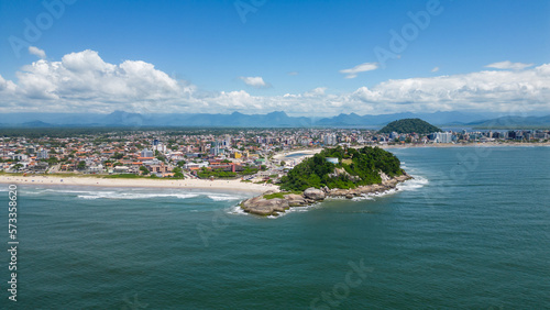
Aerial view of the central beach of the city of Guaratuba in a sunny day on the coast of Paraná, southern region of Brazil
Building view with landmark of Apucarana is a municipality in the state of Parana in Brazil. Hand drawn sketch illustration in vector.
Photograph of the Botanical Garden in Curitiba. Picture taken on a beautiful night with several tourists visiting one of the sights of the city.
Iguazu River Falls between the countries of Argentina and Brazil
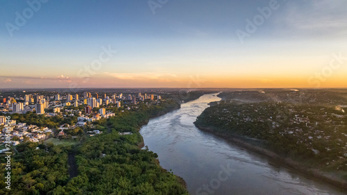
Border between Brazil and Paraguay and connects Foz do Iguaçu to Ciudad del Este. Ponte da Amizade in Foz do Iguaçu. Aerial view of the Friendship Bridge with Paraná river..
Brazil map with Paraná state flag in 3d render
Parana (Region of Brazil, Federated state, Federative Republic of Brazil) map vector illustration, scribble sketch Paraná (state) map
Lago Igapó na cidade de Londrina no Estado do Paraná, Sul do Brasil