Login
Sign Up
Member Area
Login
Sign Up
English
Afrikaans formal
Afrikaans informal
Arabic
Azerbaijan
Brazilian
Bulgarian
Catalan
Chinese simplified
Chinese traditional
Croatian
Czech
Danish
Dutch
English
Estonian
Finnish
French
Georgian
German
Greek
Hebrew
Hungarian
Icelandic
Indonesian
Italian
Japanese
Latvian
Lithuanian
Malaysian
Norwegian
Persian
Polish
Portuguese
Romanian
Russian
Serbian
Slovakian
Slovenian
Spanish
Swedish
Thai
Turkish
Ukrainian
Vietnamese
Toggle navigation
VideotonStock
Your Shopping Cart is empty.
Files
Stock
Photo
Video
Special offer
Collections
Packages
Lightboxes
Licenses
Royalty free
Rights managed
Creative
Editorial
Items
Most downloaded
Featured
Most popular
New
Free
Categories
Browse categories
Site info
Site info
About
Support
Privacy Policy
Privacy Policy
FAQ
Contact Us
Contact Us
Terms and Conditions
Buyer Agreement
Seller Agreement
Customers
Users
Credits
Photographers
Boby Richards
0
Boby Richards
0
Videoton1
286
Search
Keywords:
Creator ID:
Type:
Photo
Illustration
Vector
Video
Template
3d
Categories:
Animals
Buildings and Architecture
Business
Drinks
The Environment
States of Mind
Food
Graphic Resources
Hobbies and Leisure
Industry
Landscapes
Lifestyle
People
Plants and Flowers
Culture and Religion
Science
Social Issues
Sports
Technology
Transport
Travel
News
Entertainment
Sport News
Languages:
Brazilan Portuguese - Brazil
English - Canada
French - Canada
Spanish - Mexico
English - United States
English - Belgium
French - Belgium
Dutch - Belgium
Czech - Czech Republic
English - Cyprus
Danish - Danmark
German - Germany
English - Estonia
Spanish - Spain
French - France
French - Marocco
English - Greece
English - Ireland
Italian - Italia
English - Latvia
English - Lithuania
German - Luxembourg
English - Luxembourg
French - Luxembourg
English - Hungary
English - Malta
Dutch - Nederlands
Bokmal Norwegian - Norway
German - Austria
Polish - Poland
Portuguese - Portugal
English - Romania
German - Switzerland
English - Slovenia
Slovakian - Slovakia
French - Switzerland
English - Finland
Swedish- Sweden
Italian - Switzerland
English - United Kingdom
English - Bulgaria
English - Australia
Japanese - Japan
Korean - South Korea
English - New Zealand
Russian - Russia
English - Ukrain
English - Thailand
Orientation:
All
Horizontal
Vertical
square
Color:
Model property release:
All
Yes
No
Duration Video:
All
Up to 10 seconds
Up to 20 seconds
Longer than 30 seconds
Results
(0)
Site
Getty/iStock
Bigstockphoto
Pixabay
Adobe Stock
Relevance
New
Most popular
Most downloaded
Undiscovered
12
24
36
48
96
Auto paging
Menu
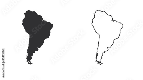
south america on white background vector EPS10
South america map illustration
hand drawn south America map isolated on white background
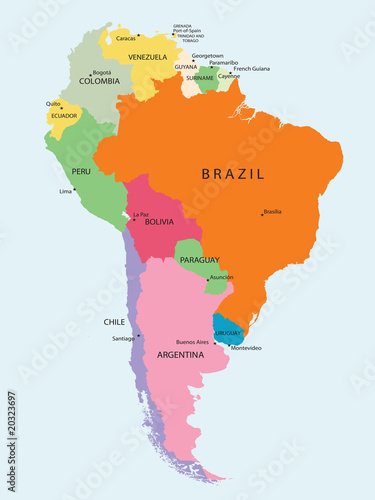
South America map isolated on a white background. Latin America background. Map of South America with regions. Vector illustration
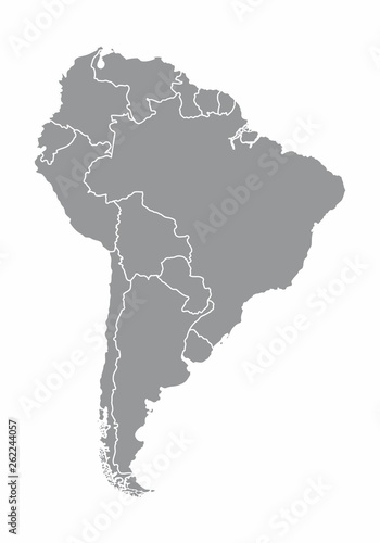
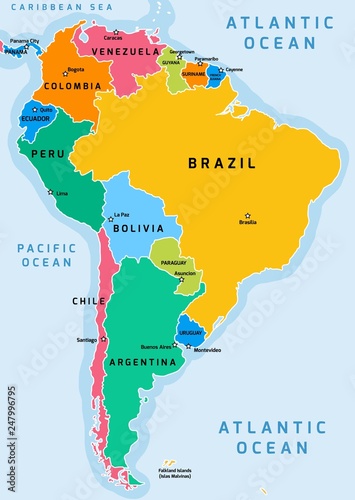
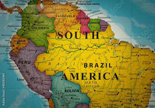
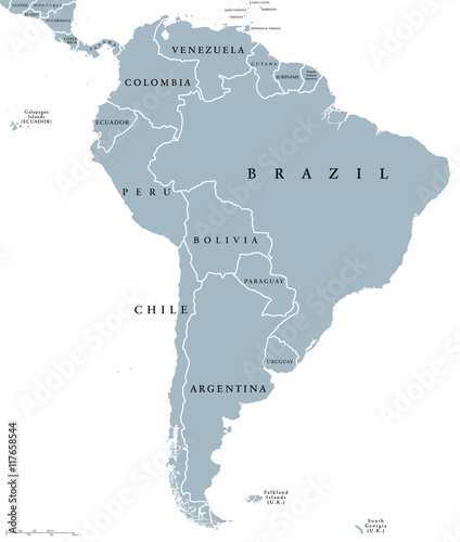
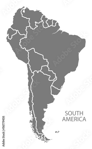
South America map
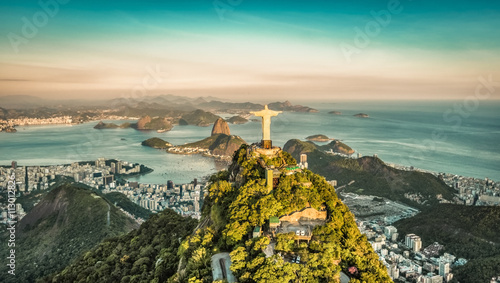
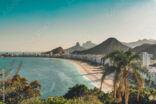
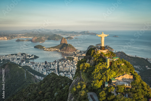
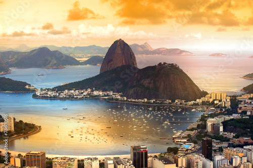
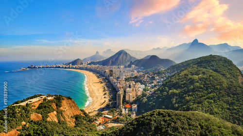
Aerial view of Botafogo Bay from high angle, Rio De Janeiro
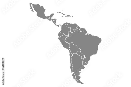
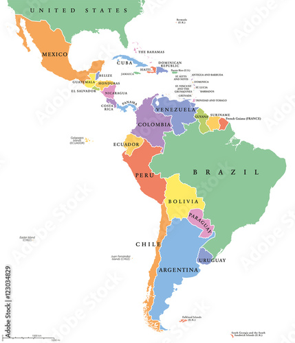
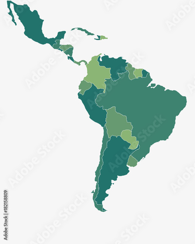
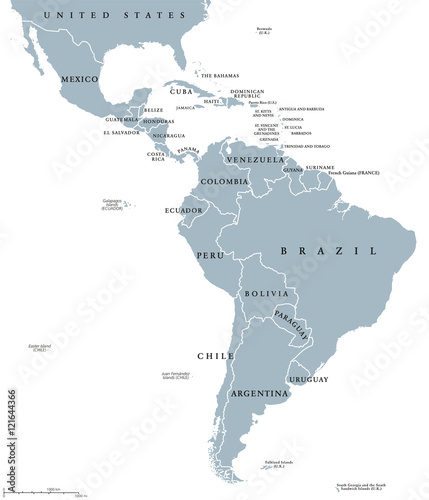
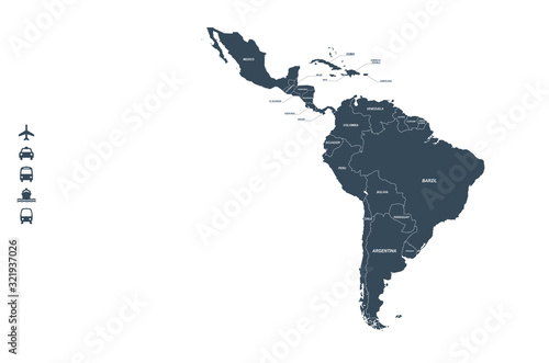
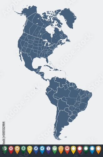
Latin America single states political map. Countries in different colors, with national borders and English country names. From Mexico to the southern tip of South America, including the Caribbean.
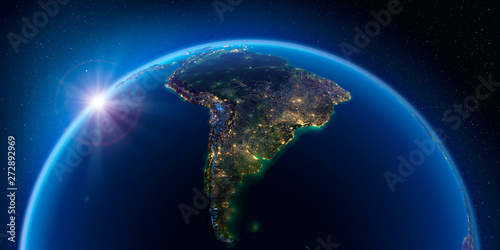
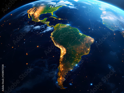
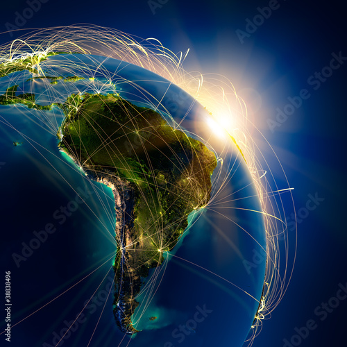
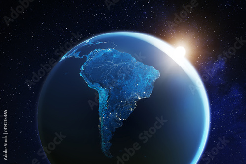
Earth at night and the light of cities. South America.
America map set with states borders isolated on white. Grey coloured map set. Vector
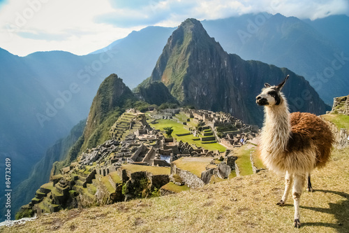
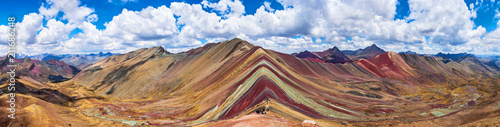
Lama And Machu Picchu
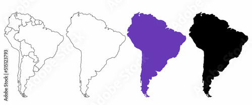
Latin/South America Map - High detailed isolated vector illustration
Silhouettes of the continents of South America. Continent map template. Vector illustration
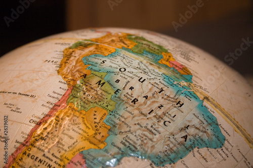
closeup Map continent of South America
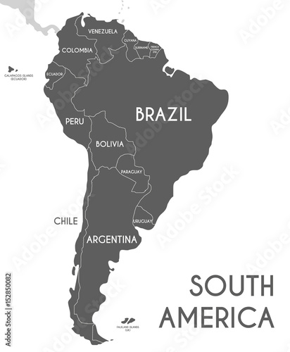
Map South America. Poster map of South America. Black and white print map of South Latin America for t-shirt, poster or geographic themes. Hand-drawn graphic map with countries. Vector Illustration
South America
shine waving colorful realistic national flag of united states of america . macro shot
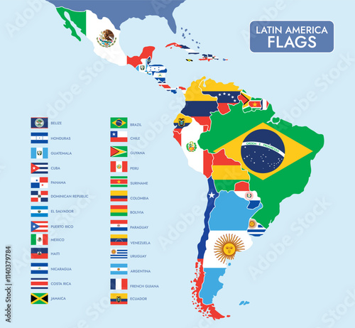
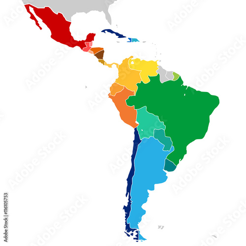
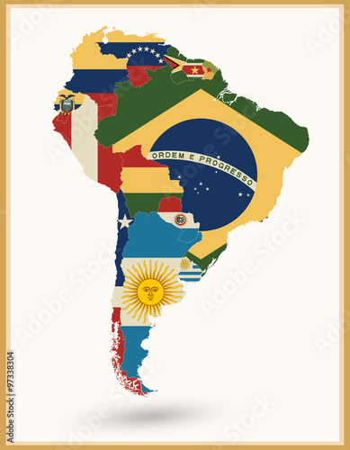
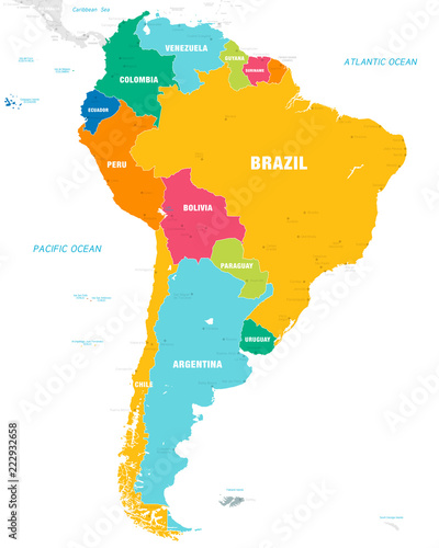
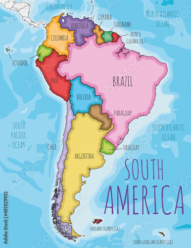
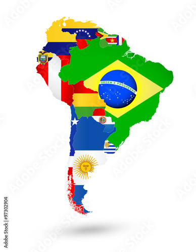
Latin America Map with National Flags
Brazil/Rio de Janeiro
Closeup of light striped handbags on the souvenir store in Bolivia
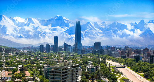
Santiago Chile cityscape
south america
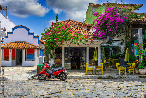
Stone street (Rua das Pedras) in Buzios, Rio de Janeiro, Brazil.
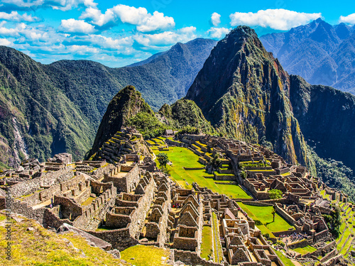
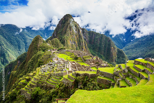
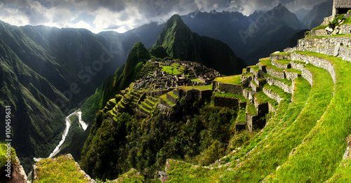
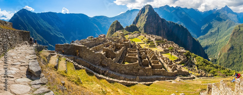
Machu Picchu - lost Incan City
View of Copacabana Beach in Rio de Janeiro, Brazil
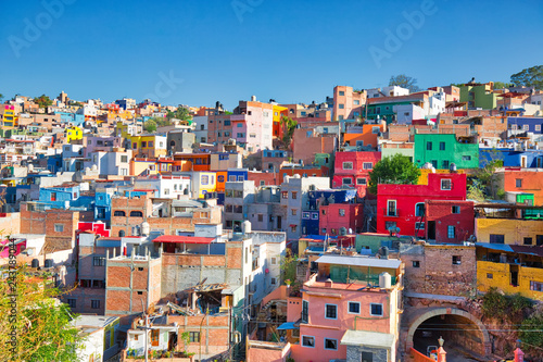
Guanajuato, Mexico, scenic colorful old town streets
Machu Picchu, Peru.
Aerial view of Christ and Botafogo Bay from high angle.
Hyacinth macaws (Anodorhynchus hyacinthinus) at her breeding cave at the tree trunk, Pantanal, Mato Grosso do Sul, Brazil, South America
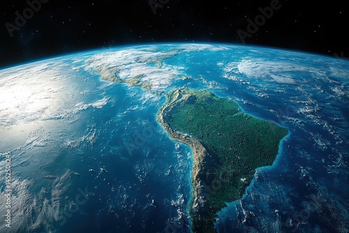
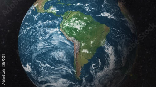
View of planet Earth from space highlighting the beauty of South America
A stunning view of Earth from space, highlighting South America with city lights glowing against the dark cosmos.
Latin America countries political map with national borders. Countries from the northern border of Mexico to the southern tip of South America, including the Caribbean. English labeling. Illustration.
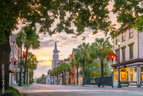
Charleston, South Carolina, USA
Colorful countries of Latin America. Simplified vector map.
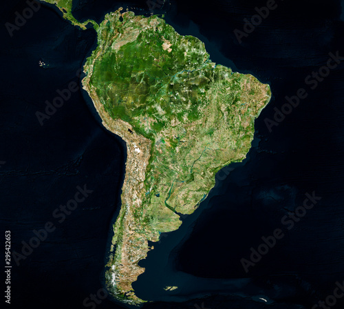
High resolution Satellite image of South America (Isolated imagery of South America. Elements of this image furnished by NASA)
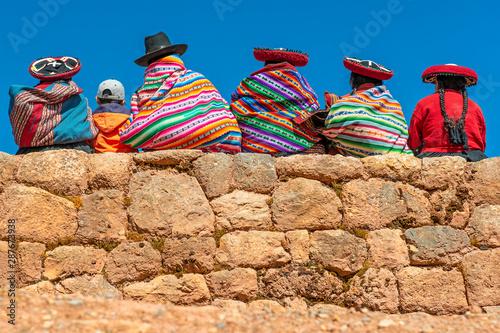
A group of Quechua indigenous women in traditional clothing and a young boy sitting and chatting on an ancient Inca wall in the archaeological site of Chinchero in the region of Cusco city, Peru.
south america
Distant view of La Paz, Bolivia, South America
Flat Design Latin America Map by Country
vector map of south america. latin america countries map.
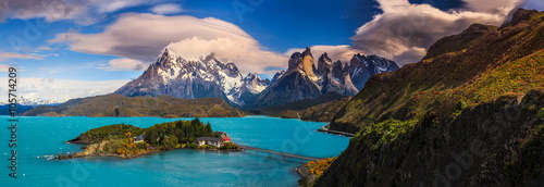
Around Chilean Patagonia
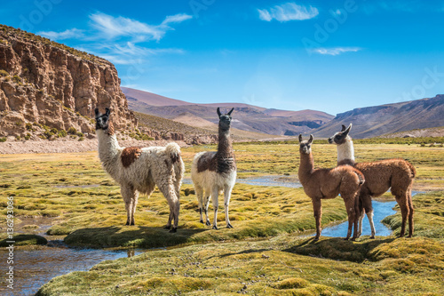
Llamas in Bolivia
South America Map With Flags And Vintage Colors
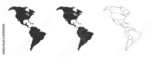
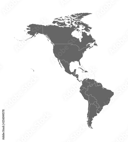
Map of North and South America
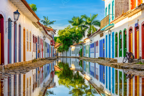
Street of historical center in Paraty, Rio de Janeiro, Brazil. Paraty is a preserved Portuguese colonial and Brazilian Imperial municipality
North and South of America territory, territory of Canada
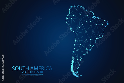
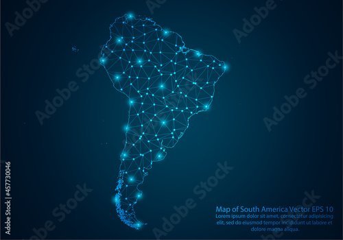
Digital globe made of plexus bright glowing lines. Detailed virtual planet earth. Technology structure of connected lines, dots and particles forming world. South america continent. 3d rendering
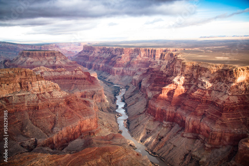
view over the south and north rim part in grand canyon from the helicopter
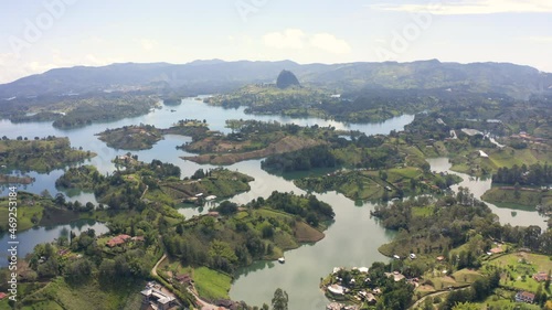
epic aerial view of nature landscape with many lakes and rivers in south america
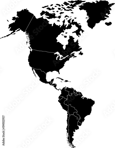
Vector illustration with map of North and South America continent with countries borders. Grey silhouettes, white background. White line borders of countries
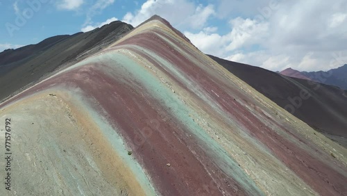
Rainbow Mountains, Cusco, Peru. 5200 m in Andes, Cordillera de los Andes, Cusco region in South America. Montana de Colores.
Colorful Vector map of South America
South America countries political map with national borders. Continent surrounded by Pacific and Atlantic Ocean. English labeling. Illustration.
Abstract digital map of South America, South American global network concept and connectivity, data transfer and cyber technology, information exchange and telecommunications.
Hanging easter decorations in Cuenca, Ecuador, South America
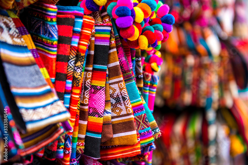
Colorful market street lined with crafts and vibrant decorations.
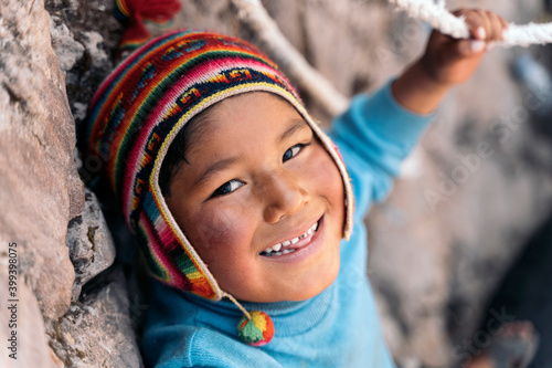
Portrait of peruvian boy
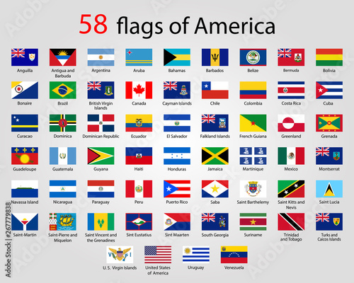
Flat Round Flags of America - Full Vector CollectionVector
view for iguazu falls argentina
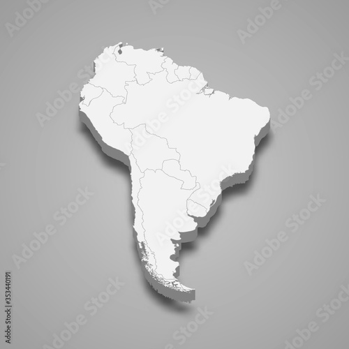
3d map of South America Template for your design
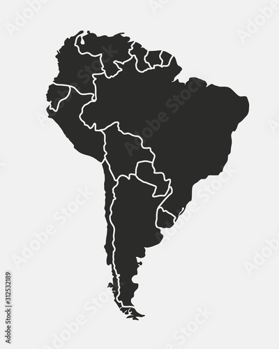
South America with countries Map grey
South America map
Political South America Map vector illustration with different colors for each country. Editable and clearly labeled layers.
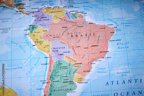
Brazil Bolivia Peru on the world map
Detailed vector map of South America Region
Smoking and snow-covered volcano Villarrica, Pucon, Región de la Araucanía, Southern Chile, Chile, South America
Earth zoom to South America satellite view 3d animation
Rainforest landscape with trees and fog - theme conservation, climate change and renewable energy - Generative AI
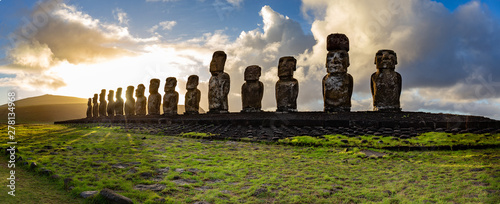
EASTER ISLAND Moais - Ahu Tongariki on rise of sun. Chile
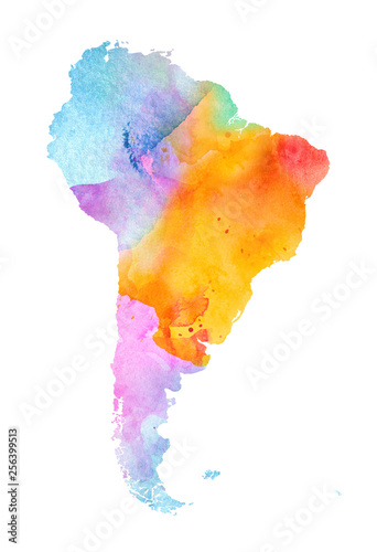
Multicolor Watercolor South America Map on white Background, Side View.
Rio De Janeiro, Brazil in twilight
Abstract mash line and point scales on Dark background with map of South America . Wire frame 3D mesh polygonal network line, design polygon sphere, dot and structure. Vector illustration eps 10.
Copacabana Beach and Ipanema beach in Rio de Janeiro, Brazil
Main air routes in South America
South America Map with flags and location on world map
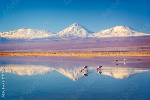
Snowy Licancabur volcano in Andes montains reflecting in the wate of Laguna Chaxa with Andean flamingos, Atacama salar landscape, Chile
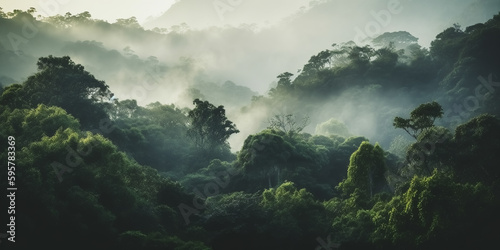
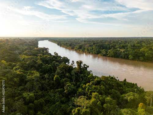
Dense Amazon Rainforest Jungle
Amazon Rainforest
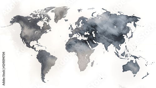
A serene and peaceful watercolor world map in muted tones
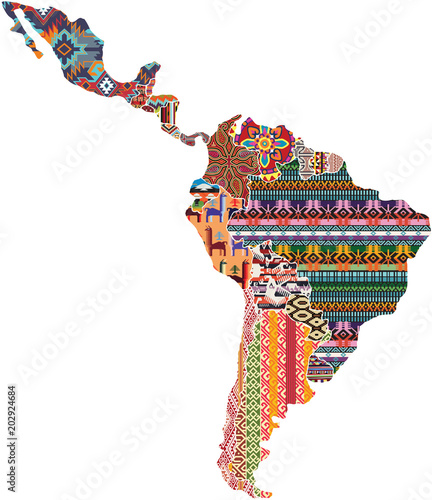
Central and south America native fabric pattern patchwork abstract vector map
Father and daughter enjoying time together
South American continent outline map PNG image
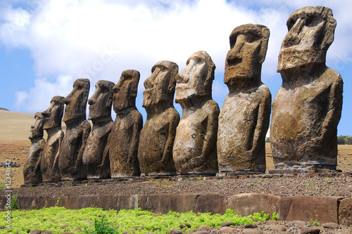
Ahu Tongariki - Easter Island
Concept of growing tea in South America continent. Map of South America with tea around
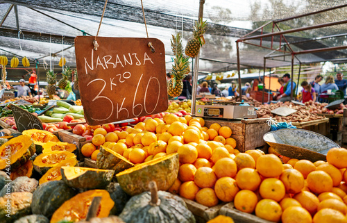
Uruguay, Montevideo, fruit on a market
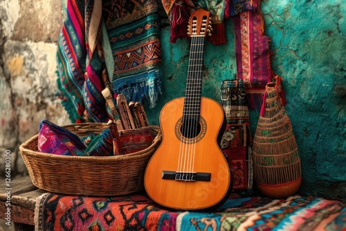
Andean guitar, textiles, artisan crafts, market stall, South America
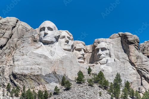
Mount Rushmore Under Blue Sky
South America viewed from space with sunrise on planet Earth and stars, overview of Amazon river and forest, night lights from cities in Brazil, Argentina, Chile, Peru, map elements from NASA, 8k
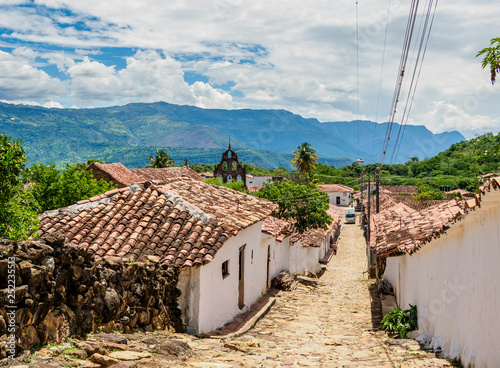
Guane, Santander Department, Colombia
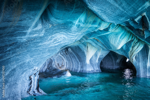
The Marble Caves (Spanish: Cuevas de Marmol ), a series of naturally sculpted caves in the General Carrera Lake in Chile, Patagonia, South America.
The Craggies in the Blue Ridge Mountains
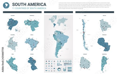
Vector maps set. High detailed 11 maps of South America countries with administrative division and cities. Political map, map of America continent, world map, globe, infographic elements.
Political South America Map vector illustration isolated on white background. Editable and clearly labeled layers.
The Americas, single states, political map with national borders. Caribbean, North, Central and South America. Different colored countries with English country names. Illustration over white. Vector.
Abstract mash line and point scales on dark background with map of South America.3D mesh polygonal network line, design sphere, dot and structure. Vector illustration eps 10.
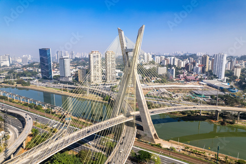
Aerial view of the Estaiada bridge. Sao Paulo Brazil. Business center. Famous cable-stayed bridge (Ponte Estaiada)
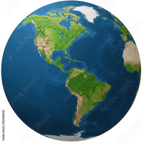
A globe showing north america south america and parts of africa and europe
Shot of the Rainbow Mountain (Montana de Siete Colores) in Peru.
Machu Picchu
View on Typical colorful chicken bus near Jerico Antioquia, Colombia, South America
Panorama of Mysterious city - Machu Picchu, Peru,South America