Login
Sign Up
Member Area
Login
Sign Up
English
Afrikaans formal
Afrikaans informal
Arabic
Azerbaijan
Brazilian
Bulgarian
Catalan
Chinese simplified
Chinese traditional
Croatian
Czech
Danish
Dutch
English
Estonian
Finnish
French
Georgian
German
Greek
Hebrew
Hungarian
Icelandic
Indonesian
Italian
Japanese
Latvian
Lithuanian
Malaysian
Norwegian
Persian
Polish
Portuguese
Romanian
Russian
Serbian
Slovakian
Slovenian
Spanish
Swedish
Thai
Turkish
Ukrainian
Vietnamese
Toggle navigation
VideotonStock
Your Shopping Cart is empty.
Files
Stock
Photo
Video
Special offer
Collections
Packages
Lightboxes
Licenses
Royalty free
Rights managed
Creative
Editorial
Items
Most downloaded
Featured
Most popular
New
Free
Categories
Browse categories
Site info
Site info
About
Support
Privacy Policy
Privacy Policy
FAQ
Contact Us
Contact Us
Terms and Conditions
Buyer Agreement
Seller Agreement
Customers
Users
Credits
Photographers
Boby Richards
0
Boby Richards
0
Videoton1
286
Search
Keywords:
Creator ID:
Type:
Photo
Illustration
Vector
Video
Template
3d
Categories:
Animals
Buildings and Architecture
Business
Drinks
The Environment
States of Mind
Food
Graphic Resources
Hobbies and Leisure
Industry
Landscapes
Lifestyle
People
Plants and Flowers
Culture and Religion
Science
Social Issues
Sports
Technology
Transport
Travel
News
Entertainment
Sport News
Languages:
Brazilan Portuguese - Brazil
English - Canada
French - Canada
Spanish - Mexico
English - United States
English - Belgium
French - Belgium
Dutch - Belgium
Czech - Czech Republic
English - Cyprus
Danish - Danmark
German - Germany
English - Estonia
Spanish - Spain
French - France
French - Marocco
English - Greece
English - Ireland
Italian - Italia
English - Latvia
English - Lithuania
German - Luxembourg
English - Luxembourg
French - Luxembourg
English - Hungary
English - Malta
Dutch - Nederlands
Bokmal Norwegian - Norway
German - Austria
Polish - Poland
Portuguese - Portugal
English - Romania
German - Switzerland
English - Slovenia
Slovakian - Slovakia
French - Switzerland
English - Finland
Swedish- Sweden
Italian - Switzerland
English - United Kingdom
English - Bulgaria
English - Australia
Japanese - Japan
Korean - South Korea
English - New Zealand
Russian - Russia
English - Ukrain
English - Thailand
Orientation:
All
Horizontal
Vertical
square
Color:
Model property release:
All
Yes
No
Duration Video:
All
Up to 10 seconds
Up to 20 seconds
Longer than 30 seconds
Results
(0)
Site
Getty/iStock
Bigstockphoto
Pixabay
Adobe Stock
Relevance
New
Most popular
Most downloaded
Undiscovered
12
24
36
48
96
Auto paging
Menu
Editable vector file of the continental United States.
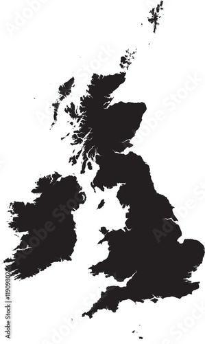
Editable vector silhouette map of the United Kingdom, including Great Britain (England, Scotland, and Wales) and Northern Ireland, along with smaller surrounding islands.
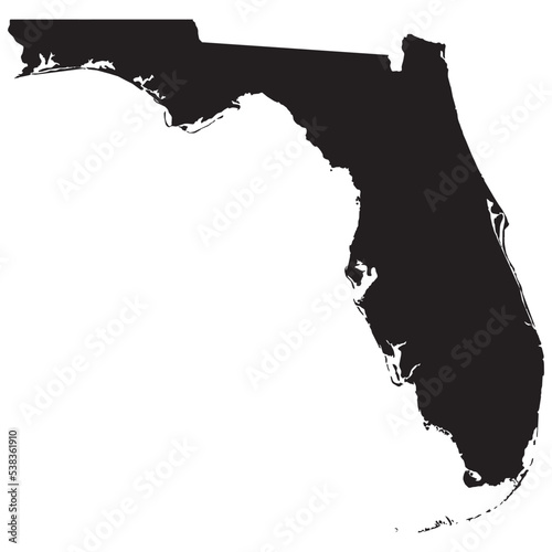
Black vector file of the state of Florida
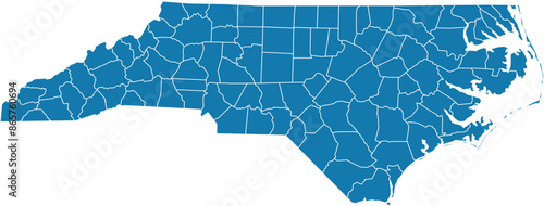
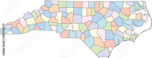
Editable vector file of the counties that make up the state of North Carolina, located in the United States.
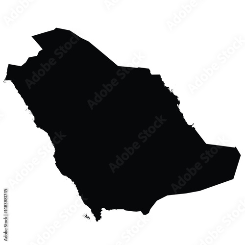
Editable vector black silhouette map of Saudi Arabia, highlighting its national borders in a minimalist, monochrome style.
Editable vector file of the counties that make up the state of Pennsylvania, located in the United States.
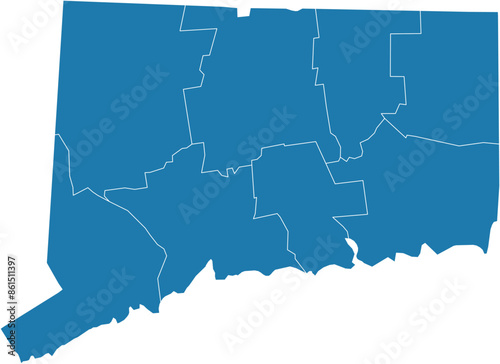
Editable vector file of the counties making up the state of Connecticut, located in the United States.
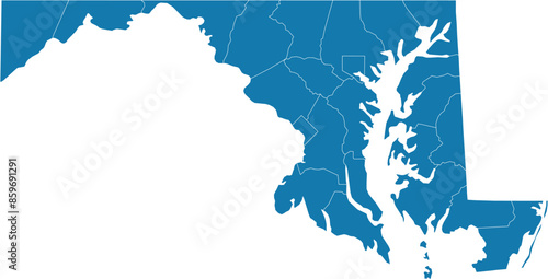
Editable vector file of the counties making up the state of Maryland in the United States.
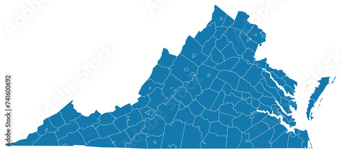
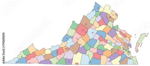
Editable vector file of the counties that make up the state of Virginia
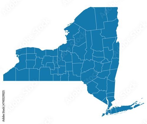
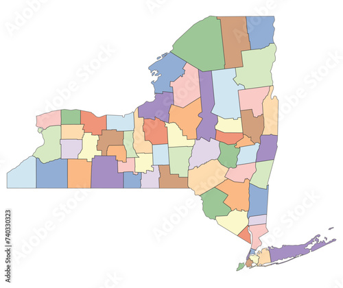
Editable vector file of the counties that make up New York State.
Editable black vector silhouette of Egypt, showing the Sinai Peninsula and the clearly defined course of the Nile River running north through the country into the Mediterranean Sea.
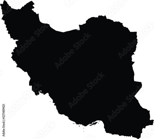
Editable vector file of the country of Iran.
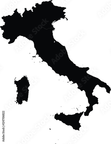
Editable vector silhouette map of Italy, including its mainland and the islands of Sardinia and Sicily.
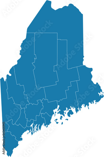
Editable vector file of the counties that make up the state of Maine, located in the United States.
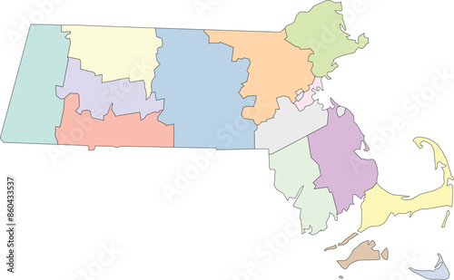
Editable vector image of the counties that make up the state of Massachusetts, located in the United States.
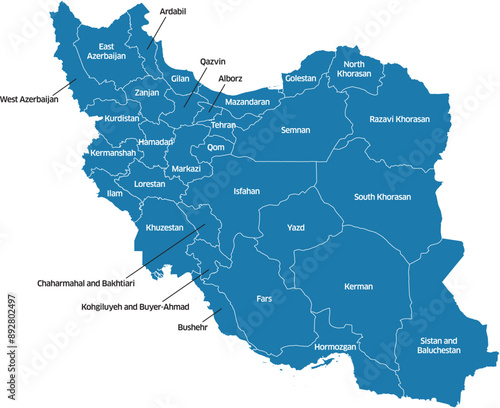
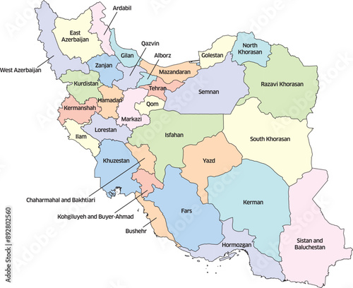
Colorful editable vector political map of Iran, showing its various provinces. Each province is labeled with its name.
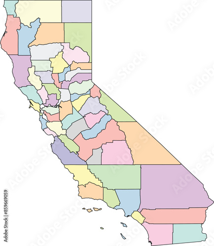
Editable vector file of the counties that make up the state of California, located in the United States.
Editable vector file of the state of Florida with counties included.
Editable vector silhouette of France, including the island of Corsica.
Editable vector silhouette map of the Asian country of Vietnam.
Editable vector silhouette map of the Asian country of India.
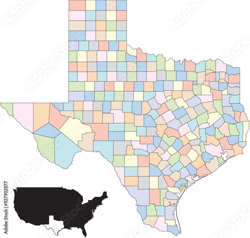
Colorful vector map of Texas, highlighting the state's different counties
Editable vector file of the counties that make up the state of California, located in the United States.
Editable vector file of the counties making up the state of Maryland in the United States.
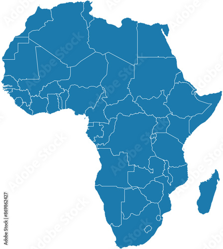
Editable vector file of Africa with countries and country names labeled.
Editable vector file of the Central American country of Panama.
Colorful editable vector political map of Iran, showing its various provinces. Each province is distinctly colored and labeled with its name.
Editable vector file of the counties that make up New York State.
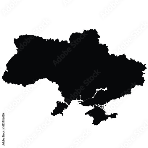
Editable black vector silhouette map of Ukraine, featuring a simplified, border-only outline that includes the Crimean Peninsula.
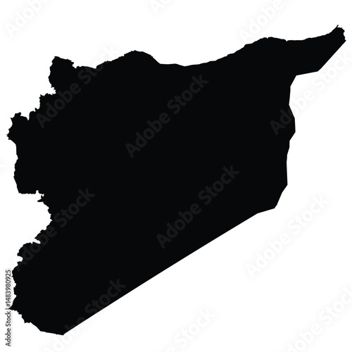
Editable vector silhouette of Syria, showcasing its distinctive irregular shape with a jagged western coastline along the Mediterranean Sea.
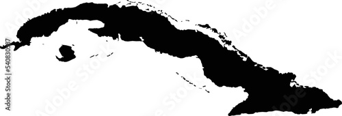
Editable black vector image of Cuba.
Editable vector file of the counties that make up the state of North Carolina, located in the United States.
Editable vector file of the counties that make up the state of Maine, located in the United States of America.
Colorful map of Oklahoma showing the boundaries of its counties
Colorful map of Oklahoma showing the boundaries of its counties
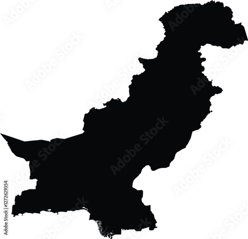
Editable vector silhouette map of the Asian country of Pakistan.
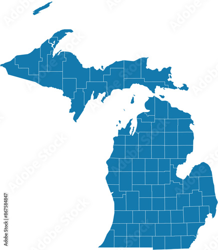
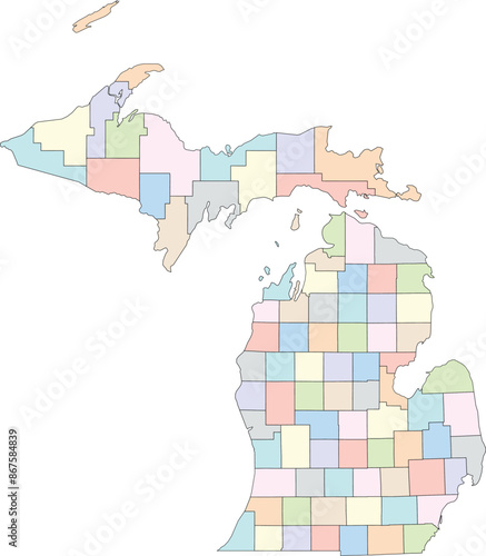
Editable vector file of the counties that make up the state of Michigan, located in the United States.
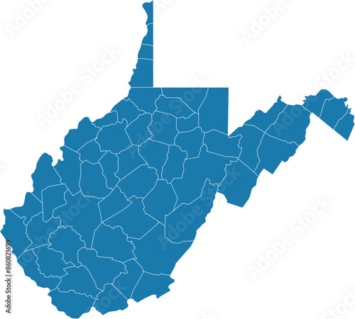
Editable vector file of the counties that make up the state of West Virginia, located in the United States of America.
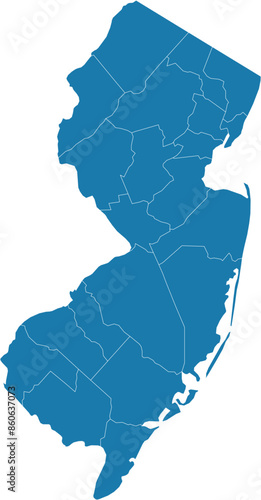
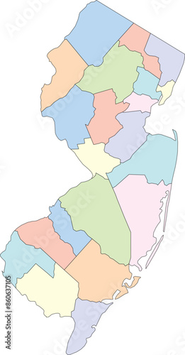
Editable vector file of the counties that make up the state of New Jersey, located in the United States of America.
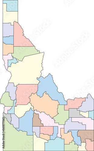
Editable vector file of the counties that make up the state of Idaho, located in the United States of America.
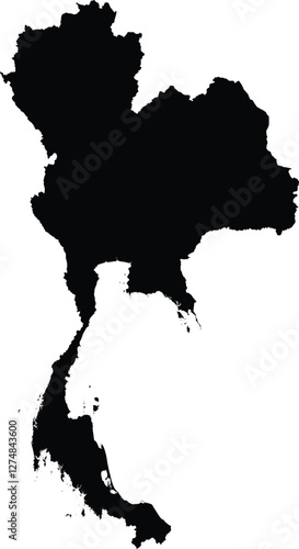
Editable vector silhouette map of the Asian country of Thailand.
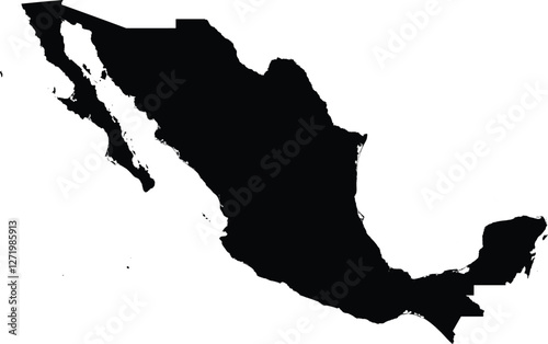
Editable vector file of the country of Mexico.
Editable vector silhouette of Indonesia, including the major islands such as Sumatra, Java, Borneo (Kalimantan), Sulawesi, and Papua, along with the many smaller islands that make up the country.
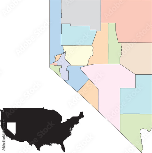
Colorful editable vector map of Nevada, showing the boundaries of its counties.
Colorful vector map of Texas, highlighting the state's different counties
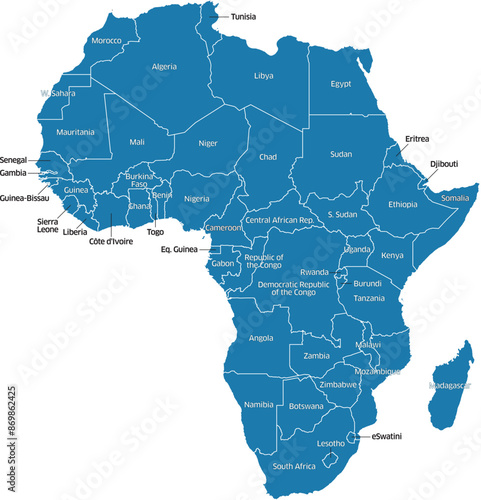
Editable vector file of the countries forming the continent of Africa.
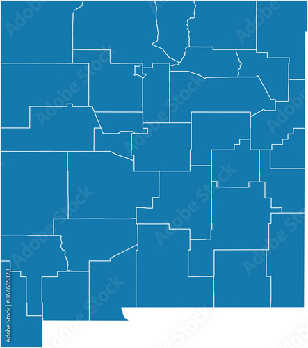
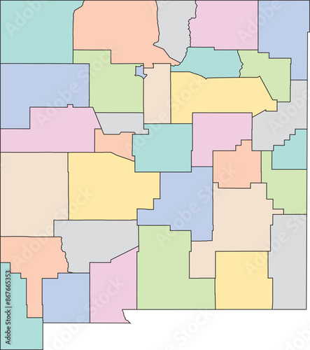
Editable vector file of the counties that make up the state of New Mexico, located in the United States.
Editable vector file of the continental United States.
Editable vector file of the counties that make up the state of Idaho, located in the United States of America.
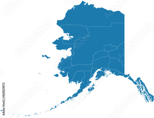
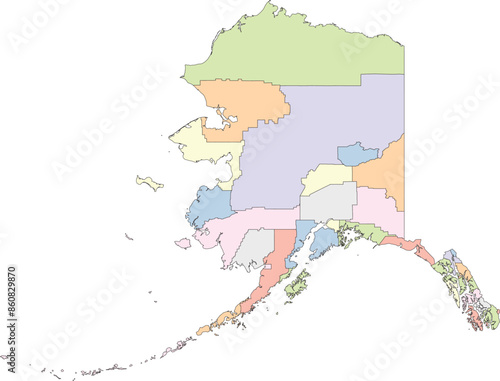
Editable vector file of the counties that make up the state of Alaska, located in the United States.
Editable vector file of the counties that make up the state of Virginia
Editable vector silhouette map of the Asian country of Bangladesh.
Editable vector silhouette map of the Asian country of Laos.
Editable vector silhouette map of the Asian country of Burma/Myanmar.
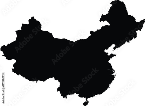
Editable vector file of the Asian country of China.
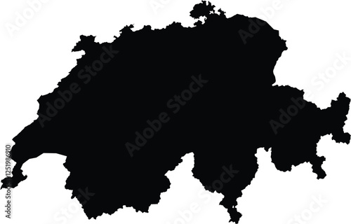
Editable vector silhouette map of Switzerland, displaying the country's distinct irregular borders characteristic of its mountainous terrain.
Editable black-and-white eps silhouette of Greenland showcasing its rugged coastline and intricate fjords.
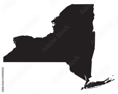
Black vector file of the state of New York
Colorful editable vector map of Nevada, showing the boundaries of its counties.
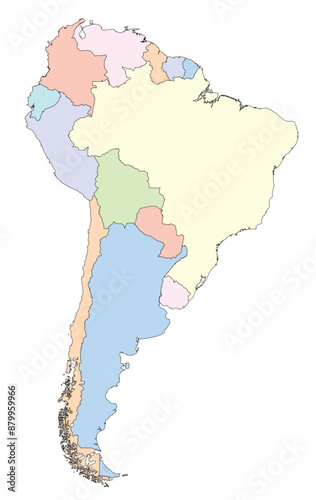
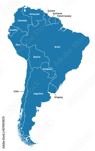
Editable vector file of South America in various colors.
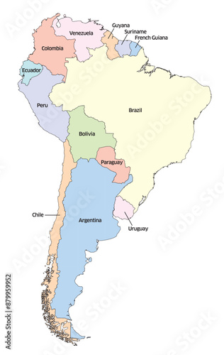
Editable vector file of South America in various colors with labeled countries
Editable vector file of continental South America
Editable vector file of South America with labeled countries
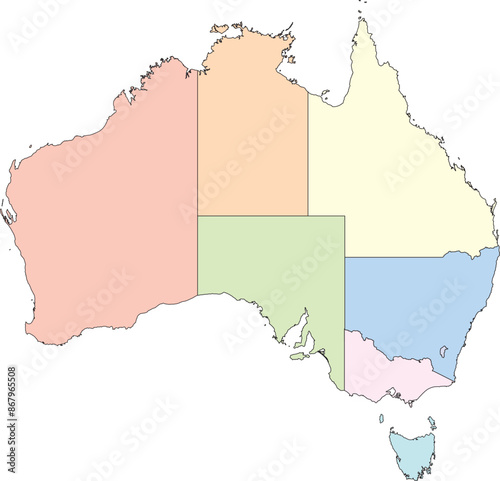
Editable vector map of Australia, including labeled states.
Editable vector map of Australia, including its states labeled.
Editable vector file of the countries forming the continent of Africa.
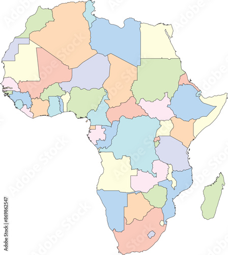
Editable vector file of Africa with countries and country names labeled.
Editable vector map of Australia
Editable vector map of Australia
New Mexico_vector
Editable vector file of the counties that make up the state of Michigan, located in the United States.
Editable vector file of the counties making up the state of Connecticut, located in the United States.
Editable vector file of the counties that make up the state of Alaska, located in the United States.
Editable vector file of the counties that make up the state of West Virginia, located in the United States of America.
Editable vector file of the counties that make up the state of New Jersey, located in the United States of America.
Editable vector image of the counties that make up the state of Massachusetts, located in the United States.
Editable vector file of the counties that make up the state of Pennsylvania, located in the United States.
Editable vector file of the state of Florida with counties included.
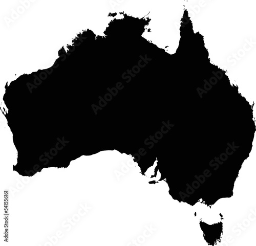
Editable vector shape of the country of Australia.